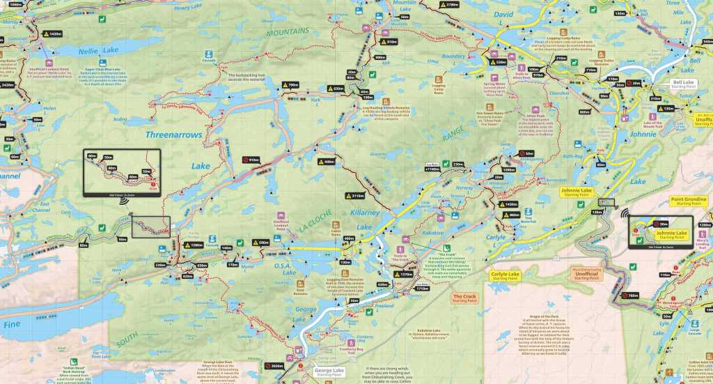
I recently spent the Victoria Day long weekend (+ three vacation days) in beautiful, rugged Killarney Provincial Park with my brother Alain, in order to hike the La Cloche Silhouette Trail, probably one of the toughest multi-day hikes in Ontario. I had booked sites way back in January, and was pretty happy with how the itinerary looked, given it was Alain’s first backcountry trip. See here for my previous post where I previewed the trip plan.
Also wanted to shout out the Tim & Victoria blog – my mom found their blog when she was looking into where her sons were disappearing to, and their trip was largely similar to what Alain and I had planned. It was a great reference and helped with planning a bit.
Preparation
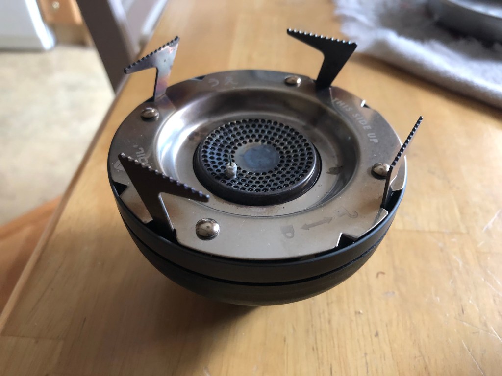
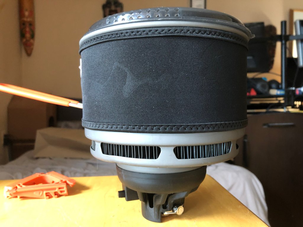
For this trip, I ended up getting a few additional useful pieces of gear from MEC, including my own camp sink (still need to return Nikola’s), camp booties, a RAB SilTarp 1 (which will be useful for ultralight trips in the future!), as well as, most importantly, a bigger 1.8 L pot for two people (my JetBoil vessel is barely big enough for just me!). In order to make this pot work with my stove burner, I purchased a stove adapter, and, with the help of my dad, slightly modified it so it nestled neatly on the burner, for minimal heat loss.
My brother also went all out and bought literally EVERYTHING for backcountry, including tent, sleeping pad, sleeping bag, pack, hiking boots, etc. Super cool to see his enthusiasm!
I spent four days before we left dehydrating up a storm to get meals ready for camping. I figured Alain wouldn’t enjoy my go-to lentils + veggies + pasta for six days (we just had one meal of that on the trip!) so I decided to try dehydrating a few new things:
- Spinach – This was initially frozen, so it took a while to squeeze out all the water. Worked out well though!
- Tofu – Another very water-laden food. One thing I forgot based on this article was to pre-freeze it. Still turned out good, though took a while to dehydrate!
- Soup – This appealed a lot since it’s really quick on the trail – just add soup powder to hot water…done, done, done! I decided to make a red lentil sweet potato soup for this trip…packed with a lot of great nutrients. Definitely a keeper.
- Coconut yogurt – Didn’t prep too much of this, but this is a good addition to oatmeal in the morning.
Alain and I stayed over at our parents’ place the night before we left – both of us have cats and wanted to not have to rush around the day we left. We planned out our meals and snacks, as well as did a sanity check on packing to make sure we had just the right amount of clothing/gear. I always pack too much on the first pass, so it was good to consolidate a bit.
Day 1
We left the parents’ place at around 10am, with plans to stop at MEC in Barrie so Alain could exchange his pack. I had mistakenly suggested he get a 55L pack when I meant 65L. He ended up getting a 60L Gregory Stout as the 65L Gregory Zulu (which I have) was out of stock. I also picked up a small swiss army knife as well as some stuff sacks.
We arrived at Killarney at the George Lake campground just after 3pm and realized that the park office had closed only minutes prior. Some fellow campers suggested we write a note on the dash which indicated we had permits and were going to be parking for 6 days. I also added our confirmation number from the booking email.
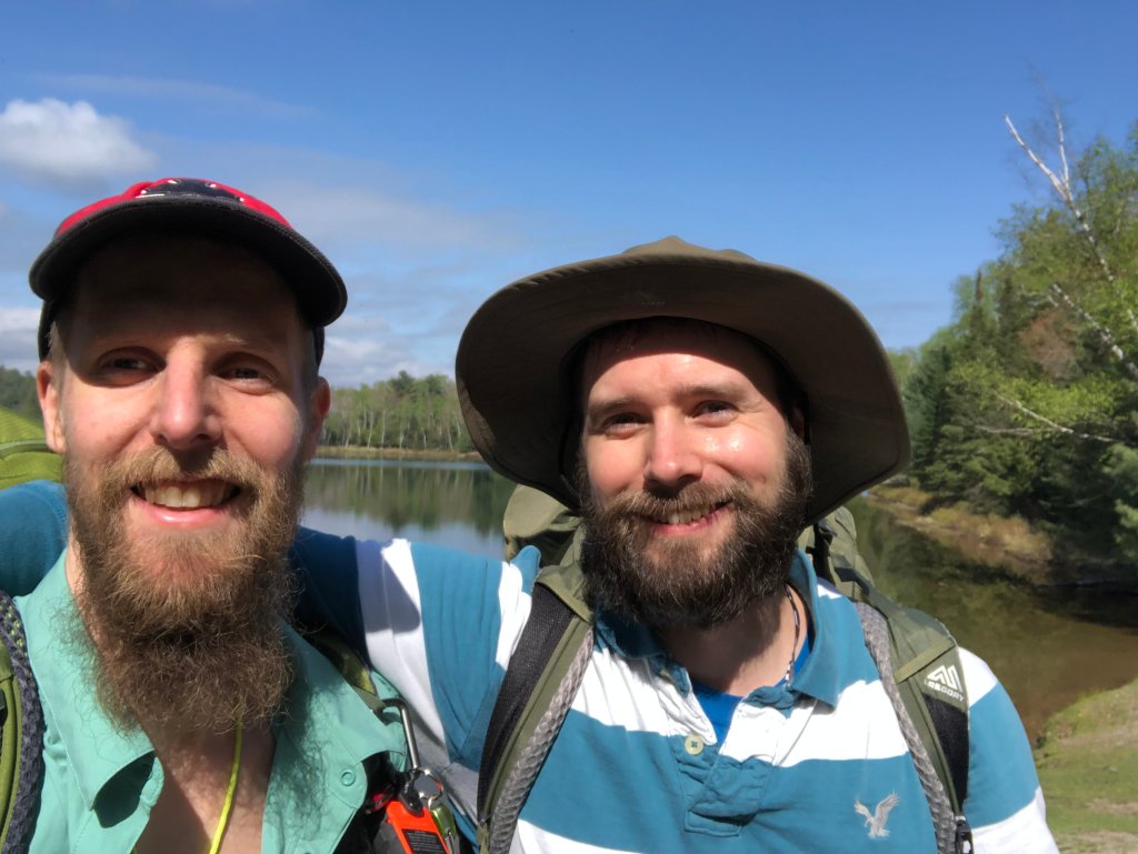
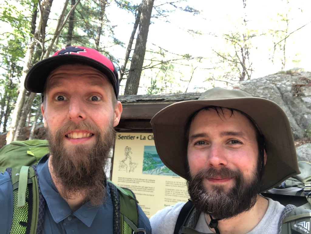
The La Cloche Silhouette trail has two trailheads roughly 20 minutes apart on foot. Our adventure started at the west trailhead, but we decided to park at the beach near the east trailhead to reduce the amount of hiking on the last day. Turned out to be a great decision! After making it to the trailhead, we snapped an obligatory “before” photo, and set off on the trail at 4:41pm! Luckily the days are very long at this time of year, so we had plenty of daylight.
Day 1 was a pretty easy day. It was only 7.54km according to my GPS watch, and fairly flat most of the way. We took one break about 3km in, but otherwise made good time to our first campsite. I normally don’t bother with making a campfire when I camp alone, but Alain really did a good job working on fires at all our sites, which was nice in the evening and morning when it was chilly out. We didn’t bring paper, but he was more than happy burning pages of his book to get the fire started each time. This was a time when burning books actually has utility!
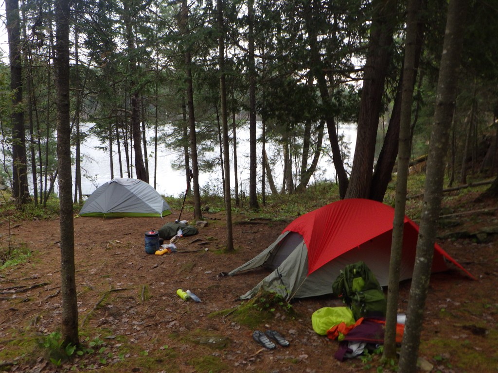
After arriving at camp just after 7pm, we set up, had dinner, and were off to bed at around 9pm (fairly late by by standards!).

GPS Track
Weather: Sunny with some clouds, chilly, 7.2°C
Site: H5 (Cave Lake) – pretty decent site
Hike Time: 2h 14min 13sec
Hike Distance: 7.54km
Total Ascent: 207m
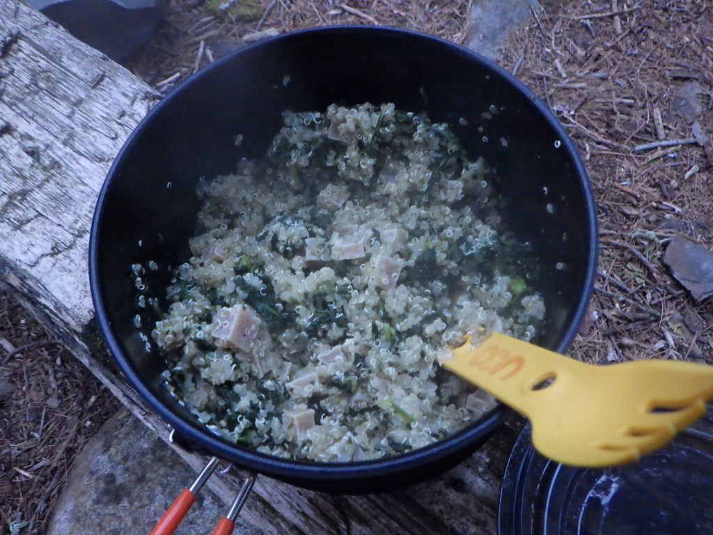
Dinner: Quinoa, tofu, spinach. The tofu was rubbery and could honestly have been cooked a bit more, but was okay nevertheless!
Day 2
First of two long days of the trip, so we wanted to get an early start. The forecast had called for some rain overnight and it was pretty spot-on, things were a bit damp in the morning. Was up at 7:20am and had our first breakfast on the trail – oatmeal! I opted for quick oats, along with an assortment of goodies to add, inspired by Nikola’s oatmeal mix from our Ishpatina trip last July. This power-packed oatmeal included: almonds, walnuts, chia, flaxseed, sunflower seeds, pumpkin seeds, dried currants, shredded coconut, chocolate chunks, along with a tablespoon or so of vegan protein (peaches & cream flavor). Alain also made pour-over coffee. Yum! This was our breakfast all five mornings on the trail and was honestly better than my breakfasts at home.
I was able to stuff my sleeping bag into a (kinda too small at 6.5L) stuff sack for some extra space savings in my pack! Really need to look into doing this more, even with clothes, in the future. After packing up, we were off at 9:20am. The terrain was fairly flat at first, before the big hills started roughly 2.8km in. After resting at the top, we set off again. Around Kirk Creek, there was a bit of confusion with my plotted route where we got a bit off course and had to backtrack. For whatever reason, FATMAP gave me some difficulty plotting properly. We finally got back on track; it was a very difficult day due to the distance travelled. Alain had to stop quite a bit to rest, and I was happy to do so – rest is best! We finally stumbled into camp after a half-marathon’s worth of hiking.

After setting up camp, we jumped in the lake to cool off, and it was freezing! As we were finishing up dinner, a brief thunderstorm rolled in at around 7pm, so we retreated to our tents after packing the food away and rinsing the dishes at around 7:30pm.
GPS Track
Weather: Cloudy and cool, heavy rain in the evening, 8.9°C to start
Site: H20 (Three Narrows Lake) – good site but had to improvise a bit to find a spot for two tents
Hike Time: 7h 39min 57sec
Hike Distance: 21.34 km
Total Ascent: 1344m
Dinner: Red lentil sweet potato soup
Day 3
I woke up at 6am after a pretty decent nights sleep (sadly, this was probably the last good nights sleep I had). It again rained off and on all night, so things were a bit damp in the morning. Since our hike was pretty short, we decided to take our time getting things going, and were able to dry out our tents/footprints. We hit the trail just before noon, at around 11:20am.
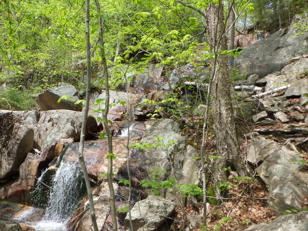
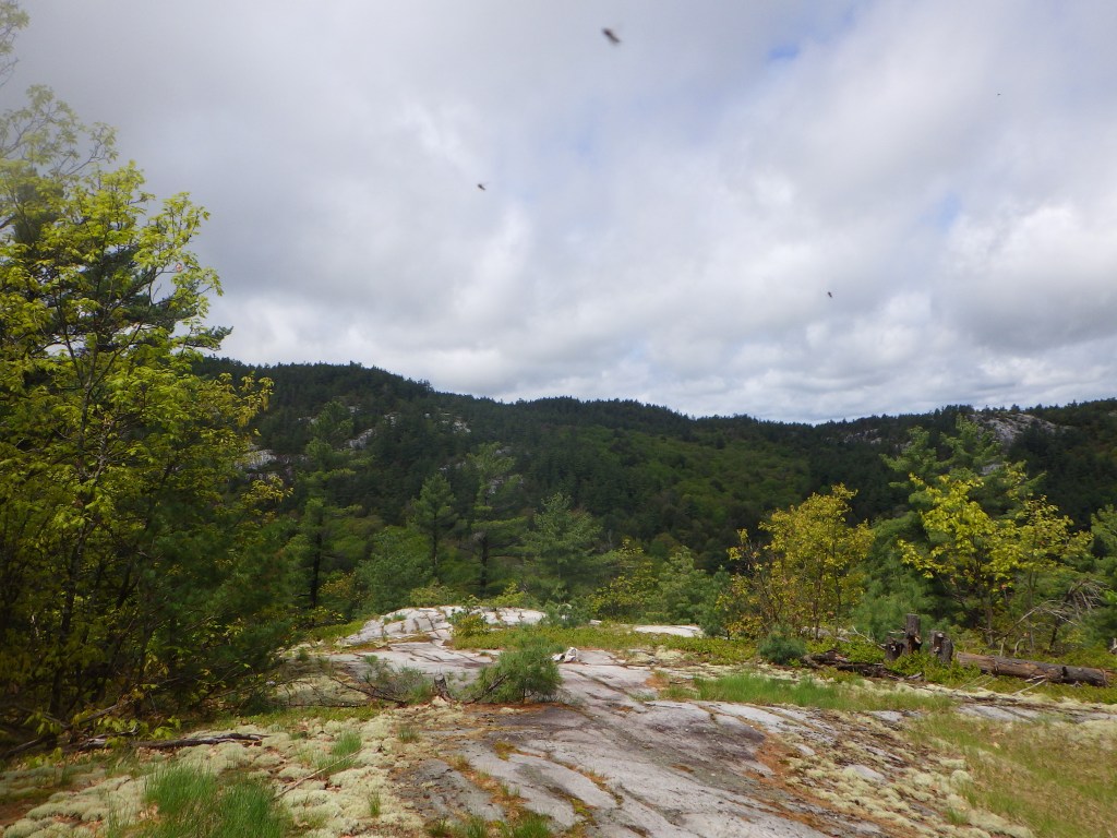
We caught up with three really nice (badass) 20-30 something women, who were doing the entire trail in three days! Considering how much this trail kicked our butts in 6 days, I hope things went well for them. 🙂 On the trail, we were initially planning to break out the camp stove on the trail and cook a hot lunch, but we opted instead to push on and just have an energy bar on the trail, and eat when we arrived at camp. Day 3 featured a bit more “scramble” type terrain…a sign of things to come! This included climbing up a literal waterfall. That was pretty fun!
This day featured also my first FATMAP screw-up – I had plotted the route and messed up the end point, so we ended up hiking about 2km more than we had thought. I actually scouted ahead sans pack for a bit just to make sure – turned around when I saw H22, the site before ours.
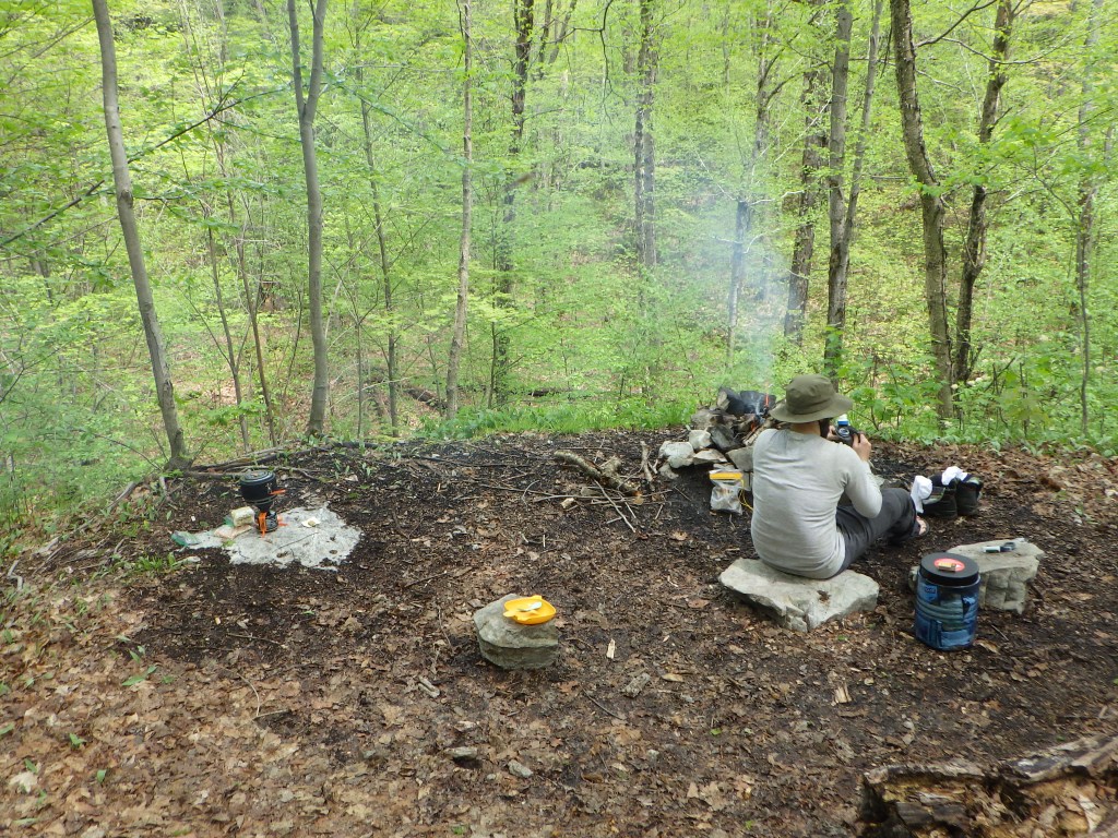
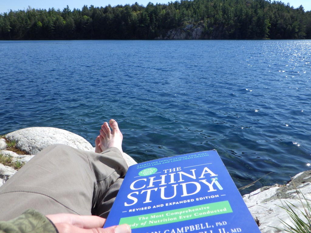
After arriving at H23, our site for the night, we were disappointed to see that there was no lake to swim in. Our site was at the top of a big hill in the middle of the woods, with a stream at the bottom of a steep hill for water (at least the running water was a good thing!). Site was very spacious though and had a nice area for the firepit and cooking. The rest of the day was pretty relaxing, had the chance to sit outside and read my book (The China Study, highly recommend). I really liked how I was able to read and absorb the contents of the book in the middle of the backcountry with no distractions; I’ve struggled to focus at home and read books with my computer only feet away!
We had dinner at around 4:45pm, and Alain retreated to his tent shortly thereafter. I followed suit around 6pm – our second long day was the next day so important to get lots of rest!
GPS Track
Weather: Sunny and warm, 13.3°C
Site: H23 (Moose Pass) – not the greatest site. No lake, but lots of space. Also not too far off the trail
Hike Time: 3h 2min 3sec
Hike Distance: 8.31 km (including some backtracking)
Total Ascent: 306m
Lunch (not bars!): instant noodles with bouillon and Bulk Barn dehydrated veggies
Dinner: Kraft Dinner pasta with the leftover red lentil sweet potato soup
Day 4
This was the first of three brutal nights of sleep. It was very cold overnight, and even bundled up with multiple layers in my sleeping bag, I struggled to stay warm. I should note that for all of my camping trips so far (other than my South Sister overnight in Oregon), I used a cheap Canadian Tire sleeping bag, which works really well for summer camping but I clearly needed a shoulder season bag for this trip (I bought a MEC Draco 0C Down bag after I returned home).
In addition, it rained a lot overnight starting around midnight and was still raining when we woke up at 6am. We hastily prepared breakfast and packed up our gear in the downpour and hit the trail in record time, at 8:15am. One really cool thing I found out about Alain’s tent (MEC Spark 2.0) is that you can leave the fly erected while you disassemble the tent underneath, keeping it largely dry. One point to the Spark as a candidate new tent for me for next year (also looking at going with another Big Agnes)!
The trail started off immediately rugged, with quite a few steep hills. We took quite a few rests early on, and luckily the rain let up at around 9am, though the weather remained overcast for the rest of the morning. At around lunch time, the sun finally came out and we were able to shed our rain gear, and (try to) dry our boots and socks. While climbing a rocky section, I saw above a set of eyes and ears peeking over at us – as we climbed we found out it was a curious doe. Biggest animal we saw on the trail.
The hike after lunch was pretty gnarly. Between the 6.2 to 8.3km mark, there were a lot of steep descents which required dropping on our butts to safely step down. Despite this, we both took a few tumbles due to the slippery rocks – very close call on injuring my ankle!
For most of the rest of the hike, the trail was much more even and less rugged. The weather remained a mix of sun and cloud with the odd brief rainfall here and there. At the turn off for Silver Peak (highest point in the park), the trail became very flat and smooth for a large stretch, and we were able to stretch things out and pick up the pace for a bit. We opted not to climb Silver Peak as we were very exhausted – maybe next time! There was one last tough climbing stretch – cruel that it was so close to our campsite, but pushed through and finally stumbled into camp after almost nine hours of hiking.
Our campsite (H38) was a really cool site – it was on a bit of a spit, giving the feeling that we were on an island. The major complaint was access to the water – it involved carefully walking down the rocks to a tree with rope attached, and holding the rope to avoid falling in the lake. Upon arrival, we immediately pulled out our tents and tarps, and laid them out to dry in the warm sunlight and light wind. Our boots were dried in front of the bonfire. Luckily it did not rain again, so everything dried beautifully.
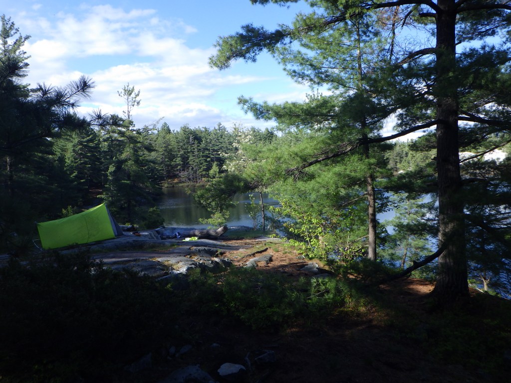
We jumped in the lake to freshen up and cool off, and after having dinner, we were in our tents at 8pm for a well-deserved rest after a long day!
GPS Track
Weather: Rainy until ~9am, overcast until ~11:30am, sunny onwards with brief drizzle, 7.8°C
Site: H38 (Silver Lake) – I really liked this site, lots of space.
Hike Time: 8h 48min 54sec
Hike Distance: 20.12 km
Total Ascent: 1054 m
Dinner: André Special (red lentils, orzo pasta, dehydrated california mix veggies)
Day 5
Once again, a very cold night! I woke up before 5am, and huddled in my bag until 5:40am, when I started packing up my things. Other than the temperature, the night was pretty calm and dry; only a little condensation on my footprint. For breakfast, I finally tried reconstituting the coconut yogurt powder and it worked out quite well.
We initially planned to leave around 9:30am, but since both of us didn’t sleep well we ended up leaving an hour earlier. The trail started off in the forest and was really flat, so we made good pace to start off the day. We had quite a few hilly sections, including a pretty steep spot where someone humorously wrote on the trail marker, probably in disbelief that the trail was heading in that direction. After climbing up a couple large inclines, there was a long downhill section through the forest where we were really moving quickly.

After climbing a rocky section, I quickly realized I may have made another map plotting error in FATMAP. I scouted ahead sans pack and found that our site was roughly 1.2 km ahead. Pretty annoying! We eventually reconvened and made it to camp at around 2pm. I realized upon arriving that I had a massive blister on the fourth toe on my right foot, almost half the size of the toe itself. I pondered lancing it, but decided to try and leave it alone and deal with it once we were back in civilization.

Our site (H49) at Little Superior Lake was probably my favorite site of the trip. It was very spacious and had really good access to the lake (of course, we went swimming here too – it was extremely cold!). After swimming and setting up camp, we spent the afternoon relaxing – I sat on the rocks by the lake in the sun and read my book. It was a very peaceful atmosphere – I felt like I could stay there for days!
We had dinner at around 5pm (my first fuel canister finally died halfway through cooking – glad we brought a backup), and went back to my spot by the lake to do more reading until around 7pm. When stashing the BearVault in the woods, I saw a fox running by. One more sleep to go!
GPS Track
Weather: Mild, sunny, 7.8°C
Site: H49 (Little Superior Lake) – Another great site – spacious, good water access
Hike Time: 5h 9min 26sec
Hike Distance: 13.58 km
Total Ascent: 600 m
Dinner: Red lentils, Bulk Barn veggies, Kraft Dinner (with cheese)
Day 6
Final day!
Sleep again was poor – I slept pretty well until 1am or so, before it really started to get cold. Suffice to say I was glad when it hit 5am and the sun started to rise. It was super satisfying to finally empty the BearVault of food – as a result I was able to shove a lot of stuff in the barrel to save space, including the pot, stove, both fuel canisters, the camp sink, and the water pump. I joked that it was a bigger accomplishment packing the barrel over getting my doctorate!

We got out of camp in record time – 8am! Today was the day we passed through the Crack, a notable attraction in Killarney. The climb up was pretty straightforward – we took a good long break at the top (got reception, so was able to message my mom that we were alive and almost done) before descending the Crack.

Boy was that gnarly! Lots of jagged rocks and plenty of fantastic places to injure yourself with a bad step. We definitely took our time here. We finally got off the rocks and into the forest. We moved fairly quickly through this section, taking several breaks along the way, until we reached the bottom part of the trail, which was largely flat. We were super keen on finishing quickly, so we hustled, taking the odd break so I could rest my feet (I really need to get proper multi-day hiking boots – I only have day hiking boots and I felt it).

We eventually reached the last stages of the trail where we encountered a couple guys just starting out (opposite direction). We wished them luck and they encouraged us that we were nearly done. The last 700m was marked with a sign and it was probably the longest 700m I have ever walked in my whole life. When I saw the trailhead I almost started crying, I was so relieved to be done, haha! Just a short walk to the car from the trailhead – super glad we parked close to the end. We jumped in the lake to celebrate, before packing the car and heading home (the blister never popped, thankfully).

GPS Track
Weather: Mild, sunny, 8.9°C
Site: N/A
Hike Time: 5h 1min 18sec
Hike Distance: 13.35 km
Total Ascent: 415 m
Dinner: Mom’s delicious homemade pizza
Super proud of Alain for finishing this monster of a trail with me – it certainly wouldn’t be my choice for a first backcountry trip! 🙂

2 thoughts on “Killarney Provincial Park – La Cloche Silhouette Trail”