This post picks up from where I left off last, covering the next 3 days of my trip to Saskatchewan, which were spent at the Great Sand Hills and expansive Cypress Hills, the latter of which features the Saskatchewan High Point.
You can check out Part 1 and Part 3 here.
Day 4
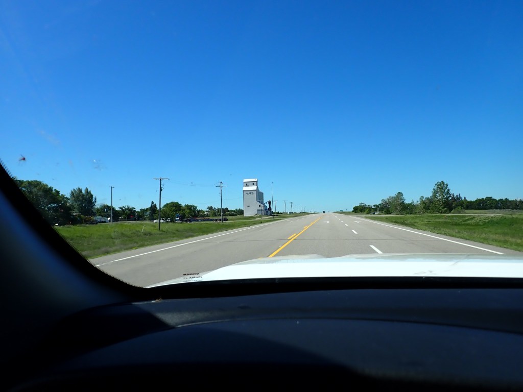
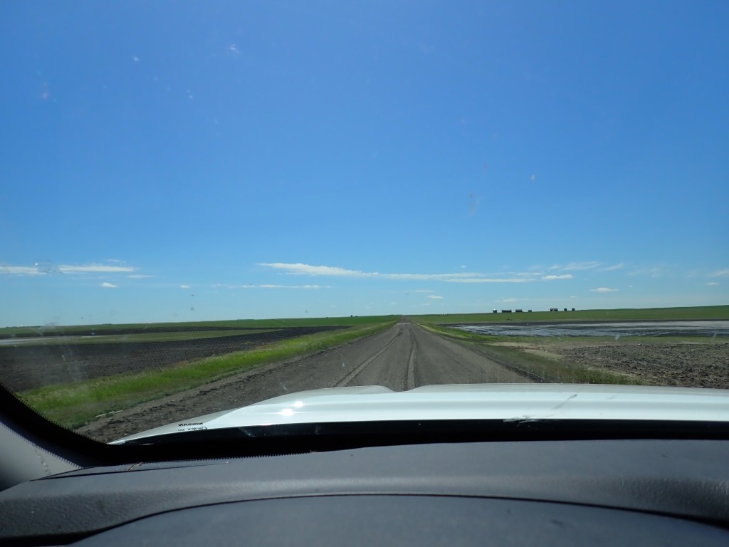
Day 4 saw me driving to the far northwest of my planned drive loop to Leader, a small town near the Great Sand Hills in Saskatchewan. Fairly uneventful drive, but did enjoy the scenery. After passing through Leader, I made my way to the Sand Hills which are about 40 mins away. The dunes are accessed by a series of dirt/gravel roads, and the “fastest” route with the least time on the dirt/gravel was a straight shot south from the main road.
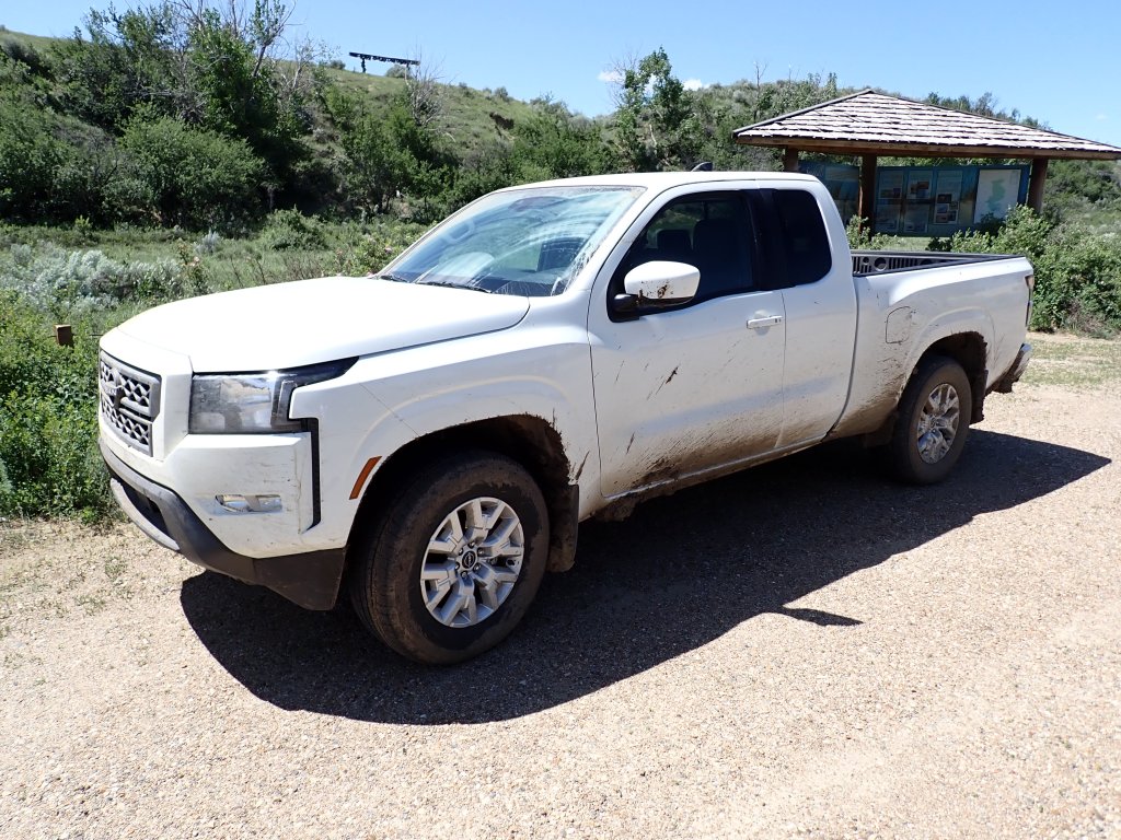
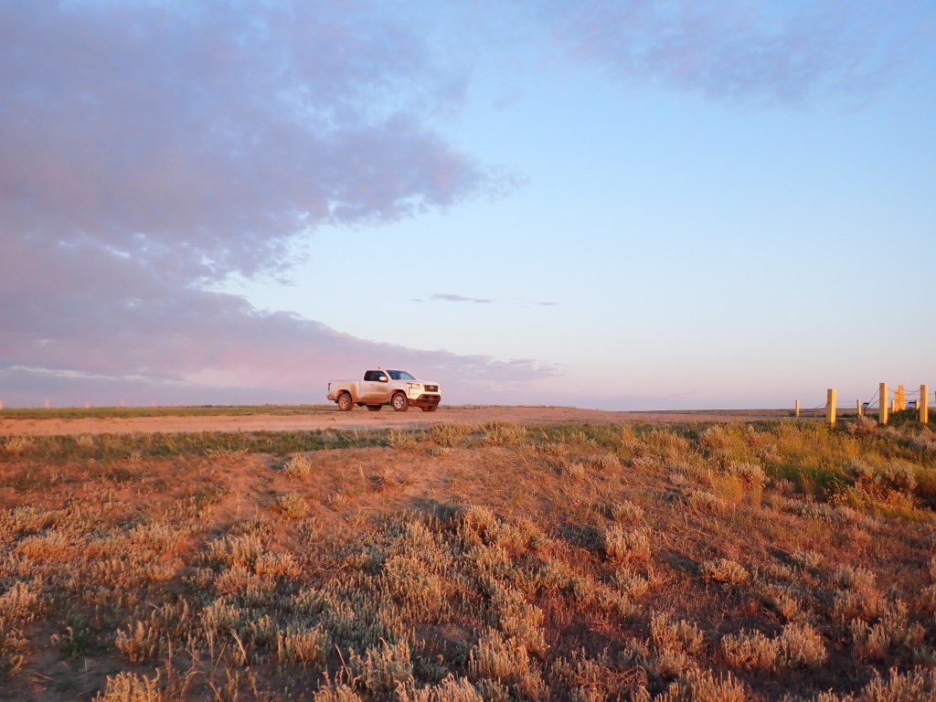
Unfortunately, the road was very wet and muddy, and I actually got stuck when I opted to slow down at one muddy section. After struggling for a few minutes and panic starting to set in, I realized “you’re in a truck doofus!” and quickly found the toggle to put the truck in 4WD. I then smoothly glided my way out of the mud and the rest of the drive to the dunes was smooth sailing. Wow, imagine I hadn’t missed my flight and ended up in a standard sedan/hatchback! The truck was absolutely filthy as a result – made a mental note to find a car wash in Regina before returning it!
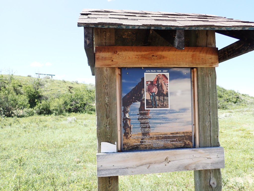
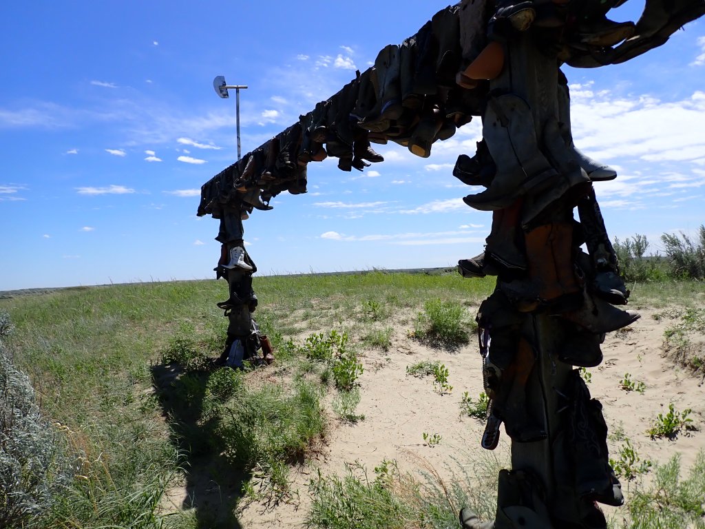
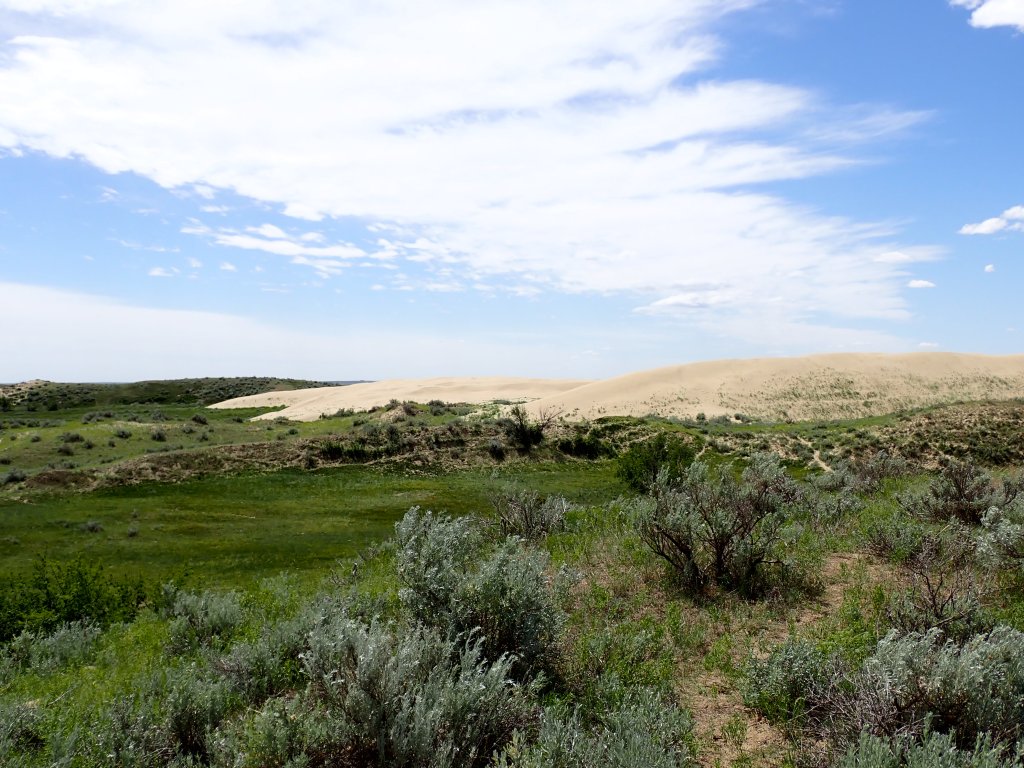
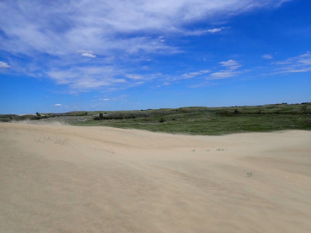
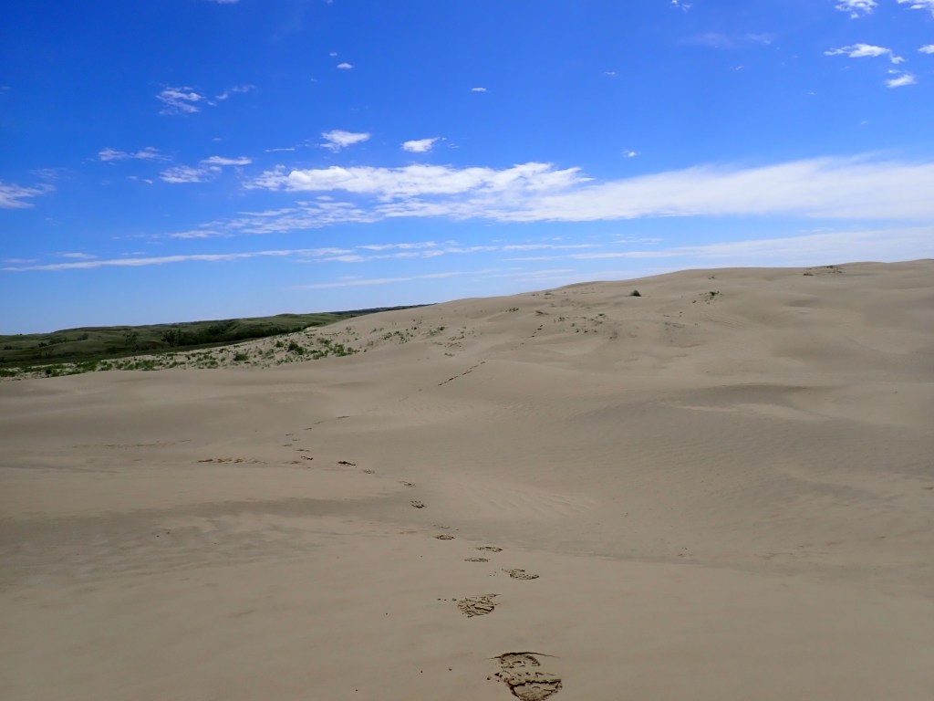
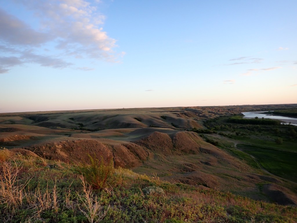
The Sand Hills constitute about 1900 square kilometers of active sand dunes, and it really felt like I was in a desert and not in Canada! They were formed during the last ice age over 12000 years ago and stand at most 15 meters high. The sand was very fine, and is known as rock flour, a typical result of glacial erosion. Near the entrance there was a structure with dozens of boots hanging – the Great Sand Hills Hanging Cowboy Boots! The boots are a memorial to John Both, who served as a steward of the Sand Hills and surrounding area for much of his life.
The area is quite windy, and because I did not have sunglasses, my time in close proximity to the dunes was limited. It was otherwise a fun little walk on the trail and on some of the dunes, and it was a really beautiful day! I even fund a sheltered area where I fired up the camp stove for lunch.
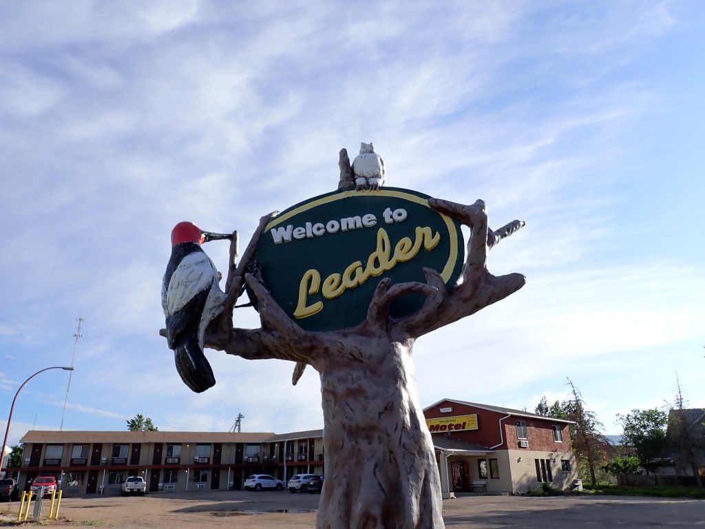
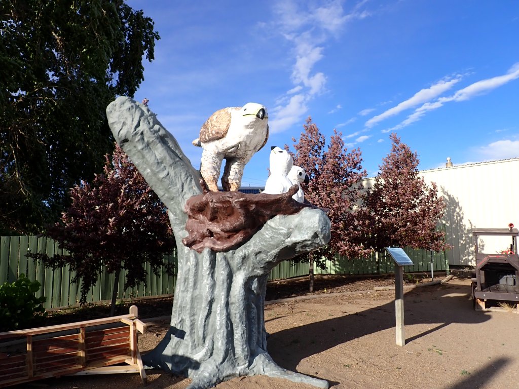
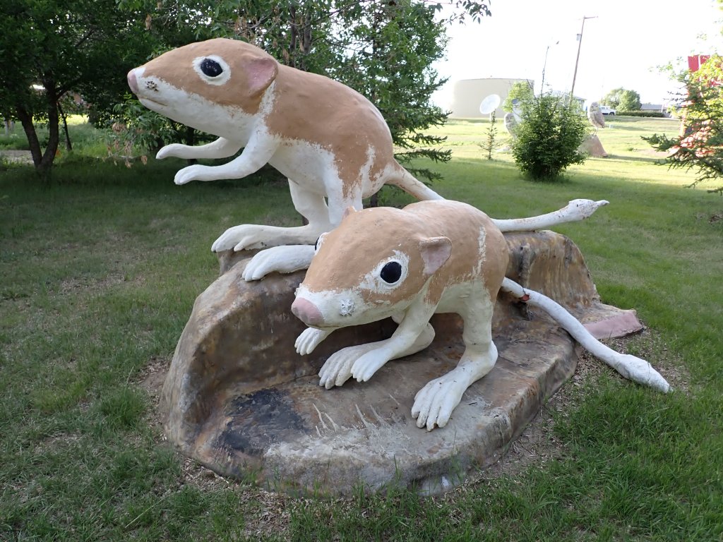
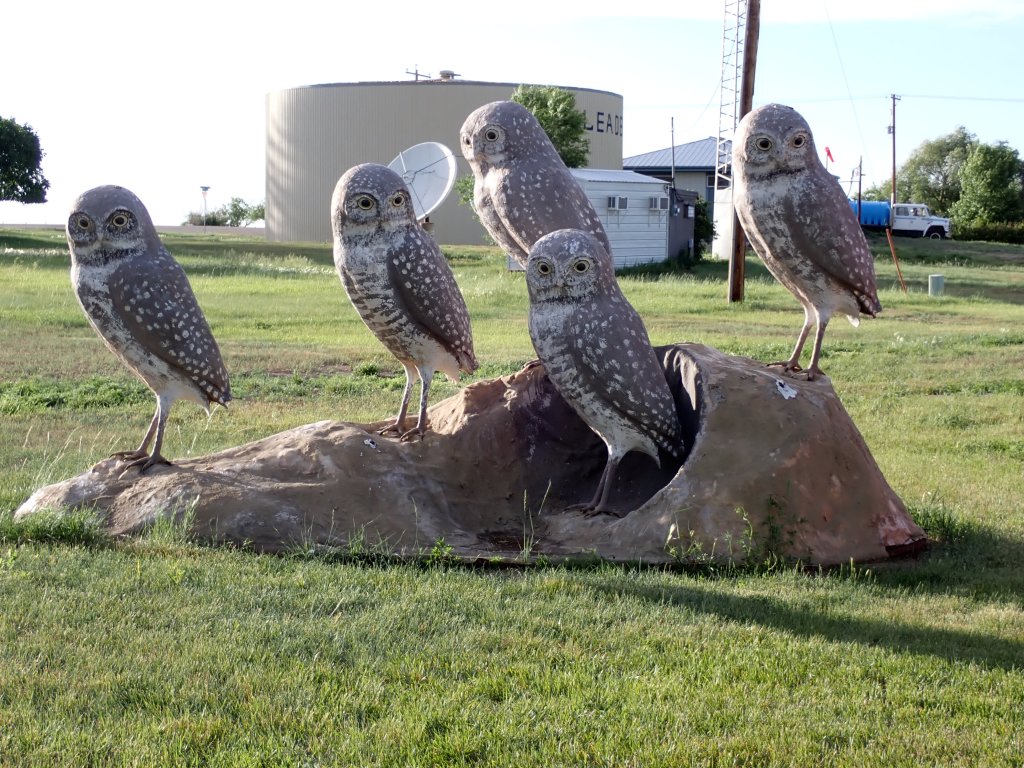
I returned to Leader and grabbed gas before checking in at Motel 51. I made use of the squeegee to clean my windshield and windows a bit before paying! I grabbed a protein bar and my water bottle and took a walk around the town. I took the Larger than Life Self-Guided Wildlife Sculpture Audio Tour, which brings the listener around town , stopping at a handful of wildlife sculptures which were created by Ralph Berg and Grant McLaughlin in the between 1992 and 2009. Fairly brief audio portions, but interesting learning about some of the native species. I started at the one closest to the motel (Red Headed Woodpecker) and followed the route from there, finishing at the walking tour starting point which featured the tourist booth (a repurposed train car) as well as a massive Muskoka chair. Pretty nice walk and very informative tour. The tour route was a bit inaccurate though – the Sturgeon sculpture was actually located at 1st St W, across the street from Canada Post, and the Burrowing Owl (my favorite) sculpture was by the Tourist booth rather than near the hospital.

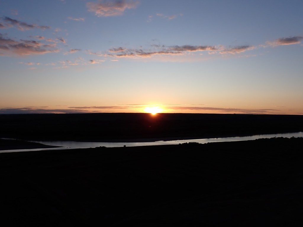
After a quick rest back at the motel, I headed out to Checkerboard Hill, about a 20 min drive NW of Leader. This area offers a great view of the South Saskatchewan River. I opted to head up and catch the sunset and it did not disappoint. After a short time enjoying the views, I made my way back to Leader and went to bed shortly thereafter.
Day 5
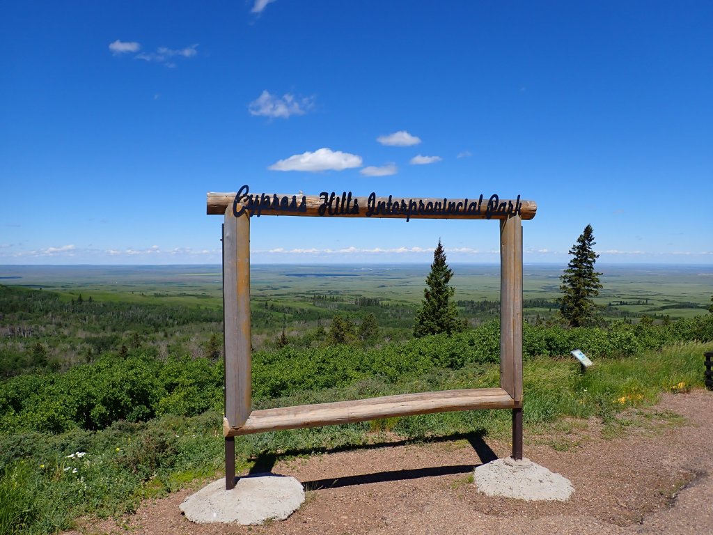
My next stop was Cypress Hills, where the Saskatchewan high point is located. I had a campsite booked in the Center Block (Terrace, Site T73) in the Saskatchewan side of the interprovincial park (part of it lies in Alberta) but did not have my park pass yet (it requires a license plate number, which I had to wait until I had my actual vehicle). I guess I could have paid for my pass after getting the rental, but no matter – I planned to depart Leader and arrive at the park office right when it opened to maximize my time exploring that day. The office opens at 11am, so I left at 9:30am, giving me plenty of time to relax in the morning and take my time heading over.
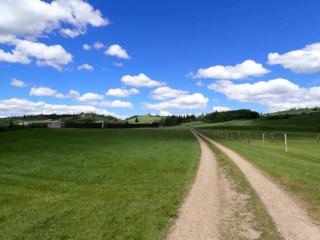
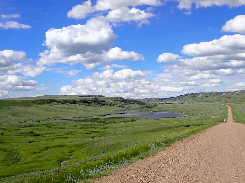
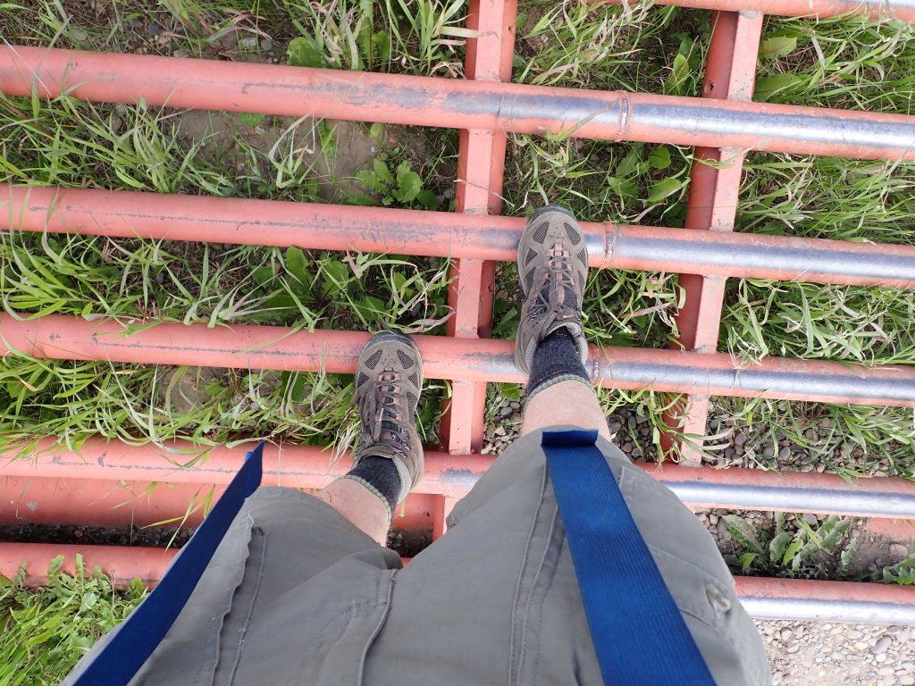
The drive was smooth and I got to the park with little difficulty. I quickly made my way to my campsite and set up my bivy (staking my tarp over top so it wouldn’t blow away) and immediately made my way over to Fort Walsh to hike the Battle Creek Loop. The drive took me on tons of weird back roads (some of which weren’t even on Google!) as well as crossing several dozen Texas Gates (used to keep cattle and other bovine species out of certain areas).
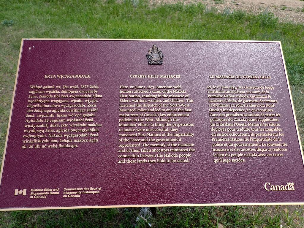
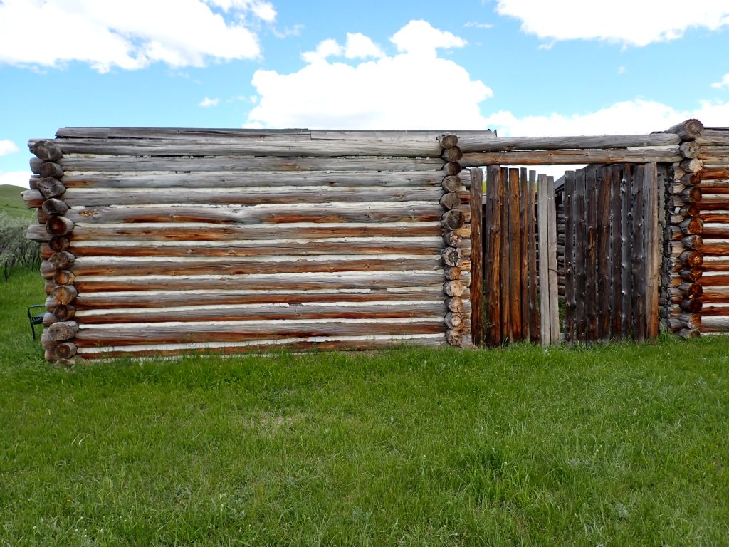
Fort Walsh is a National Historic Site of Canada and consists of a decommissioned fort built by its namesake, James Morrow Walsh, that was built in 1875 to help protect the border with the US and target the illegal whiskey trade. It came about not long after the Cypress Hills Massacre in June 1873, in which a group of Assiniboine (First Nations) natives of the land were attacked by a group consisting of American wolf and bison hunters, Canadian and American whiskey traders, and Métis cargo haulers over allegations of the Assiniboine stealing horses. Tragically, over 13 of the Assiniboine were killed in the confrontation. This event catalyzed the development of the North-West Mounted Police (NWMP), who ultimately took up residence at Fort Walsh to help keep the peace and pursue justice against the perpetrators of the massacre.
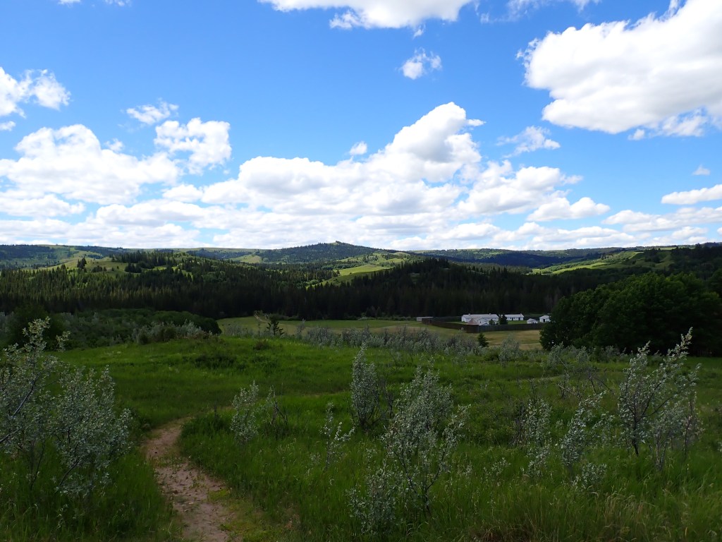
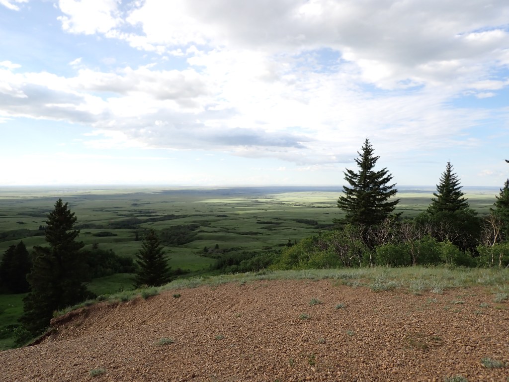
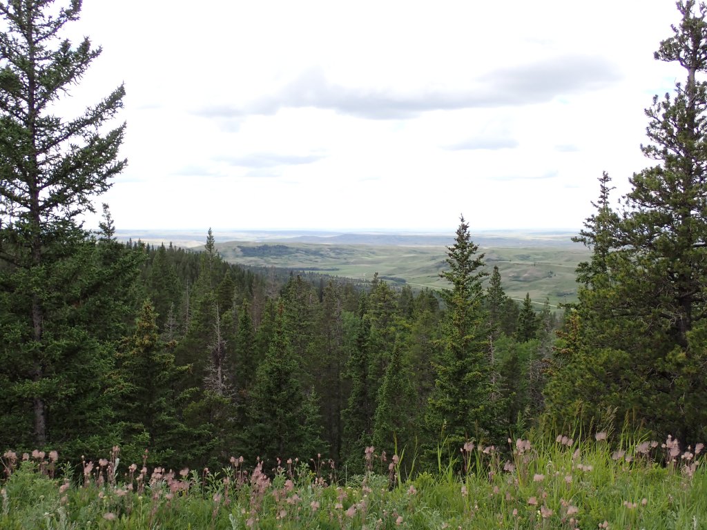
The Battle Creek trail offered lots of great views and historical artifacts visible along the trail, including Fort Walsh itself, as well as the camp where the massacre took place. There were plenty of great views of the Cypress Hills and though it wasn’t a challenging hike compared to what I was used to, it was very enjoyable! I had planned to cook lunch on my stove on the trail, but forgot the ingredients for the meal, whoops!
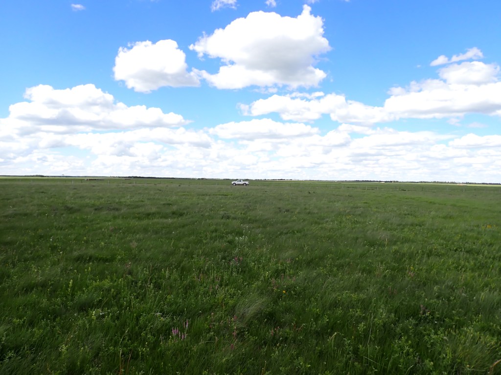
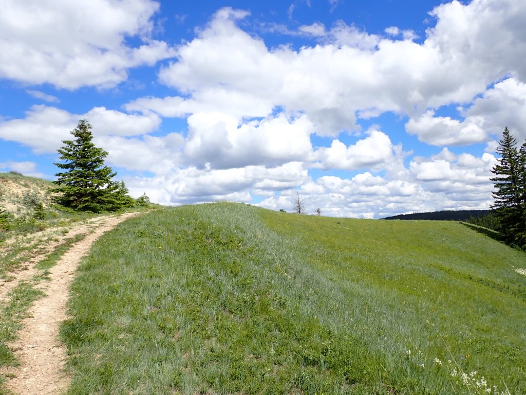
After completing the Battle Creek trail, I planned to go up to the Saskatchewan High Point. It’s probably the least exciting/prominent Canadian high point other than the PEI high point, situated in the middle of a cow field less than 1.5 kilometers from the Alberta-Saskatchewan border in the middle of nowhere. FATMAP actually shows a trail (South Benson) winding its way south from the Cypress Hills West Block campground area (a 15km round trip), but every single trip report I could find indicated that they drove the gravel road (either from Alberta or Saskatchewan) until lined up approximately even in longitude, then ducking under a barbed wire fence and walking about 175 meters to a set of coordinates. I was really tempted to try the Benson trail, but decided against it, since it was so unproven.

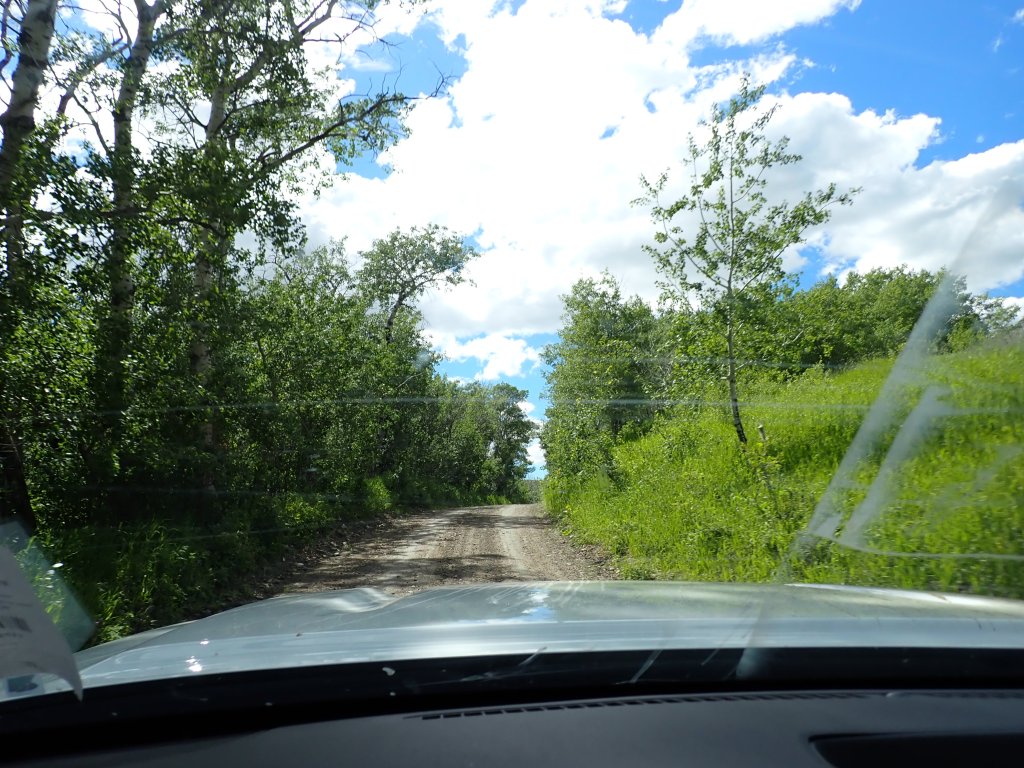
Navigating to the high point was quite challenging. I quickly learned that Google Maps is not a good navigation tool in the Cypress Hills, as it would try to send me down roads that were closed or only for hunters (I learned this while heading to Fort Walsh as well, though it was a very scenic drive!). I eventually found my way to the road and had no difficulties finding the pull off spot. There were tons of gophers all over the place (was stressful trying to avoid running any over) and I even saw a coyote! This road is also apparently quite nasty to drive on when wet, thankfully it had been pretty dry, and I had 4WD so I was good to go.
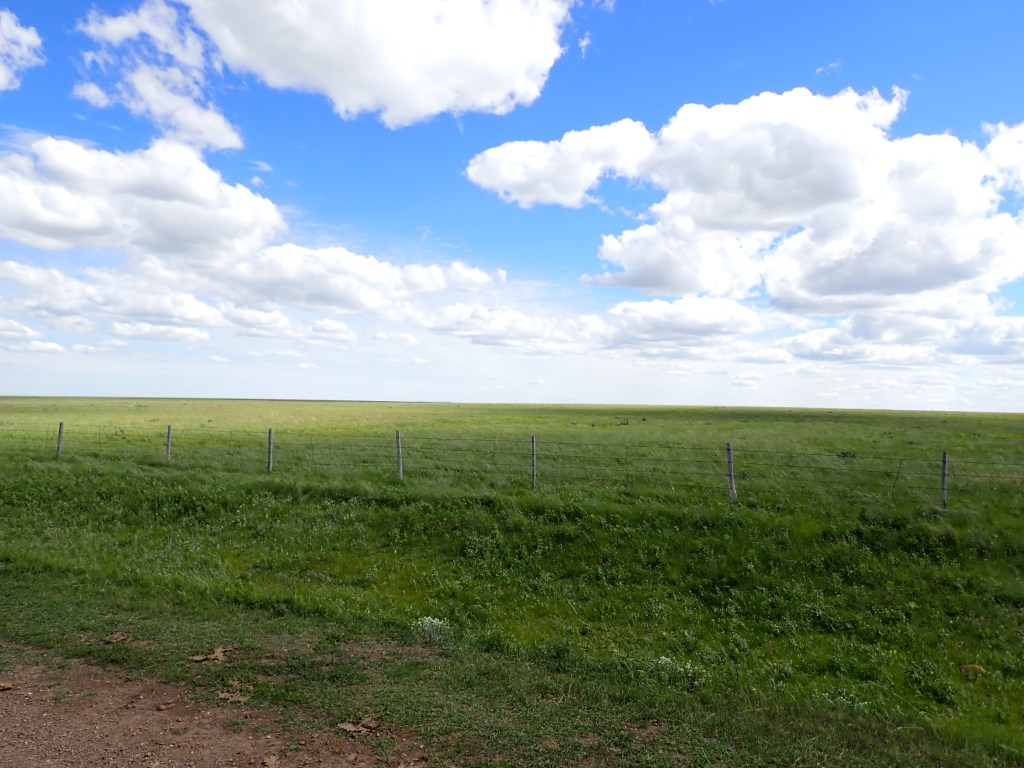
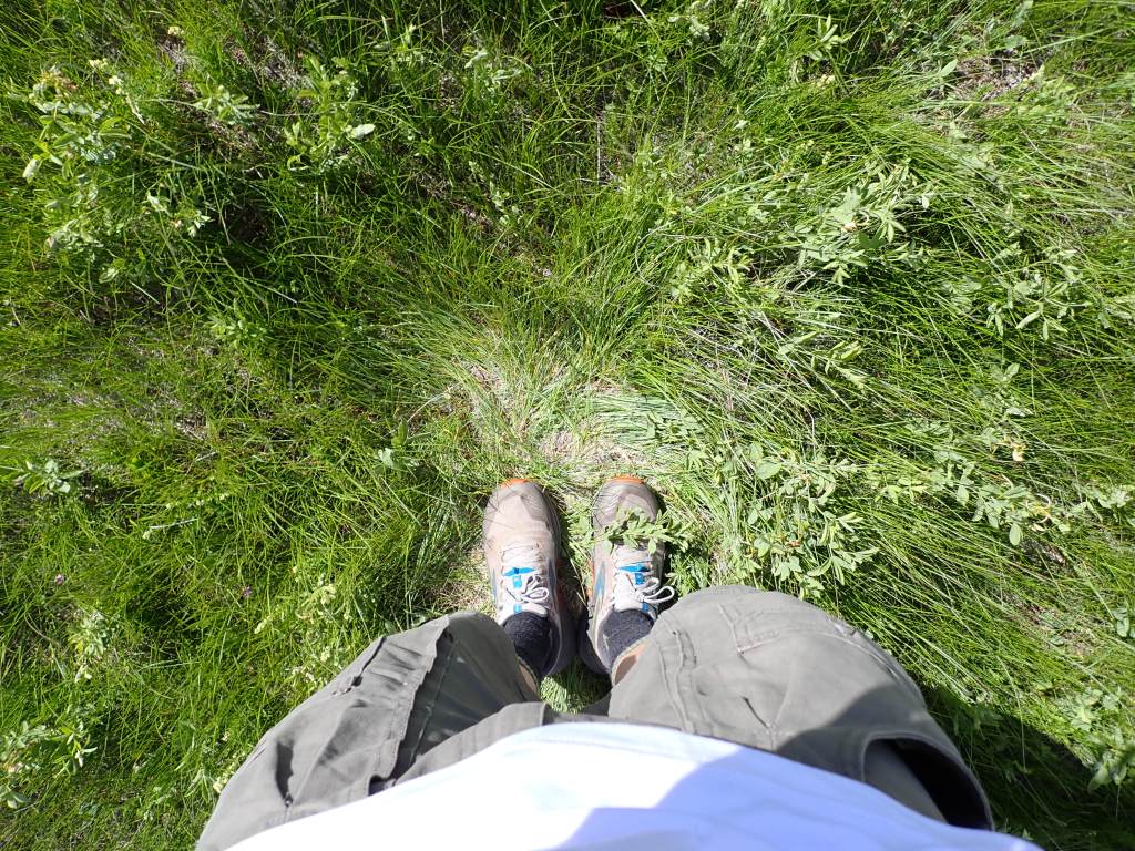
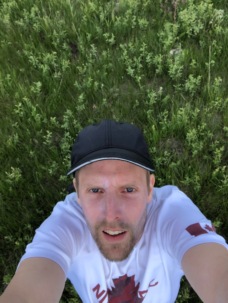
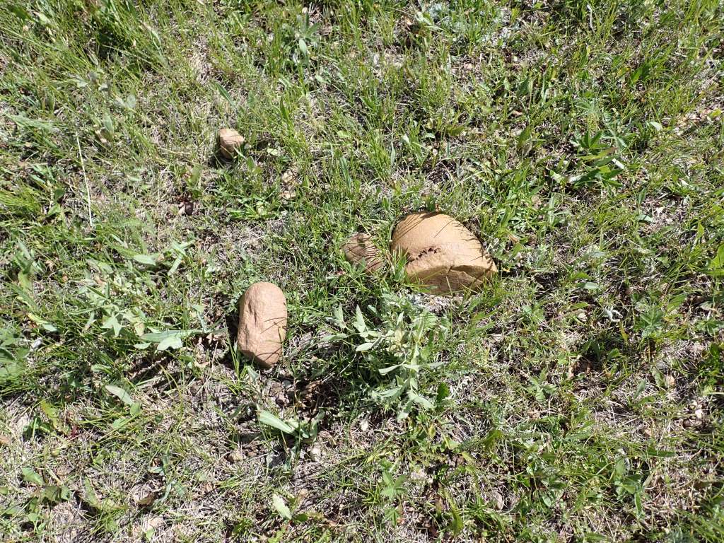
Since the high point is technically on private property, I made my stop quick, ducking under the fence and jogging to the approximate coordinates, marking my sixth Canadian high point! At 1392m (4567ft), this marked the highest of the Canadian High Points I had completed thus far. I snapped a few photos then quickly returned to the car. I did notice on my way out some rocks scattered near the fence which looked very much like the rocks that had been used to create the old summit sign by Adam Lingenfelter back in 2016 (a great idea to put one up as there is no sign or survey marker denoting the high point – even PEI had one!). Adam’s sign was likely dismantled by the disgruntled land owner, fed up with peakbaggers.
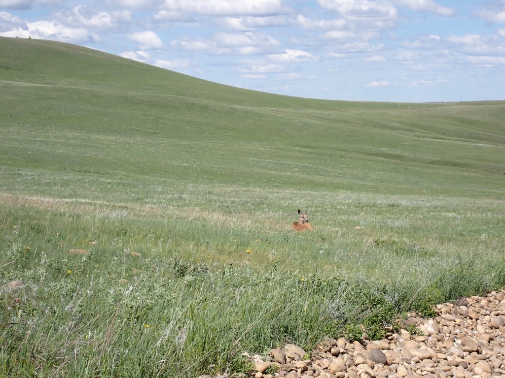
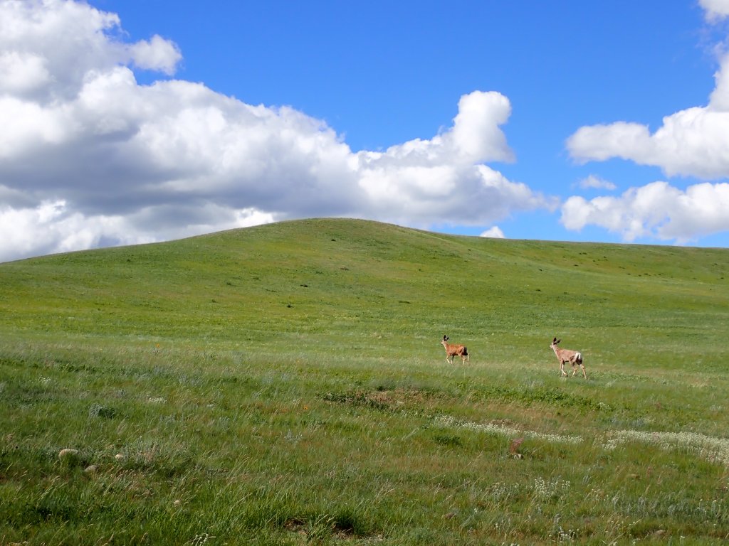
The drive back to the Terrace campground was incredibly long and frustrating, as I fell victim to more Google Maps shenanigans. I aimed to stop at Bald Butte, a viewpoint close to the campground, for dinner and catch the sunset, and Google suggested a route that went directly there, heading east through the park from SK-271. I got within a mile of Bald Butte before being forced to turn around – I was on a farm! I did see a couple deer on the way so not all bad news.
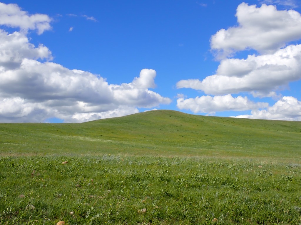
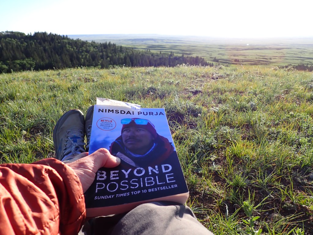
I ended up heading back through Maple Creek (north of the park) to return to the campsite , and grabbed gas on the way. Bald Butte was a pretty trivial hike, but did have some great views. I planned to sit outside and wait until sunset, but I had arrived three hours early, so I ended up relaxing in the car and reading my book after eating dinner. Cypress Hills Interprovincial Park is fairly high in elevation – Bald Butte is 1218m (3996ft) above sea level, which almost makes it eligible for an ADK High Peak!
Sunset was not the greatest (quite a bit of cloud) but it was a fine way to finish the day. I headed back to my site and (tried to) settle in my bivy for the night.
Battle Creek GPS Track
Saskatchewan High Point GPS Track (started watch late)
Day 6
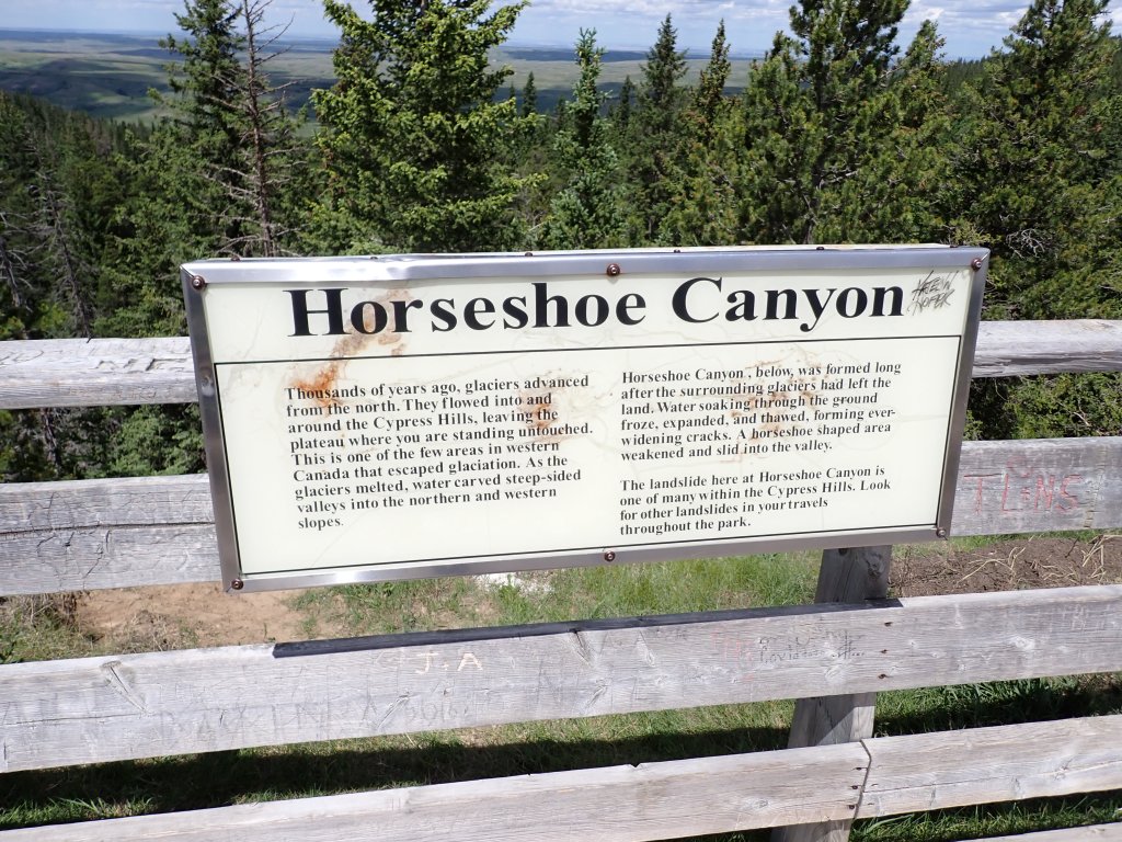
I decided for my second (and last) full day in the Cypress Hills to venture over to the Alberta side of the interprovincial park and do some hiking there! I had actually discovered a nice loop hike (Beaver Creek + Horseshoe Canyon) when researching hikes in Cypress, and only after arriving in Saskatchewan I realized this loop was out of Elkwater, Alberta! Upon closer examination, the Alberta side has tons of great hiking options, more so than either of the Saskatchewan blocks, cementing my decision to make a day trip over there.
It was a pretty smooth drive with great views along the way, along with some highly saline bodies of water beside the highway, which was quite curious. Elkwater is a cute little town which is unincorporated, which means that the land is managed by the Alberta government and the cottage owners do not own the land. The vast majority of people in Elkwater are staying temporarily at the provincial park.
I stopped by the visitor center and, with some feedback from the friendly staff member at the desk, decided to modify my hike slightly. I would still take the Horseshoe Canyon trail on my return (descending) to my car, but instead take the slightly more difficult Mitchell Creek trail out (ascending). In addition, I realized that the Cypress Hills high point (about 76m higher than the Saskatchewan high point) was just a short 1 mile (one-way) detour off this route, so I decided to add that on to my hike for the hell of it.
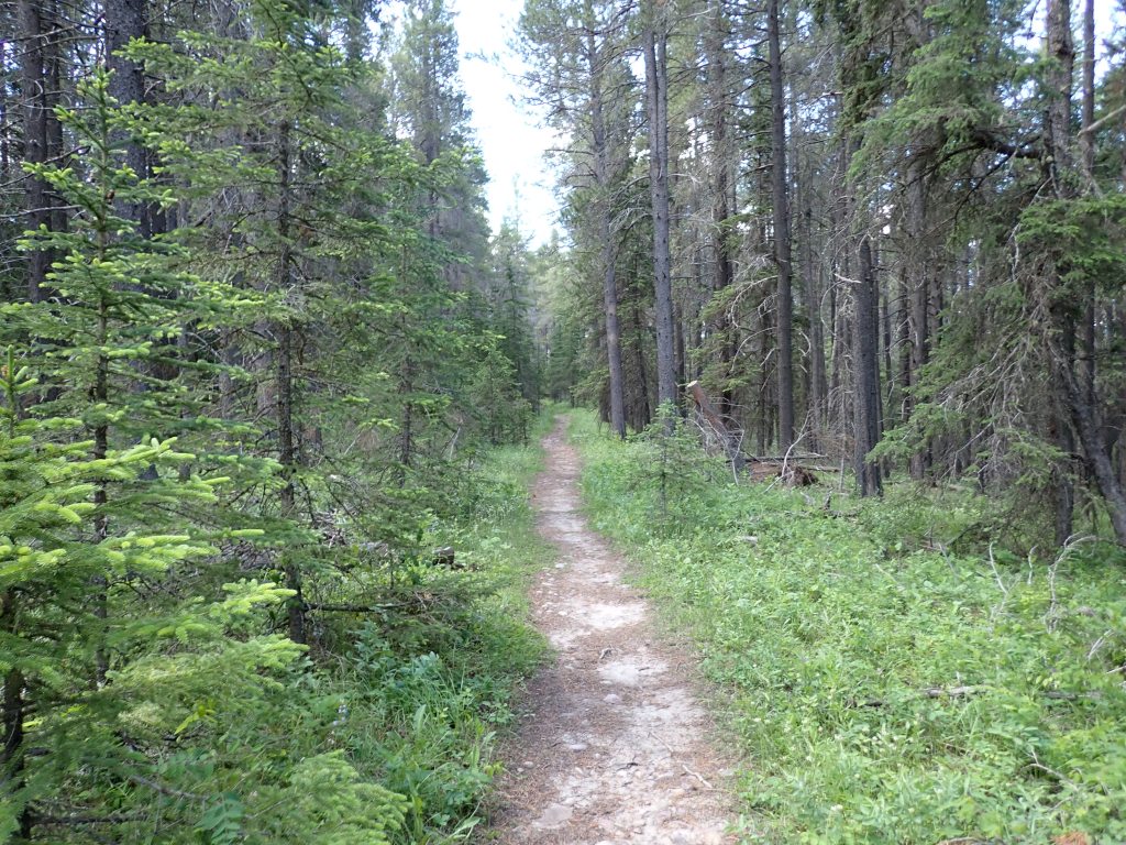
I parked at the Beaver Creek campground, and started hiking. The Mitchell Creek trail was billed as difficult, but was not too much of a challenge as I worked my way through the forest. Very peaceful hike – I didn’t see anyone else on this trail. I made sure to liberally apply bug spray periodically during this section! After a quick stop at the 5km mark for a snack, I carried on along the Plateau trail until I reached the Horseshoe Canyon view point. I saw a few mountain bikers on the trail – this looks like a fantastic place for trail riding!
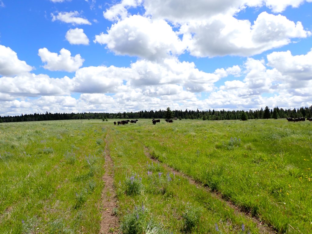
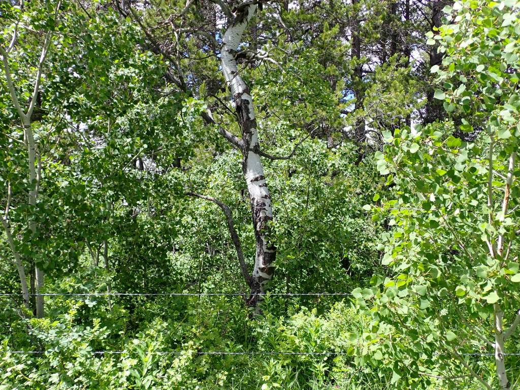
The view point wasn’t super exciting, and I set off along the gravel road westward towards the Cypress Hills high point. I had to walk over a few Texas gates along the way. According to the GPS coordinates, the high point is situated in a birch grove near the end of an overgrown road branching off from the gravel road. I made quick work of the gravel road, and was greeted by a herd of cows as I started up the side road. I took my time to avoid spooking them too much (luckily they were all docile – no bulls!), and eventually left the road and bushwhacked through the field towards the birch grove.
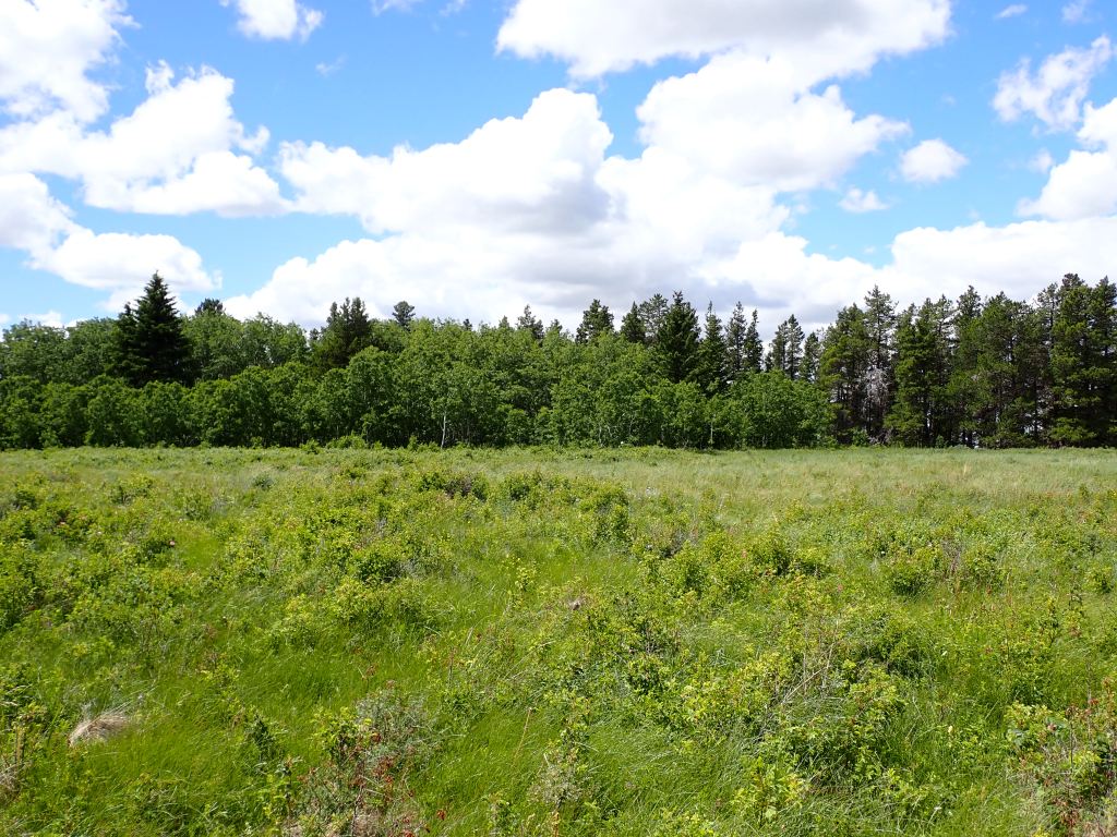
My legs got pretty scratched up along the way (fortunately no poison ivy!), and the high point was even less exciting than the Saskatchewan high point. After walking a bit to approximately line myself up with the GPS coordinates marking the high point at 1468m, I took off through the field and reconnected with the gravel road. All in, about an hour detour.
After a stop at the Horseshoe Canyon trailhead to cook myself lunch, I set off down the trail and made good time back to the car. Pretty enjoyable hike with some great views as I approached Elkwater. Luckily I did not see any cougars (mountain lions) here – it’s pretty rare to see them but they are pretty scary – probably more so than bears!). All in, it was a four hour hike car to car, having travelled about 16km.
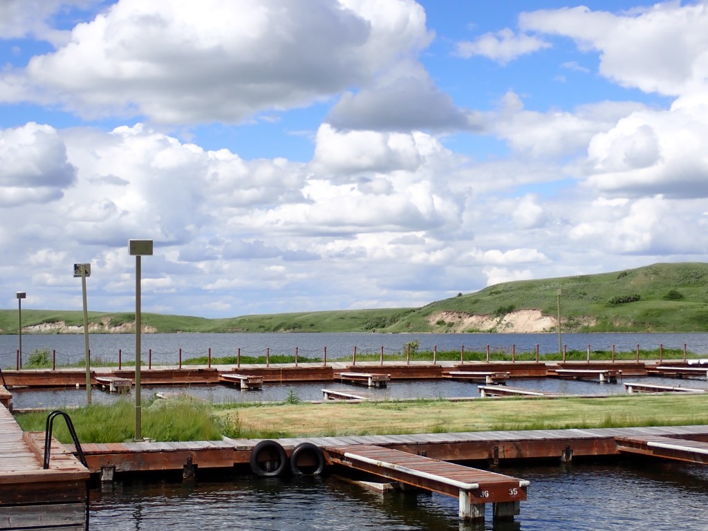
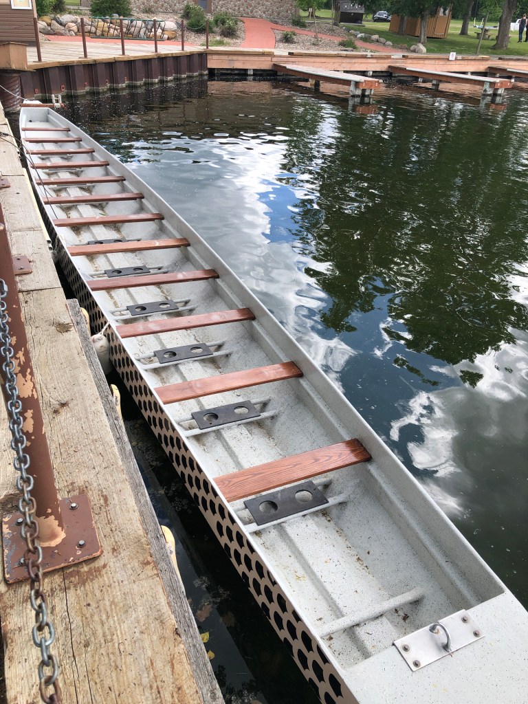
After returning to the car, I drove down to the beach/marina area and walked around a bit, taking notice of the very odd looking dragon boats that were moored there. The beach was pretty nasty with all the goose poop, and there were warnings for swimmer’s itch present. That didn’t stop me from jumping in the frigid lake to cool off, and I immediately took a shower back at the Beaver Creek campground. I then headed back to Saskatchewan, and went to bed shortly thereafter.
Mitchell Creek / Plateau / Horseshoe Valley + Cypress Hills High Point GPS Track

2 thoughts on “Saskatchewan 2023 Part 2: Great Sand Hills & Cypress Hills”