This is Part 2 of my trip to Europe in August/September of 2024. You can check out Part 1, where I attempted a summit of Pico de Aneto (the highest mountain in the Pyrenees) here.
Very tragic coincidence – on the day I published this post, an article (translated on Reddit here) was published regarding the death of a missing climber on Aneto. He was apparently found near the lower Coronas Lake, where I had bivvied on my Aneto attempt. RIP!
Days 6-9 – Exploring the Hautes-Pyrenees Area
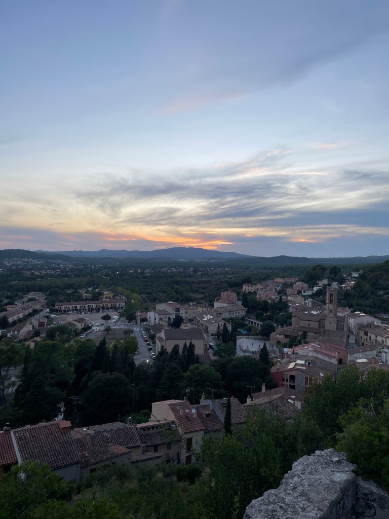
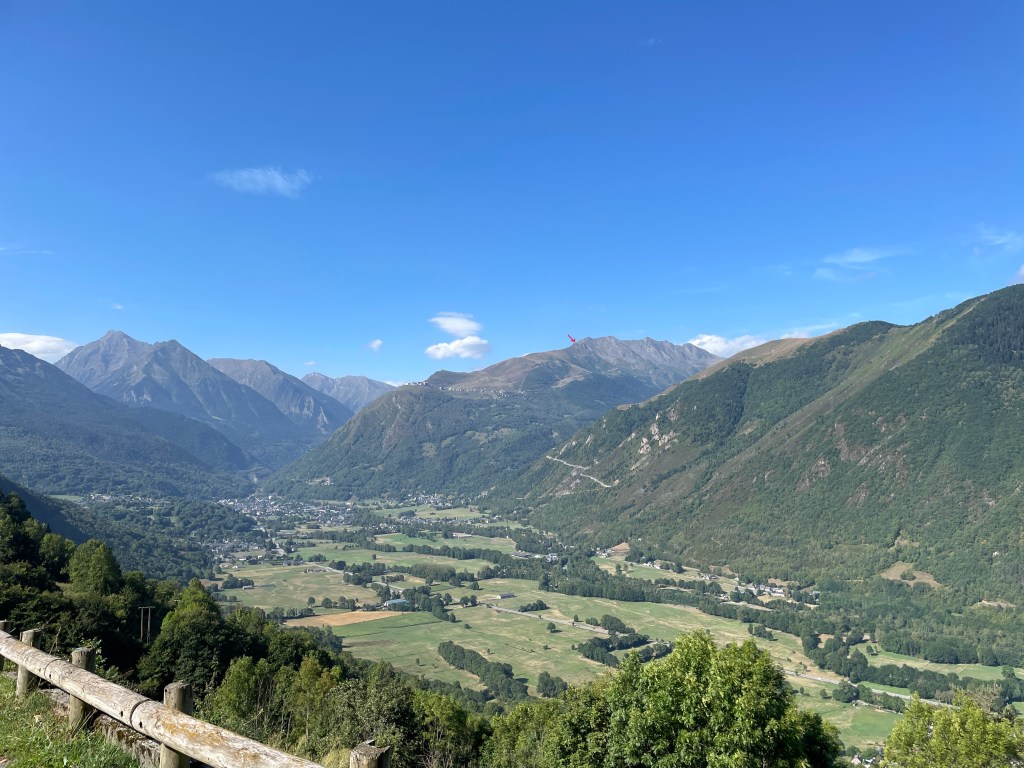
After Aneto, I stayed close to Grailhen and did a couple local hikes. As it turned out, Julien was reluctant to do any more mountaineering that week as the weather would not be optimal, so even if I was physically up for another demanding technical objective, it wouldn’t have been possible. However, the mornings looked pretty good all week, so I opted to do half day hikes.
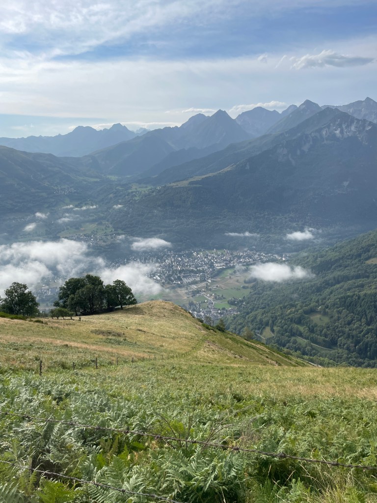
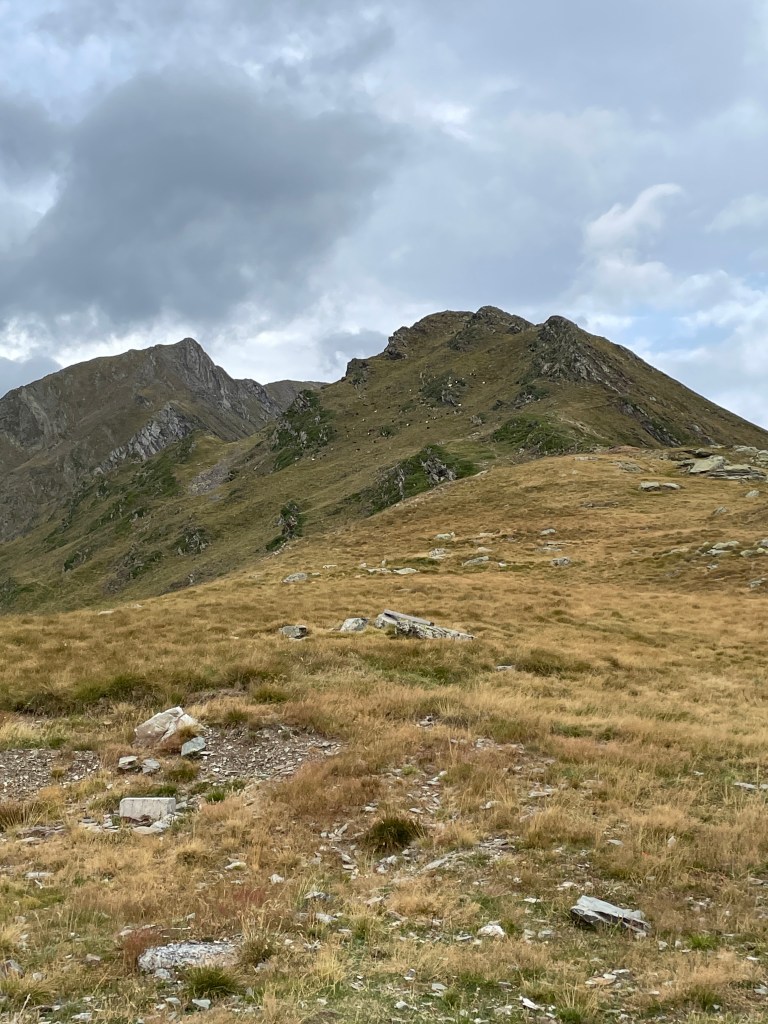
Two days after the Aneto attempt, I drove over to the other side of the valley to Vielle-Aure, where the finish line of the “Grand Raid des Pyrenees” trail race was located, and did a three hour hike up to the top of the hill to the west (a summit called Cap de Pede, at 1634m, is located here). For this hike I wore my trail shoes (with the brace of course) as my boots really bothered me for Aneto, especially on the downhill. After parking, I began a steady climb to the top, stopping a couple times for a water break. It was definitely a bit of a strain on my ankle, but eventually I was rewarded with beautiful views of many neighbouring peaks and towns once I got above the clouds, along with a pleasant walk along the ridge. It was surprisingly hot given how early it was in the morning.
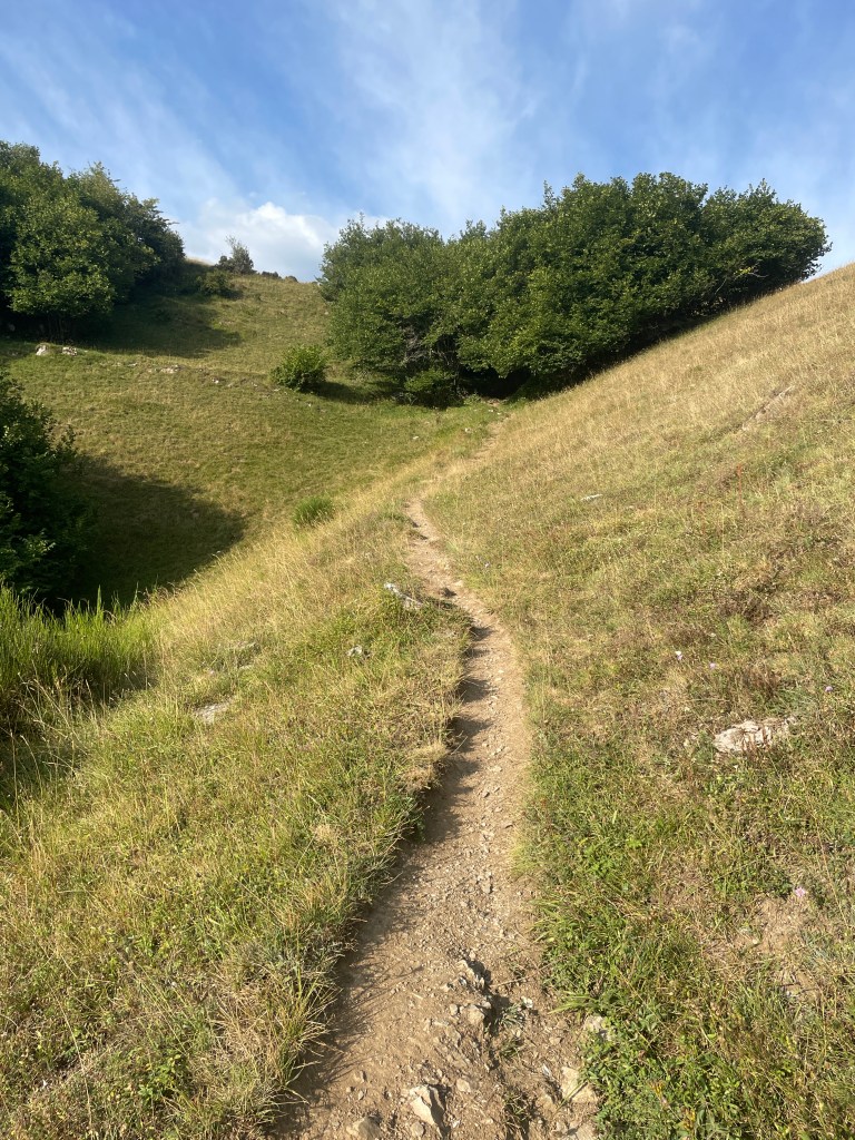
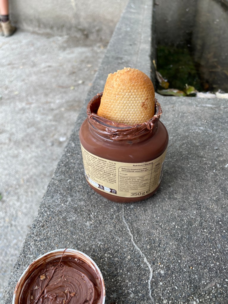
After a long stretch on the ridge (topping out at around 1645 meters which was higher than the Cap de Pede summit), I began descending back towards Vielle-Aure. The first part of the descent was a bit slow as the terrain was rough, but eventually got to a good place to eat and refuel. This involved dipping baguette into a jar of Nutella, which I’m sure the French would disapprove of.
The next part of the hike down was honestly the most fun. The trail, while steep, was fairly even, which enabled me to jog lightly for a good stretch, which did not cause me too much discomfort to my ankle. I was able to make it back to my car safe and sound, and upon returning I assisted my great uncle with collecting elder berries from the tree in their yard.
Cap de Pede Loop (Training Peaks)
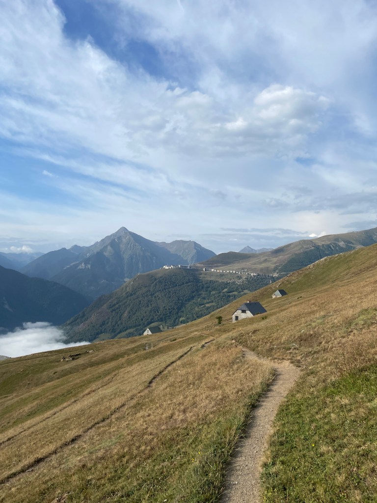
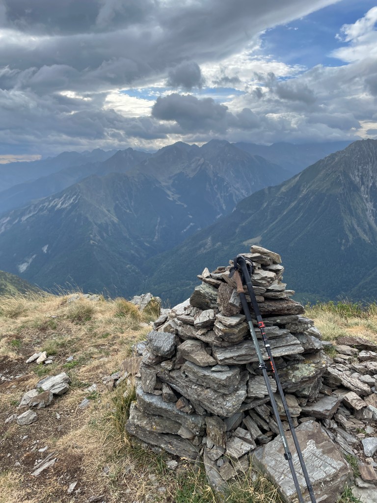
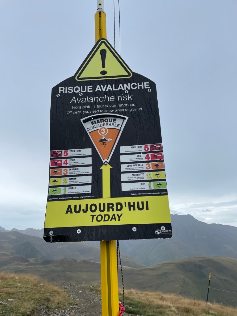
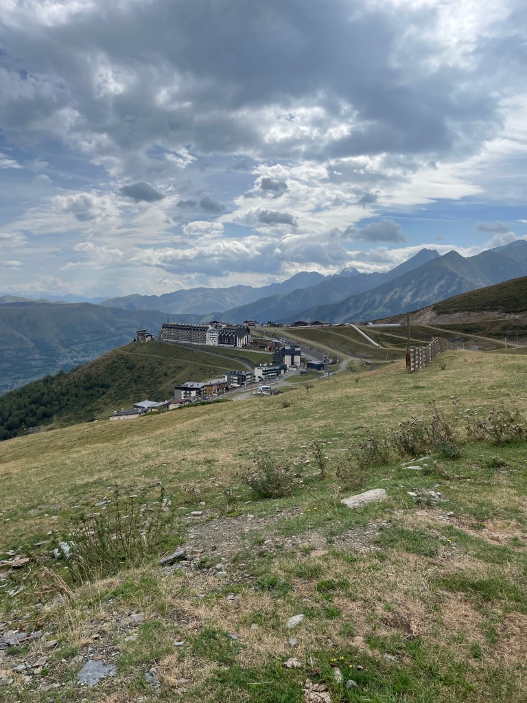
Two days later (I took a rest day after my Cap de Pede hike and spent a TON of time working on a puzzle with my great-aunt and great-uncle) I went back out for another morning hike, this time to Pla D’Adet, which is situated about 750 meters above St Lary-Soulan, and is home to a ski resort. I obviously wasn’t going to ski, but I did notice it was a good place for a hike, and beyond the resort there is a summit, Soum de Matte, which is at about 2362m. Soum de Matte is actually the first of several peaks along a ridge line, and you can walk the entire ridge, but that terrain is very exposed and I did not want to do it solo. I did, however, notice in a trip report that the second peak, Pic D’Arrouye (2533m), is fairly manageable and appeared to only be Class 2, so I decided to see how things went ankle and weather wise. My route would begin at the ski resort and work its way up towards the Soum de Matte summit, possibly scrambling over to Pic D’Arrouye, before descending a longer, but less steep route (which is optimal).
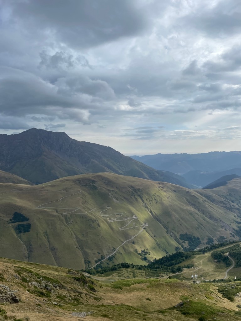
The day started off a bit chaotic. I mapped my route to Pla D’Adet in Google Maps, and didn’t review the route before going, thinking that it was obvious that Google would send me on the fully paved mountain road. Well, I was wrong. There is technically a second route, that takes “exactly” the same amount of time, which quickly turned into a narrow gravel road. Eventually the road became too steep and rough to continue, so I backed up in order to turn around. I didn’t realize that the car was heading to the side as well as behind, and the car became momentarily stuck, with the front left wheel not in contact with the ground, and the back right door contacting a wooden post. I was able to shimmy my way out somehow and turn around, but the car door did get dented a bit. I quickly determined the correct path on the mountain road, and navigated to Soulan then to Vieille-Aure, and from there was able to get to Pla D’Adet with no further issues.

Pla D’Adet is a neat little town and was definitely still busy with the mountain biking scene in the summer. I parked at the north of the town at about 1650m and hit the trail at 8:30am. It took exactly an hour to reach the highest point the chairlift system reached (2200m), which involved taking some gravel roads, other “trails”, as well as some off-pathing under a chairlift. Some fairly steep terrain, but pretty enjoyable.
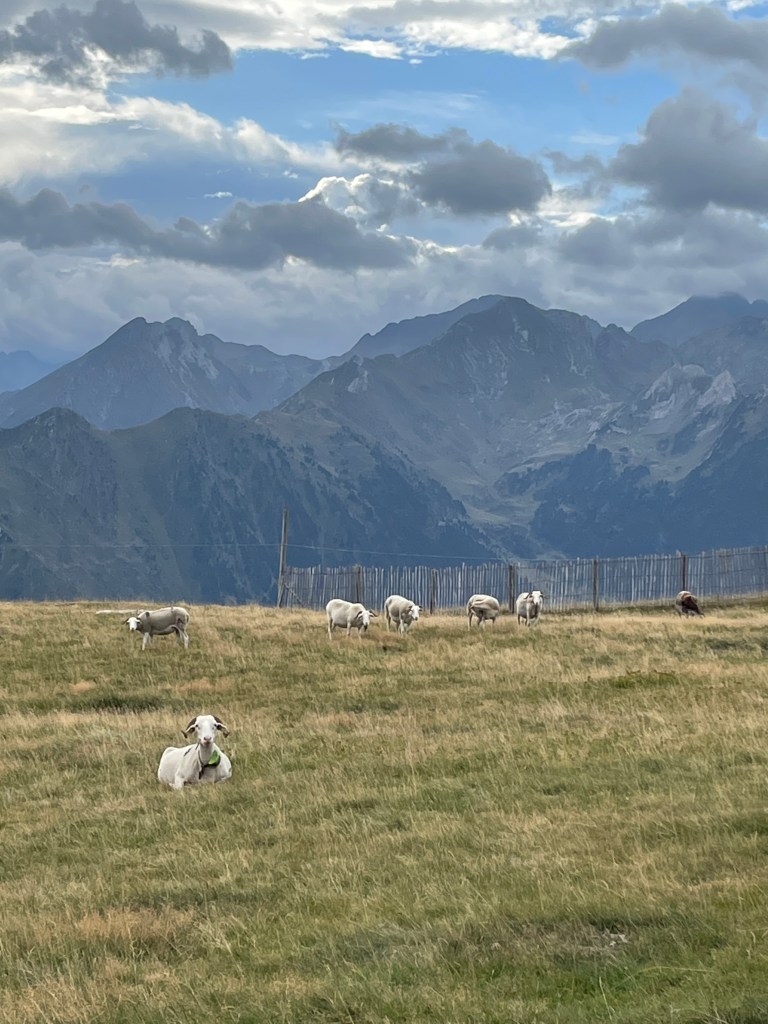
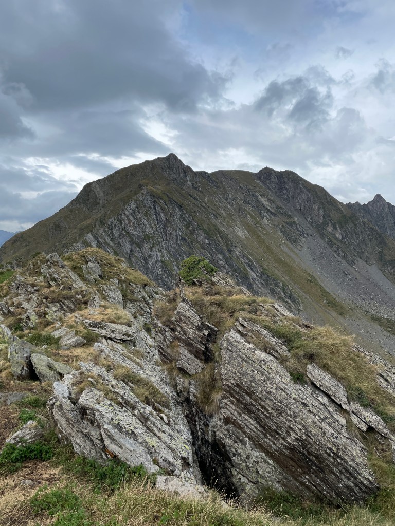
From there, it was about 25 mins (including a short break) to the summit of Soum de Matte. It got pretty windy for this section and the trail became a bit more rugged, but not too bad. A herd of goats was hanging out just off the trail and luckily I did not have to contend with them.
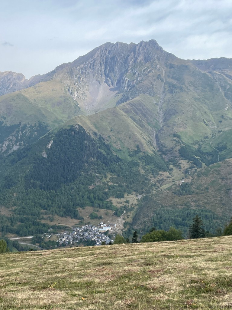
At the summit I downed the remainder of my baguette (it was a bit stale at this point) and decided, despite the wind and the dark clouds, to push onwards along the ridge towards Pic D’Arrouye. I decided that as soon as it started raining or the terrain became too tricky given my ankle, I would turn around. There was a bit of a path to follow but it disappeared periodically, requiring a lot of route finding. The terrain was a bit trickier to navigate but I didn’t really need to use my hands much. About 2/3 of the way to Pic D’Arrouye, I was presented with a fairly steep slope, and started to work my way up. It was slow going and it was at this point a light drizzle began to fall. Thus, I decided to call it a day and turn around, carefully making my way down the now slick steep slope (I was about 2/3 of the way up it). At the bottom of the slope I found a nice smooth trail passing just south and below the ridge line, and happily took advantage of the easy travel.
Eventually I had to off-path it a bit to reconnect with the ski resort, and encountered two herds of sheep and goats at the top of the chairlift, probably taking a bit of shelter from the rain. I then began my descent. At this point, naturally, it stopped raining and the sun came out, but I was happy with what I had done and didn’t even entertain the idea of heading back to Pic D’Arrouye.
The descent was pretty quick. I took a longer, more gradual path down, which brought me down some mountain bike trails at the north of the resort. I did have to quickly react when a few mountain bikers came roaring down behind me. My ankle was pretty sore at this point so I focused on stepping carefully, but still made good time back to the car, finishing my hike in just under four hours.
After returning to Grailhen, my parents and I continued to work on a 1000 piece puzzle I had initially started with my great aunt and great uncle. It was quite the task. Afterwards we all went for dinner in town at a nice restaurant, with my parents and I covering the tab to thank my great aunt and great uncle for their hospitality.
Soum de Matte Hike (Training Peaks)
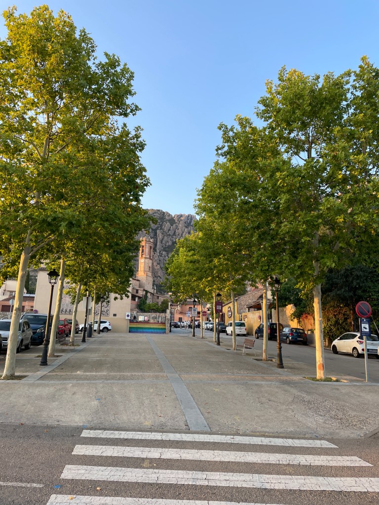
Days 10-12 – Back to Spain, Exploring Montserrat, Return Home
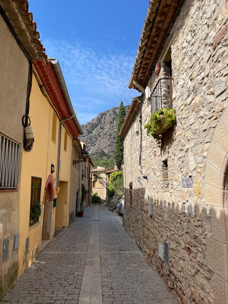
The last three (technically two since the third would be a travel day on the plane back to Canada) days I decided to head back towards Barcelona early and check out the surrounding area. I initially thought about exploring the city, then considered Montseny (to the northeast of Barcelona) before realizing that Montserrat (not the British territory) was on the way back to the airport, only 30-40 mins from the airport, and also was a solid (albeit touristy) place to hike. So I booked an AirBNB in Collbató on the southern slopes of the massif, and left Grailhen at around 11am. After struggling to get gas in Spain (got conflicting information by the gas station attendant, in combination with a language barrier), I arrived in Collbató and checked into my AirBNB. Pretty cool little town and apartment!
After chilling in my unit for a bit, I walked to the west part of town to get some food. The only place that appeared to be open was La Cassola, and there I had a vegetarian pizza.
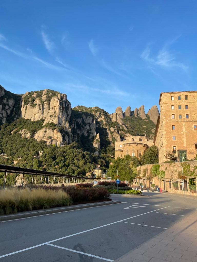
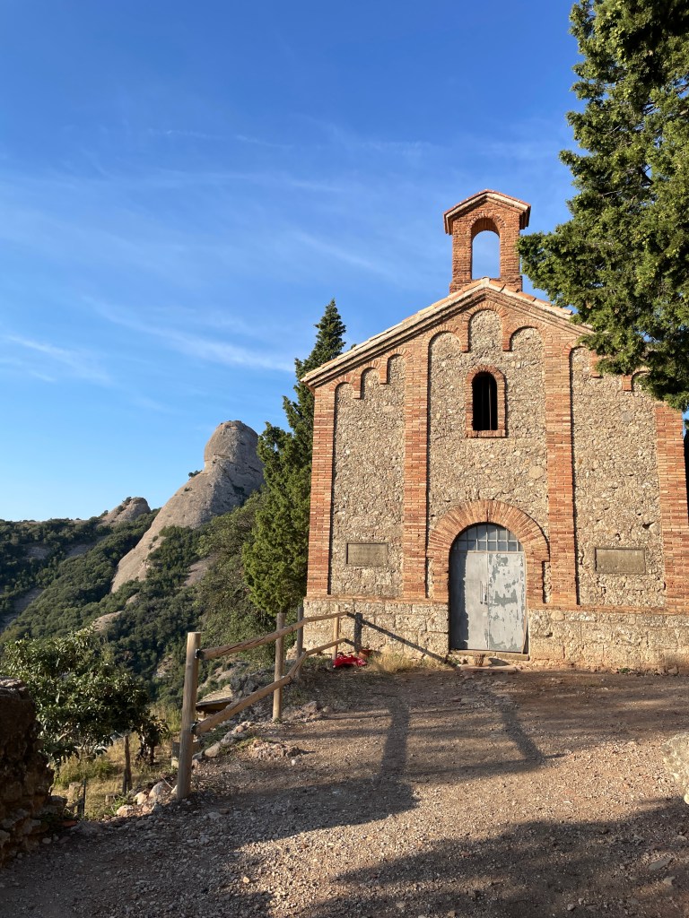
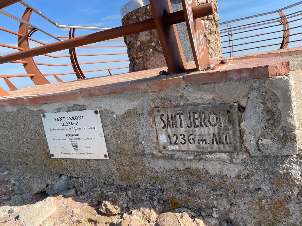
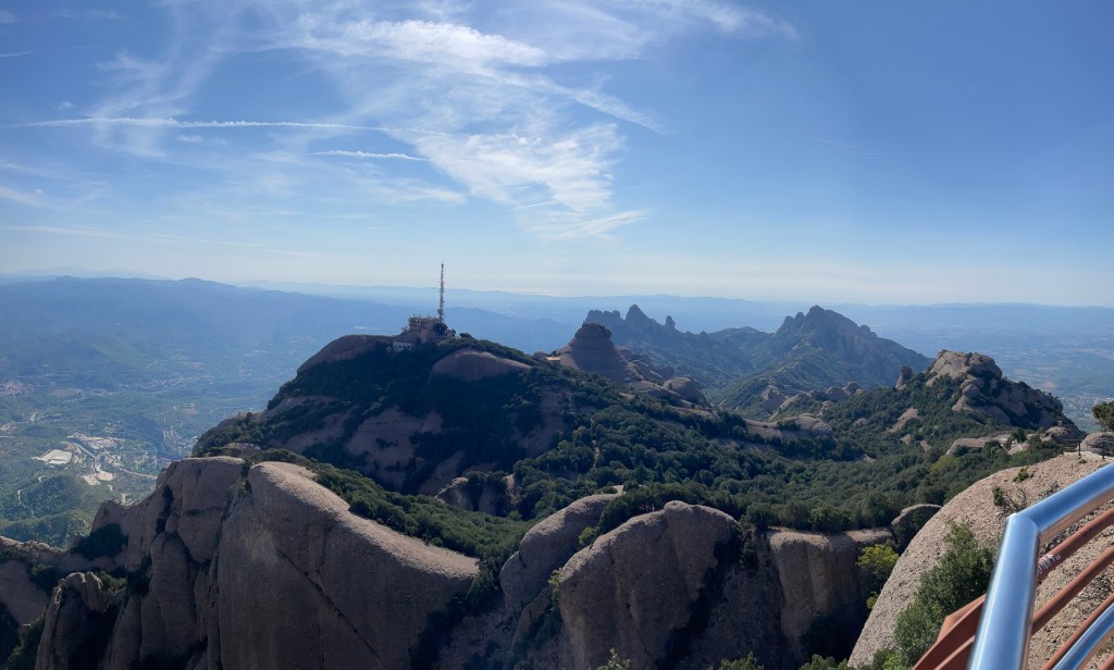
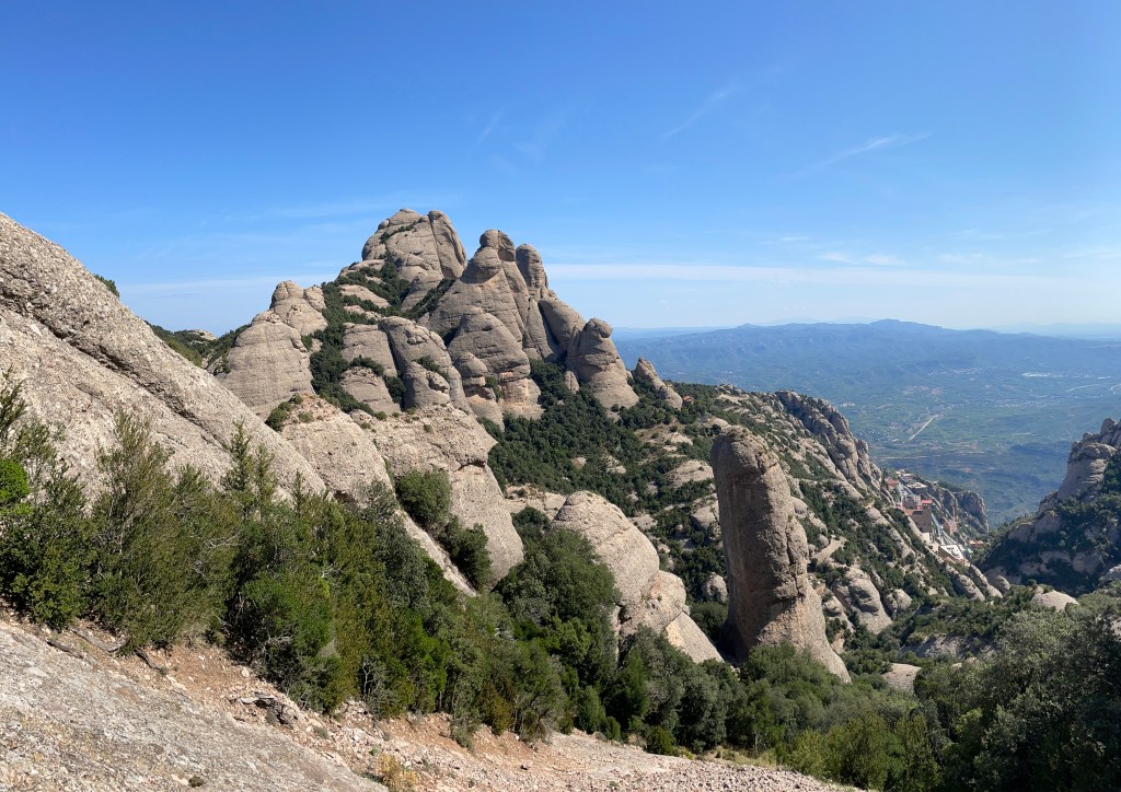
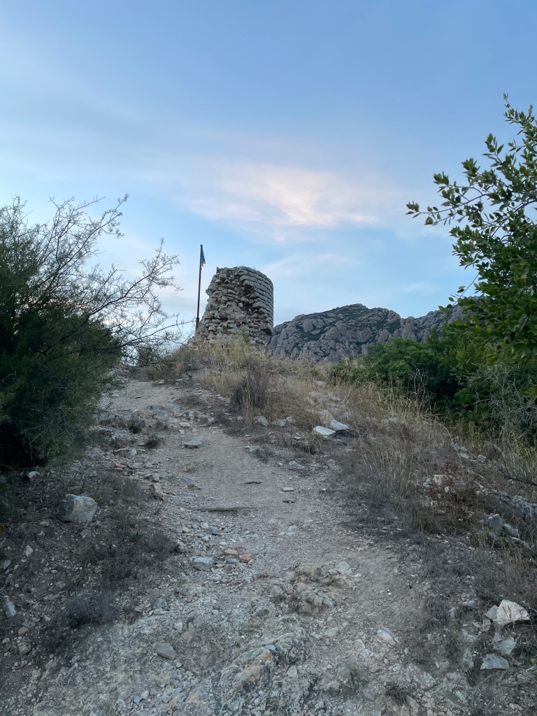
The next day, my last full day in Europe, I went for my final hike on the Montserrat massif. I drove to the parking area near the monastery and hiked up to Sant Jeroni (St. Jerome), the highest point on the massif. My route took a longer, more rugged trail up and intended to take the normal route down.
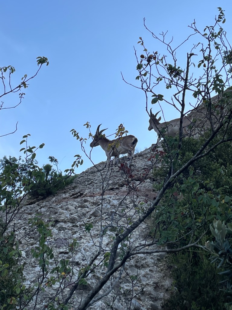
I took a few wrong turns here and there, but it was still a pretty fun hike up. I even encountered a couple of ibex on the rocks and they were quite a marvel to observe. One of them, unfortunately, had a gimpy hind leg which appeared to be either deformed or broken. It was still able to get around reasonably well.
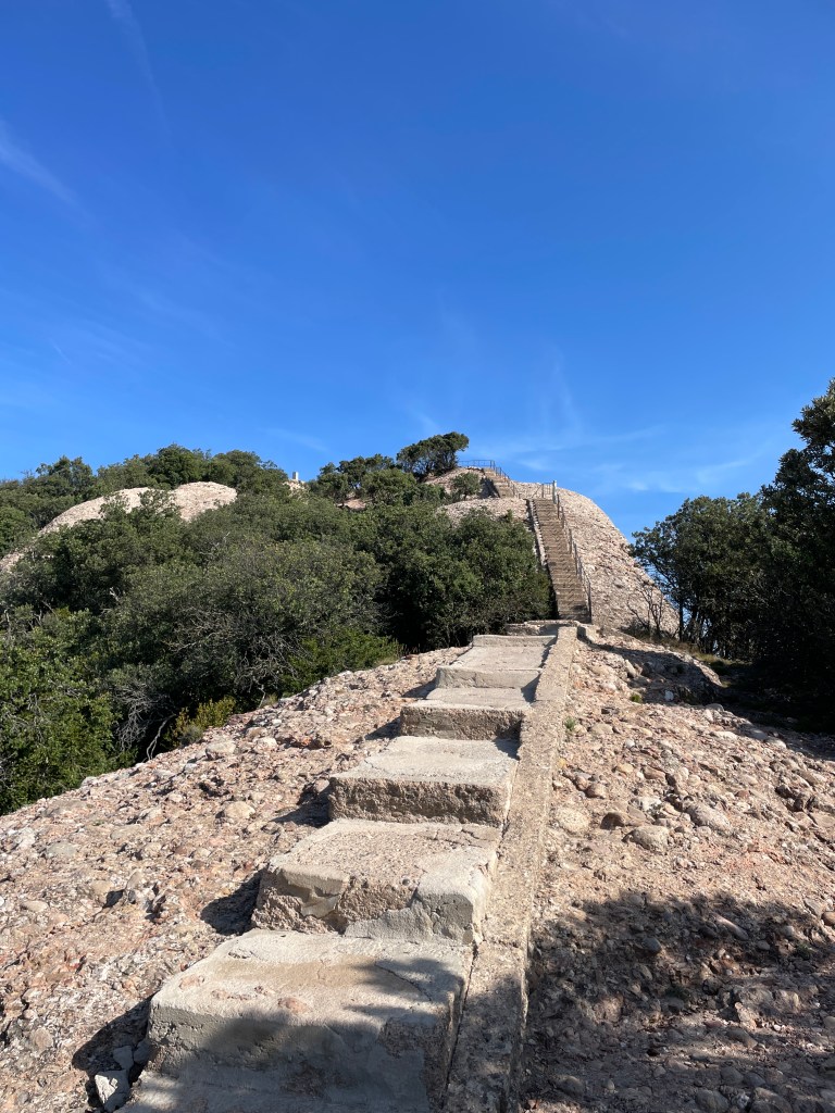
I got to Sant Jeroni after just over 2 hours of hiking. The last stretch before the summit featured a long staircase which really got my heart rate up. It was a really great day with excellent views. I spent about 40 mins on the summit, grabbing a snack and water, airing out my feet and socks, and reading a neat little book from the AirBNB, “Logic – A Very Short Introduction”. I probably won’t finish this book before I leave, but I might buy myself a copy when I get home. There’s a whole bunch of these “A Very Short Introduction” books out there, and I downloaded one on volcanoes on Audible that evening.
Quite a few people arrived at the summit when I was there and it got pretty busy, solidifying my decision to start early. I began my descent, and after letting one couple pass me who were quite close behind (I hate being rushed, especially with a bum ankle) it was quite a pleasant hike. Problem was that I was not on the trail I thought I was. I thought the couple was taking the main trail back to the monastery, but after checking FATMAP I realized they were actually heading to the Sant Joan Funicular (tram) which was southeast of the monastery. Despite the tram going to the monastery, I didn’t feel like paying, and identified a route that would reconnect me to the main trail that I intended to take. This route was a bit more rugged but still a lot of fun. I also chatted with a couple Spanish (okay one of them was adamantly Catalan) guys who were planning to climb one of the spires to the south. The rock climbing definitely looks interesting here.
I finished the hike (got back to the paved road) in just over four hours (3h 20 min if you exclude the break) and exactly ten kilometers. After heading down to the now bustling tourist area, I stopped in a souvenir shop and bought some Mediterranean sweets for my brother (thanks for looking after my cat), as well as buying some Catalan liquor for my duty free. I paid three euros to first do a tasting of the liquors, and ended up getting a bottle of two of the five flavours I tried – a herb liquor as well as a cream/egg one. Turns out I had overlooked the duty-free limit (which is 1.2L per person – each bottle was 0.75L) but didn’t run into any trouble other than packing it! I then grabbed a sandwich and Gatorade for lunch, which combined cost the same as one of the bottles of liquor, before paying for parking and making my way back to Collbató.
Sant Jeroni Hike (Training Peaks)
That evening, after meticulously packing my duffel bag (now including the liquor) and topping up on gas at the station in town, I checked out the remains of the Castell de Collbató (Collbató castle) which was a quick hike near the AirBNB. This castle dates back to the 10th century and was pretty run down, but a nice little piece of history to see before I departed. Fairly early to bed (planned to be up early to eat my remaining food and head to the airport early.
I was a bit late getting out the door the next day, which was only made worse by the fact that there was an accident on the highway into Barcelona, which turned a 35 minute drive into over an hour. Luckily I left with plenty of time to spare and was able to get through airport security 3 hours before my departure. I unfortunately had to fork over about 200 Euros for the damage to the car, which was less than what I was expecting. At the airport, I had a quick bite and a coffee, and also bought a French copy of the Hunger Games prequel novel. I wanted to read that book and figured since I want to be bilingual before the next family reunion in France, might as well read it in French. I’ll probably take a long time to read it as I’ll be reviewing vocabulary and grammar along the way. As it turned out, I got through only the first TWO pages on my flight.
The flight home was a bit better than my flight to Barcelona. The good was that I was not super exhausted and was able to keep myself busy with reading my book, listening to audiobooks and music, as well as play games on the entertainment system. I was very impressed with the system on the Boeing 777. The bad was that my seatmate (I was in exactly the same seat as my inbound flight) encroached on my space despite not being a big guy at all (he’s smaller than me), there was a crying baby directly behind me who was probably only a few weeks old, and the woman across the aisle would not stop coughing the whole flight. All that said, I made it home safe and sound.
Final Thoughts
Overall, not a terrible trip at all, but definitely a lot to be desired. I got to spend time with family and practice my French, and was able to put my ankle through quite a lot of loading and it held up. That said, very disappointing from a technical climbing/mountaineering perspective. I was really looking forward through both the ACC camp and this trip to really gain a lot of experience and skills in the mountains, and due to my injury I was very limited on both trips. The Aneto attempt was still a great experience despite the borderline Type 3 fun and not reaching the summit.
My goal now is to focus all my attention on bringing my ankle from 80% to 100%. I have lots of plans for the coming 6-7 months (including a ton of ski touring and other hiking/mountaineering objectives in the fall), and I really want to be in a position where my ankle can not be my Achilles heel (no pun intended) as well as resume training where I won’t be completely wiped at altitude. Stay tuned for more content in October and thank you for reading!