This trip was one that has been put off numerous times, but I was finally able to head over to Vermont to take on the state highpoint, Mount Mansfield, at 1340m (4395ft). I had initially planned to hike this in October, but I suffered a back strain, likely related to my ankle injury (after seeing a chiropractor, she noted that I was favouring my uninjured side). This trip would serve as some of the more strenuous training in preparation for my big alpine objective later in November.
My plan was to drive down to Vermont in the late afternoon on Friday, hike Mansfield on Saturday, do another hike on Sunday (possibly Camel’s Hump, another 4000 footer close by), then drive home late Sunday. My ankle, still not at 100% (main issue right now is flexibility and endurance) would continue to be protected with my trusty brace.
This was also my first trip into the backcountry without my trusty GPS app, Fatmap. Fatmap had been dissolved by Strava (which bought it over a year ago) and I spent some time thinking about what I would use for route planning. I settled on OnX Backcountry, which I was pleased to later find out is doing a good job incorporating ski routes as well (though still a bit limited). The OnX user interface is much smoother than Fatmap’s was, which is nice.
Travel to Vermont
I broke the trip to Vermont up a bit, mainly because it was still a work day and I wanted to ensure I finished up for the week. I was in Bowmanville (about 50 mins into the drive) for an examination in the morning, which wrapped up in the early afternoon. I then drove to the next ON Route in Port Hope and worked remotely on my laptop for a few hours using the wifi. Finally, around 4pm, I signed off and started the roughly 6 hour drive to my AirBNB in Williston, just east of the capital of Vermont, Burlington.
The drive was fairly uneventful, though my back was pretty sore from being in the car for long periods. Fortunately it was fine after stopping for dinner (and standing to eat!). My route to the border was very confusing, however. Google directed me to a crossing (St-Armand-Philipsburg) in the middle of nowhere down some really weird back roads, and the final stretch had signs which appeared to say “no entry”. Confused, I tried seeing if a side road would get me there, but that got me to a dead end. As I was turning around, a vehicle came up behind me and then swung around – it seemed at first it was another confused motorist. I then decided to try that road which looked closed, and realized it wasn’t. At that point, the vehicle behind me turned on his flashing lights – it was a police officer! I calmly explained my confusion, and he completely understood and let me go on my way. Whew!
The drive to Williston was a bit wild, as it involved no highways (only roads with a 50mph limit and a lot of small towns), plus it was dark and raining so I was a bit careful. I eventually made it to the AirBNB just before 10pm and had no issues getting in. It was a super nice place!
Mount Mansfield
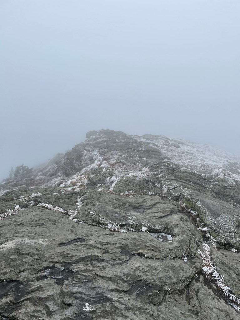
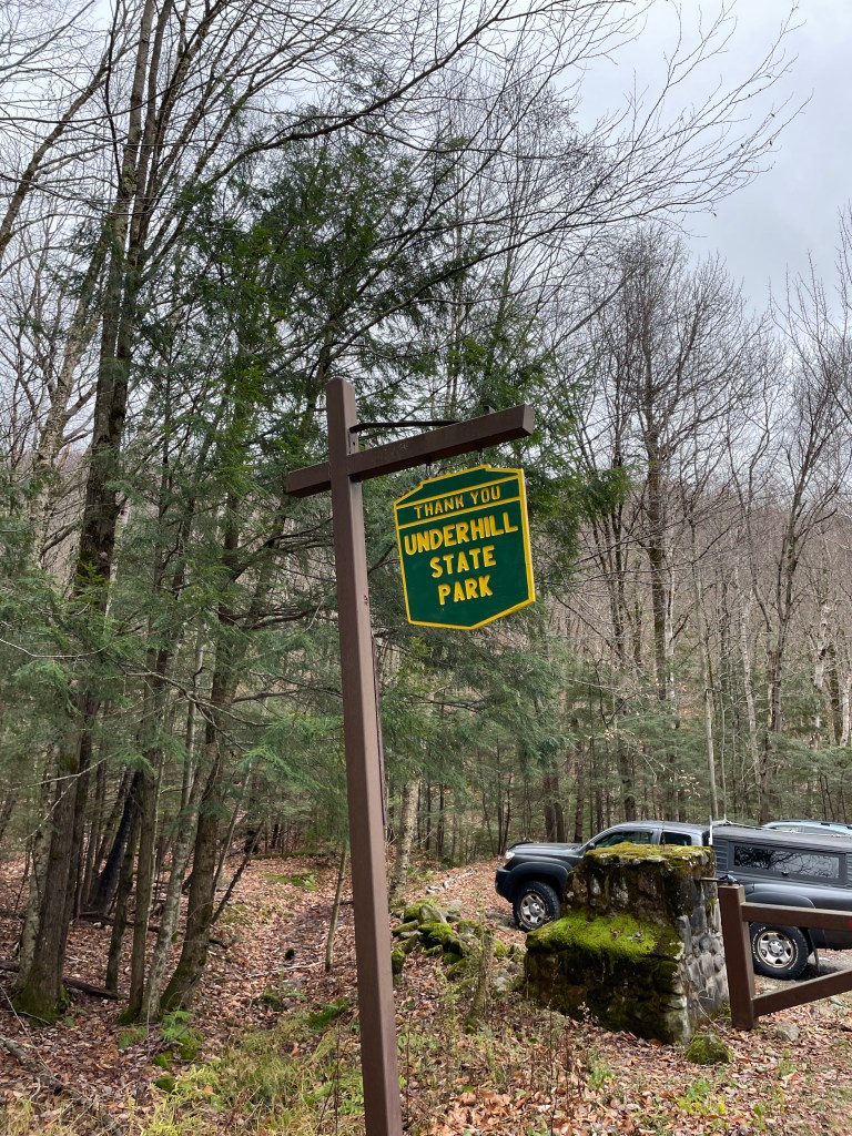
Mount Mansfield features an elongated ridge, which, when viewed from the east, resembles the profile of a face. Several notable features on the ridge are named after the parts of a face, such as the nose, Adam’s Apple, as well as the Chin, which is the highest point at 4395 feet. There are many routes to access the summit, including an auto road which gets you to “The Nose”, the Long Trail which, at 439km long, runs the length of Vermont and connects many of the highest peaks, and some shorter day hiking trails. I opted to take one of the easier routes to the top, the Sunset Ridge Trail, which is accessed via Underhill State Park. Another interesting trail is the Hellbrook Trail, which is the shortest, but steepest. I considered Hellbrook initially but opted against it given my injury and the time of year. My plan was initially to come up via Sunset Ridge and take the Long Trail south to get to the Halfway House trail, which reconnects with Sunset Ridge via CCC road.
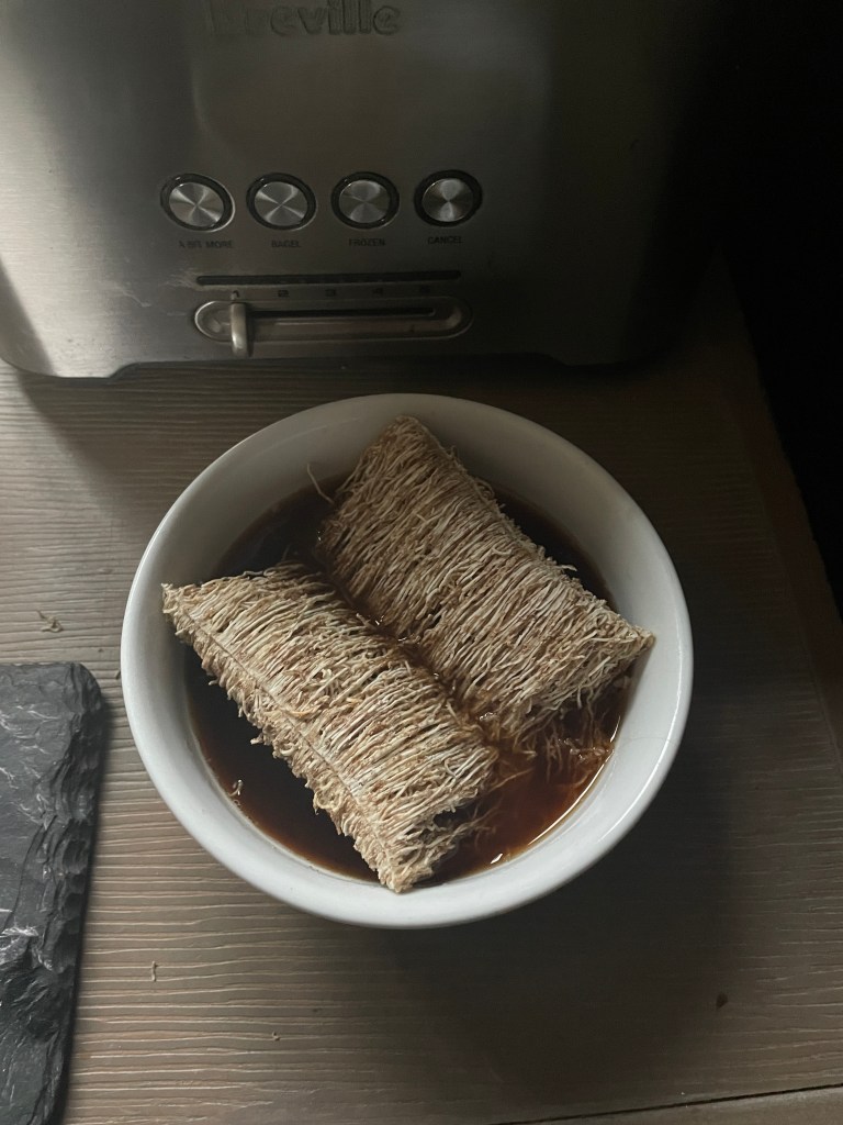
After a bit of a late start, including preparing lunch and trying my coffee and cereal together, I headed out to Underhill, it was about a 20 minute drive from my AirBNB. Google Maps said the road was closed partway into the part, and upon arriving I realized it was just the gate that was closed and one could still park on the road and walk a bit extra. For this hike I opted to wear my Trango Tech boots, mainly because my trip coming up will require boots, so I figured I should get used to them. I got going at about 10am.
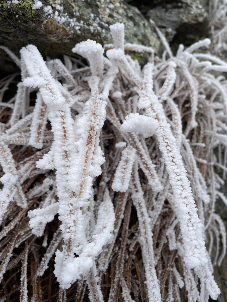
The trail started off fairly easy as I took the Eagles Cut trail to bypass the switchbacking gravel road, and it started to get steep shortly after the junction with the Laura Cowles trail. It was a fairly chilly day but I was able to stay warm with just a baselayer most of the way up. The trail was fairly rugged but nothing too challenging. Very foggy day but was able to catch a glimpse of the summit ridge a couple times.
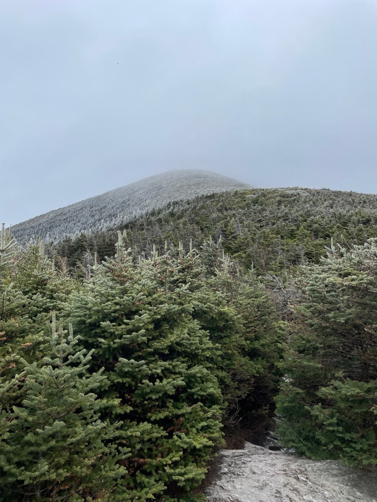
I did get some info from descending hikers that there was some ice in the last 500m or so, but it was fairly easy to navigate it. I realized about halfway through my drive to Vermont that I had left my microspikes at home, though, funny enough, my crampons were in my car, which would have been overkill. As advertised, there was some slick icy sections but it didn’t pose too much of a problem. Once I got above treeline I layered up as it was quite cold – temperature at the summit was forecasted to be about -5C (-15C with wind chill).
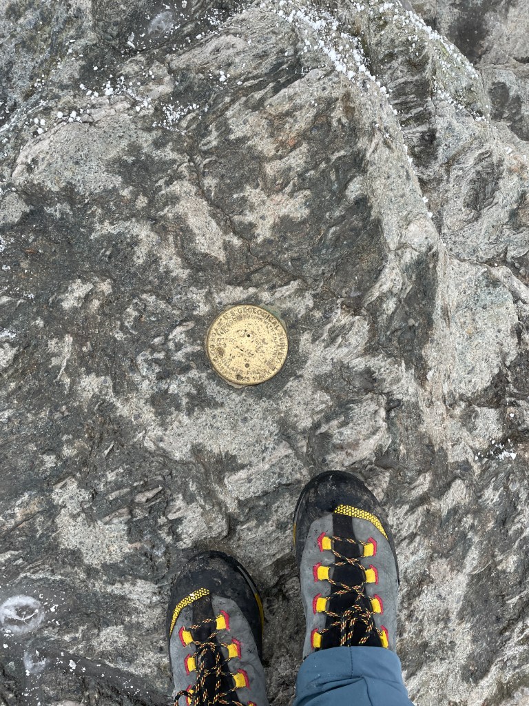
Despite pretty poor visibility up high, it was easy to stay on trail and I was able to make my way over to The Chin, marking my seventh U.S. state highpoint. I hung out at the top for a few mins to eat a wrap that I had prepared at the AirBNB, and chatted with a couple of friendly girls from Québec who were trail running through. It took about 2 hours and 20 minutes to reach the summit from the car.
The descent was very slow, about 2 hours and 45 minutes. I’ve definitely been taking descents much more carefully than normal given my ankle. It was quite amusing seeing the guy I left in the dust on the way up easily overtake me on the way down. Ah, the joys of not being injury-prone! Overall, it wasn’t too bad and I made it back to the car in just under 5 and a half hours. I spent the evening stretching and working on mobility, as well as watching “The Boys in the Boat” on Prime. I really enjoyed that book and the film adaptation was pretty solid as well.
Mount Philo – an easier, but fun option
I decided to skip Camel’s Hump for Sunday for a few reasons. It would have been a fairly long hike and given I had a seven hour (not including breaks) drive home, along with the fact that it was icy up high and I didn’t have my spikes, so I decided to do something a bit easier. After reaching out to my friend Matt who I had hiked with a couple times in the Adirondacks, he recommended Mount Philo State Park. He did warn that it was very easy, though.
After doing some research, I realized that Mount Philo had a pretty short network of trails, and that I could do several laps to get some decent mileage and elevation gain in. I aimed to hike about 7-8 kilometers and get about 400-500m of elevation gain. After checking out of the AirBNB and briefly chatting with my host, David, on my way out, it was a 40 minute drive south (further away from home, unfortunately) to the park. I parked my car and started up the trail.
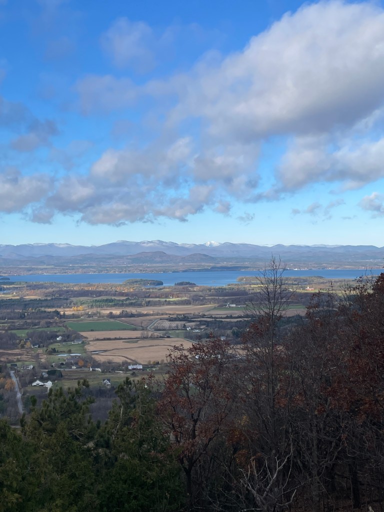
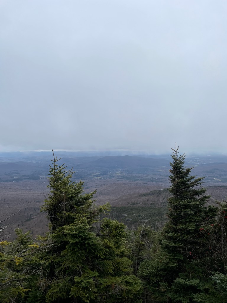
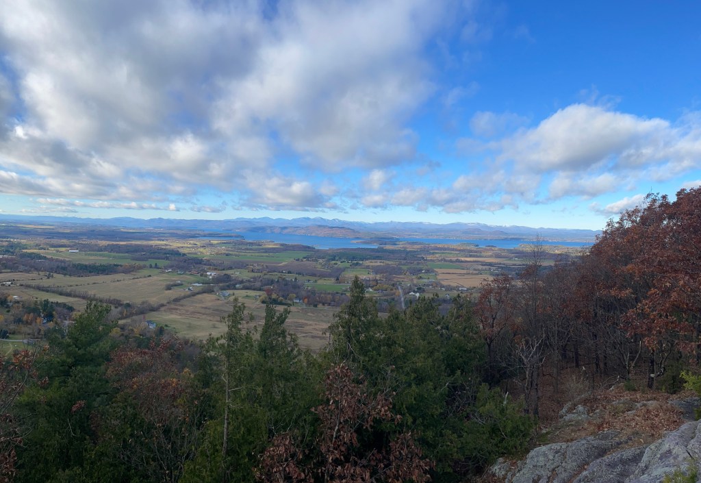
There are several trails in the park, as well as a road which one can drive to the top during the peak season, which ended at the end of October. The main hiking trail to the top involved a pretty solid incline which was a great workout. At the top, there was an area to get a great view of Lake Vermont and the Adirondacks. Was pretty cool seeing this area from afar.
I decided to take a loop down the southwest part of the park and hike the Devil’s Chair trail which reconnected with the main hiking trail. This trail was a bit more rugged and I had to watch my step with a lot of fallen leaves on the trail. I did one more climb to the summit, did a quick loop up top and descended to the car from the main trail. Overall, super fun hike and this would definitely be a good place to train if I lived nearby.

The drive home was long but not too bad, other than nearly getting run off the highway in Québec by a smug twenty year old who decided to change lanes when right beside me. Super scary and thankfully at least one of us was paying attention. -_-
Successful trip overall. Shame I couldn’t do another bigger peak on the Sunday, but this was good preparation for later in the month when I head down south. Stay tuned for more soon!