This trip was one I was looking forward to! In late September 2025, I took a nice long roadtrip out east, which would see me tackle both a U.S. state highpoint (Mount Katahdin in Maine), a Canadian provincial highpoint (Western Barren, which I had very recently learned was the true highest point in Nova Scotia), as well as tackle a few extra Maine 4000 foot peaks which would go towards my Northeast 115. This list consists of all *4000* foot peaks (some of them are actually lower) in New York and New England (Maine, Vermont, and New Hampshire) and is a project I recently decided to take on more seriously. I’ve broken out this trip into three bite-sized posts; this is the first one.
To date, I had climbed 48 of the 115 – all peaks in the Adirondacks as well as Mount Mansfield (Vermont) and Mount Washington (New Hampshire). I had been through Maine a few times when I was a child (when the family drove to Halifax from Ottawa) and have been looking forward to going back for a while. With the revelations about Western Barren, it was a no brainer to combine these two objectives into the same trip – you’ll see in a later post why I didn’t want to make the trip for solely Western Barren!
Since getting to Katahdin in one day from Toronto is an insane task, I decided to break that drive up and bag a few other 4000 foot peaks in Maine (there are 14 in total). I identified the Stratton-Eustis area as a prime location to hit a lot of these peaks at once – 10 of the 14 are in the immediate vicinity and the Google Maps route to Katahdin went right through this area. I wouldn’t have time to do all 10 of these, however (there are 14 in total, requiring 3-4 hike days).
Finally, before I get into it, a bit of positive news on the employment front. A week before this trip, I accepted a job offer in eastern Massachusetts – really great opportunity and also the geography is a nice bonus. Being in New England, I’ll be much closer to a lot of the great northeastern hiking and skiing spots (especially in Vermont, New Hampshire and Maine). While not west coast, this is definitely the next best thing and I’m super stoked to be able to step things up big time in the outdoors moving forward!
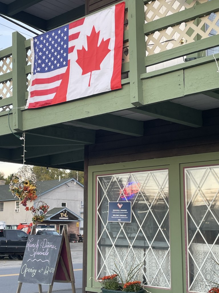
I departed the Toronto area at around 8:30am on Day 1, and made it to Stratton at around 5:30pm. The border crossing was a breeze – the agent was super friendly and was suggesting some hikes in Baxter State Park – though it was a bit odd that the booth was on the passenger side, so it was a bit of a stretch to hand him my passport. Upon entering Maine, the remoteness of the state became immediately apparent as I had no service whatsoever pretty much until I got to Stratton. I stayed at the White Wolf Inn and it was very clear that they were hurting for Canadian tourism dollars. Very friendly people though!
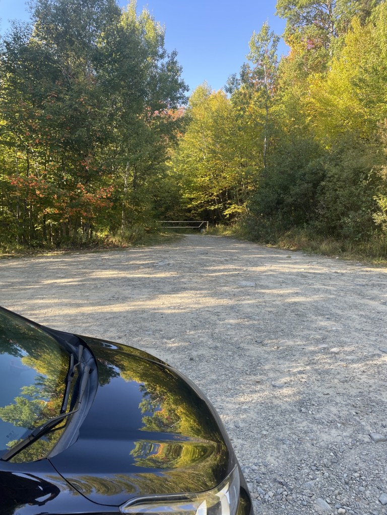
I had two options for parking for my hike the next day – the Appalachian trail parking along the main road, or a remote, rugged drive along an extremely unmaintained Caribou Valley Road. Older Google Map pictures showed chunks of pipe protruding from the road and reviews suggested getting to the parking lot might be challenging. I took it slowly and while there were a few gnarly sections (no protruding pipes, but lots of pipes to drive over (think speed bumps), I was able to make it to the parking lot. I started hiking just after 8am.
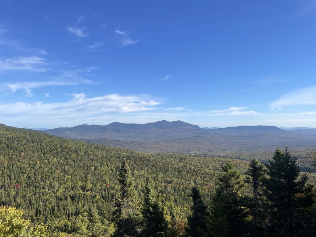
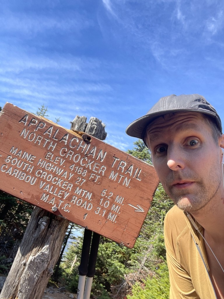
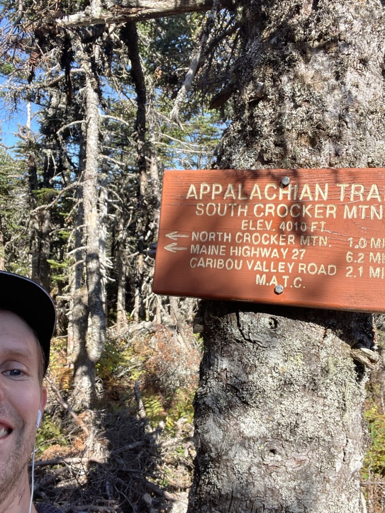
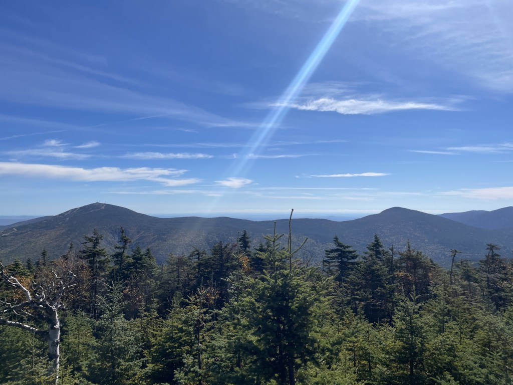
The trail was pretty rugged with lots of roots and rocks to contend with, but I felt strong moving up towards South Crocker, whose summit was just off the junction in the trail. It was a bit of a drop into the saddle to head over to Crocker, and I arrived at around 10am. While approaching and at the summit (4229 feet), I ended up making a couple of calls about apartments and also made an appointment at the bank in Bangor to set up a US bank account. On the way back up to South Crocker, I ran into a few hikers, including one lady who was an AT trail hiker. The South Crocker summit (4042 feet) wasn’t particularly exciting, but there was a nice viewpoint just off the trail which offered a great view of Sugarloaf Mountain and its namesake ski resort. I spotted a pretty gnarly ravine on the back side and wondered if it’s skied regularly.
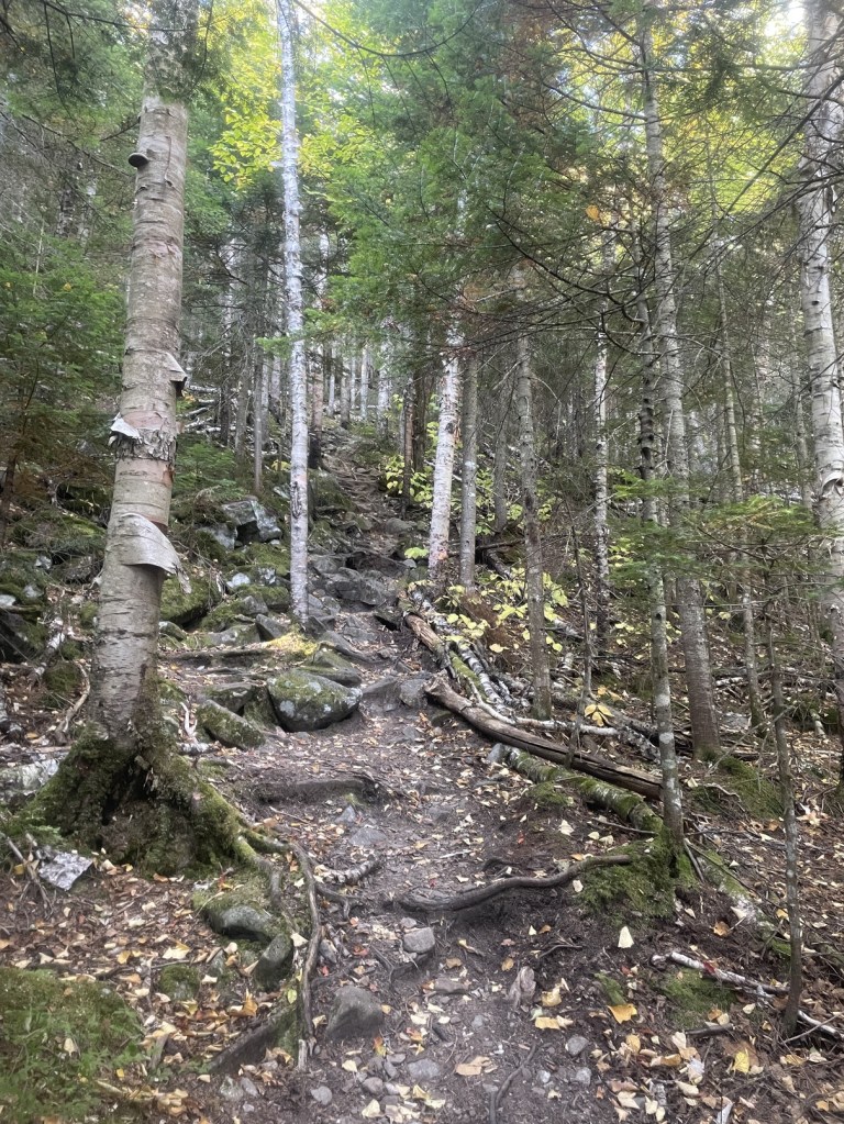
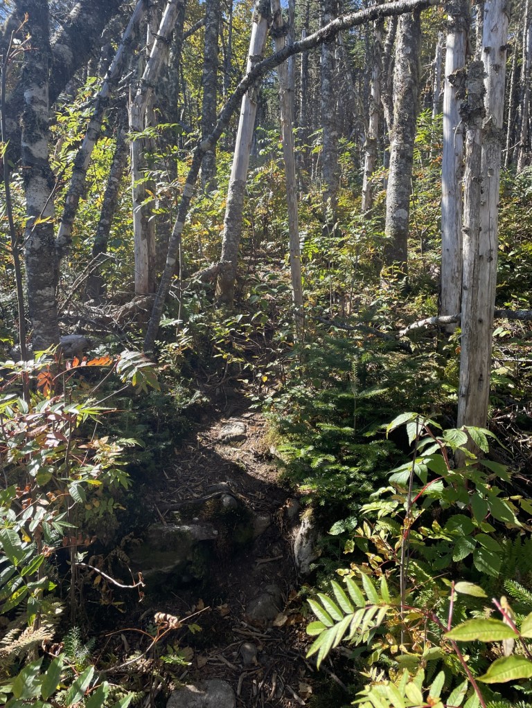
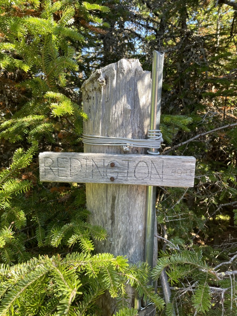
The trip over to Redington was pretty gnarly – I later found out this was the only Maine 4000 footer which does NOT have a maintained trail to the summit. It was definitely a classic Northeast herd path and felt like a bushwhack in some places. Redington also did not have a great view as a treed summit (4002 feet), and it took some time to find the summit sign. I later found out that when it was initially surveyed, it was listed as under 4000 feet, which might explain why the trails to it were herd paths.
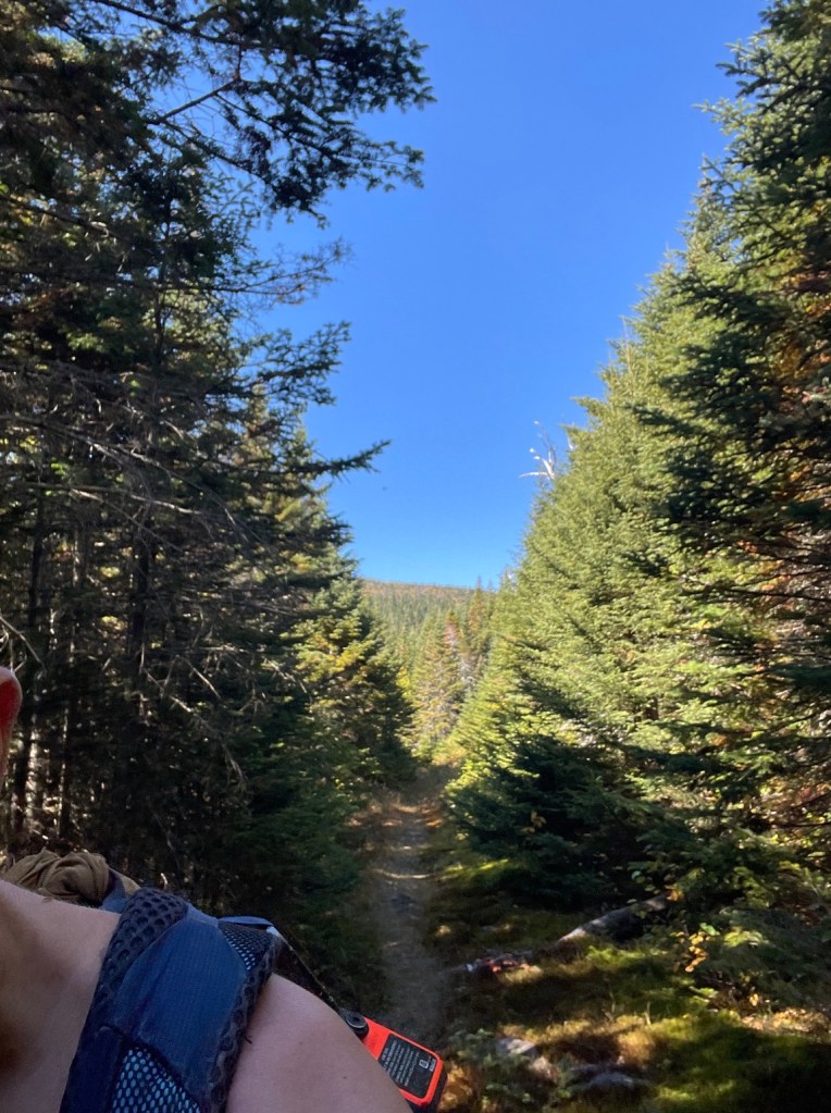
After a bit more herd path travel, I made my way to an old logging road and it was much quicker travel from there – I jogged parts of the trail (within reason, remembering that trail running led to my shoulder dislocation) and made great time. Unfortunately, at some point in this section, my inReach Mini detached from the Garmin caribiner and I only noticed the next day and a 4 hour drive away. With about a mile to go, I came upon a black Lab lying down on the trail. As soon as he saw me, he bounded towards me and was very friendly. I observed that he was collared, pretty skinny, and seemed to be not 100%. As I proceeded down the trail, he followed me closely and I decided to try and call a local vet for advice, and take him to the vet if he accompanied me to the car.
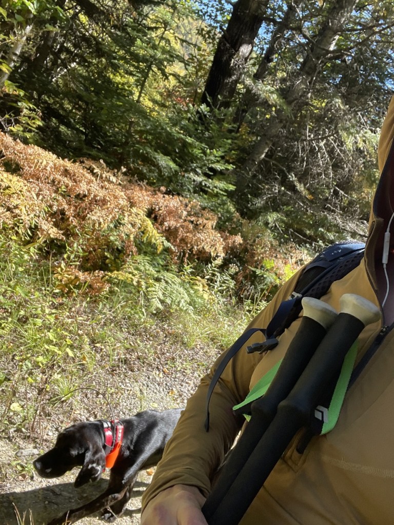
With about half a mile to go, the dog stayed behind, and I opted to continue on without him, and also follow up with the vet (I left them a message mid trail). I finished my hike at 1:40pm and the vet called me back while I was driving back to the main road. She suggested I call animal control, which I did and they thanked me for my help. Hopefully that friendly fella was reunited with his owners!
From here, I headed on to Baxter State Park to take a crack at the highest mountain in Maine, Mount Katahdin! Stay tuned!