The end of September of 2025 was a perfect time to revisit my plan to re-attempt the highest point in Nova Scotia. I had previously visited White Hill in September 2022, and did not actually make it to the summit. It was later revealed that White Hill isn’t even the highest point in Nova Scotia – several surveyors including Eric Gilbertson had confirmed that Western Barren, lying some 50 kilometers to the southwest, just outside Cape Breton Highlands National Park, was just under 2 meters taller.
According to Eric, Western Barren was significantly easier to get to compared to White Hill – it can be approached almost entirely by car, with a short ~200 meter bushwhack through the cursed Cape Breton brush (which stole my camera in 2022). In addition, Eric found a route of very well-maintained logging roads which featured very few obstacles like rocks and potholes, a huge difference from the approach to White Hill (which was done at a painstaking 10km/h on average owing to the gigantic boulders and potholes on the roads west and north from Ingonish). After the five Maine 4000 footers, Western Barren looked, on paper, to be a walk in the park.
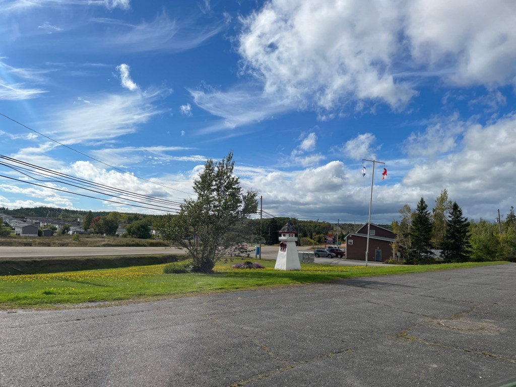
I found lodging in Antigonish, about 30 minutes from Cape Breton Island, from which to start my trip to Western Barren. The night before my trip, it rained pretty significantly which caused me to lose a bit of confidence – my vehicle does not have 4WD and I was a bit worried that it might get too muddy. I decided to proceed cautiously and back out as soon as it was beyond my comfort level. I departed Antigonish at about 7:20am and from the Cabot Trail, turned onto Big Intervale Road and arrived in Margaree Valley, the closest settlement to Western Barren, about 2 hours after departing. The rain let up as soon as I turned onto Fielding Road, where the road transitioned from asphalt to dirt and gravel.
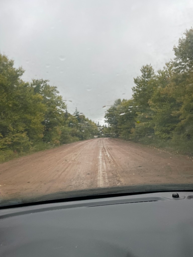
Fielding Road merged with Highland Road heading northeast. The roads were in excellent shape for the location, with the occasional small pothole or rock to dodge, and generally smooth dirt surface for the first 75% of this section. In my little hatchback I was cruising comfortably at around 40 km/h. As I drove I noted that it could be a super fun trip to do via snowmobile and skis in the winter – there is a very active snowmobiling scene in this area. It would be a multi-day trip from Margaree solely on skis, but might be fun to get within 10km of Western Barren via snowmobile and x-country ski the rest of the way.
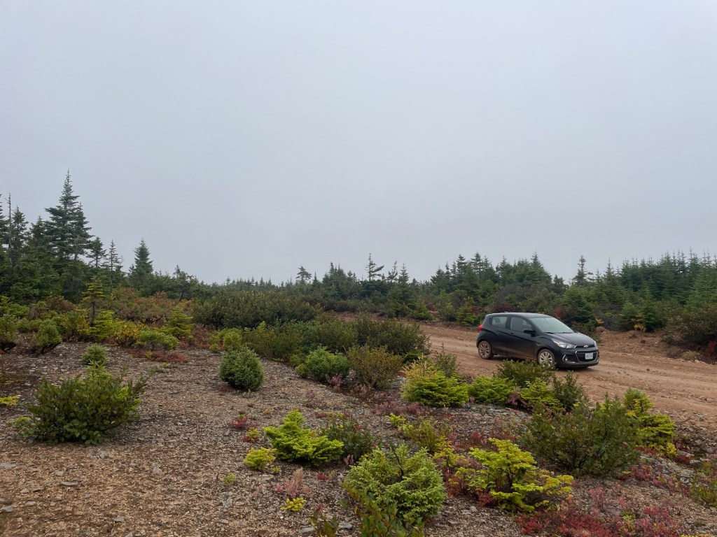
About 10km from the end, the route departed Highland Road, and the road got significantly bumpier and muddier – I had to reduce my speed to 20 km/h and also was fishtailing a little bit in the mud. Thankfully, it was a pretty gentle grade at this point – most of the climb had been on Big Intervale Road. After about 80 minutes of dirt/gravel road driving, I finally made it to a “Y” junction which enclosed the Western Barren summit. I made a 10-point turn (being careful to stay in the middle of the road and to avoid getting stuck in the mud) to swing around, parked, and started bushwhacking. The rain had mostly stopped at this point, but it was cloudy and windy – signature Maritime fall weather.
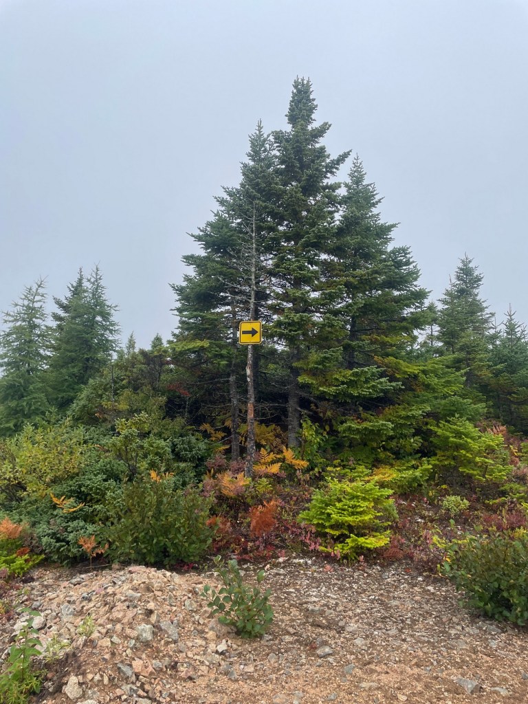
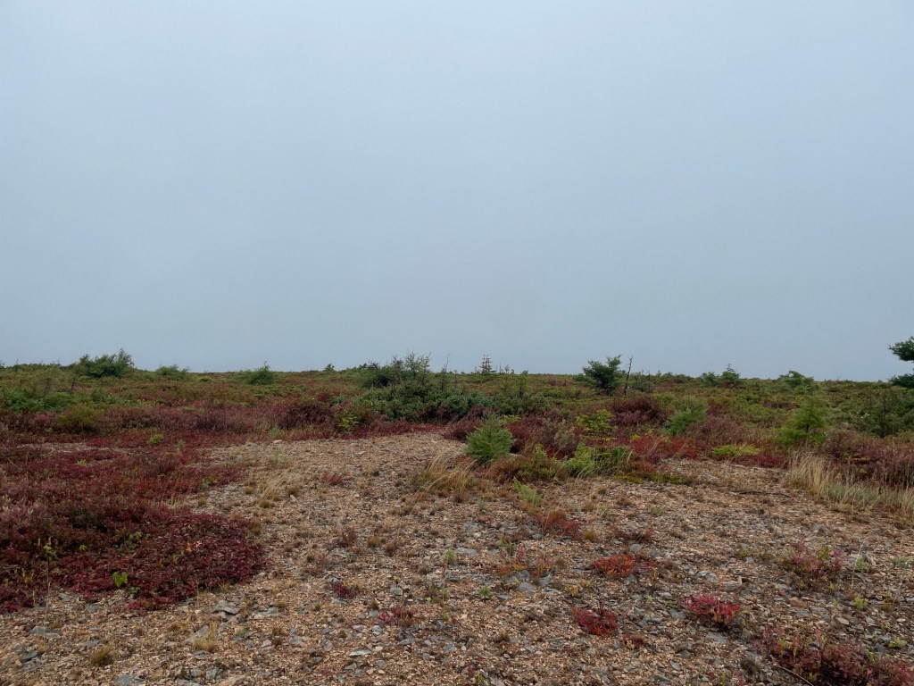
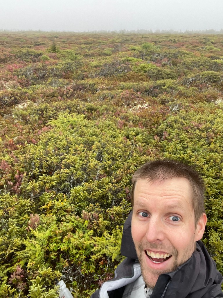
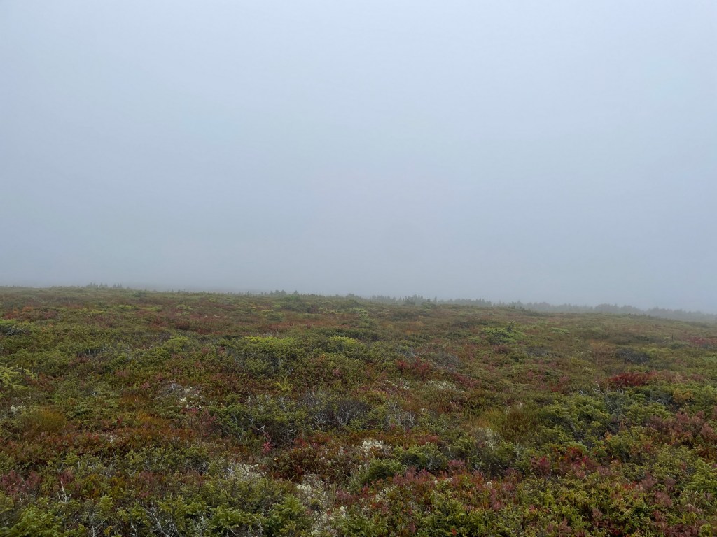
I started hiking from the southernmost part of Y junction which was a huge mistake – not only was this more distance to bushwhack, there was more tall, thick foliage to thrash through. I eventually gave up and worked my way back to the road, and walked about 200 meters northwest to give myself the shortest bushwhack, and struck out for the summit. Due to the rain, my hiking pants, shoes and socks were instantly soaked – I regretted not bringing my rain pants. After about 10 minutes of working my way through much lower brush and grassy tussocks, I lined up my GPS position in OnX with the coordinates of the summit and took a couple of pictures. As this area is rarely visited, there is no marker for the actual summit – maybe someday someone will erect a sign or something. Very happy to have made it to the top of my birth province (for real this time!), and my sixth Canadian provincial high point.
I wasn’t sure if the weather would get worse, but I wasn’t taking any chances. After a few minutes (not really a great place to sit and take in the view here) I hightailed it out of the brush and back to my car. After changing my shoes and socks, I immediately began driving back to Margaree. The descent was a bit quicker, as I was more confident in the road conditions, and also because it was more downhill and there was another vehicle behind me for a bit. I also saw two coyotes dart into the bushes on my way down – super cool. With the rain returning with a vengeance, I made it through a couple muddy sections and out of the dirt/gravel road section in no time at all, about 70 mins after leaving.
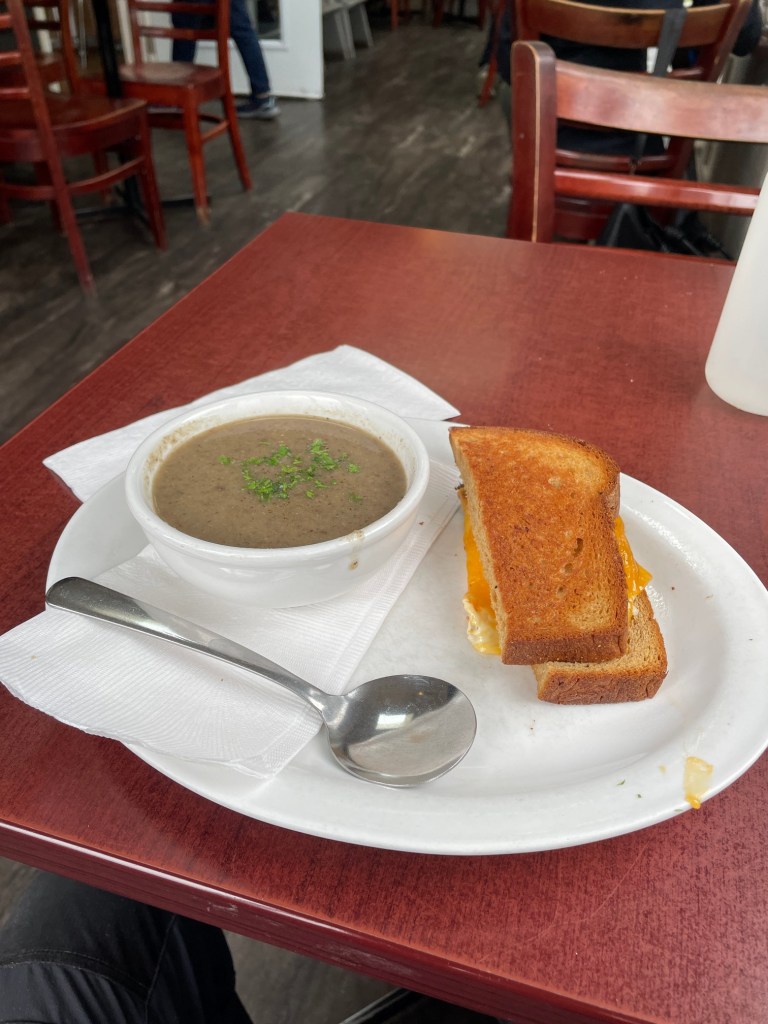
I stopped at the Dancing Goat Cafe & Bakery for a soup of the day (cream of mushroom) and a half grill cheese for lunch, and picked up some homemade cookies for my parents before returning to Antigonish and the two day drive back to Toronto starting the next day.

All in all, an excellent road trip and a great way to cap it all off with a Canadian highpoint (the last of the easy ones)! While I’m a bit disappointed about how easy Western Barren is, it’s definitely not an trivial approach (definitely the drive should only be done when the road is dry, unless you have 4WD), and it could be “fun” (depending on your definition of fun) to do it in the winter if you had access to a snowmobile and/or skis. Maybe I’ll do that some day…

