Algonquin was always one of my favorite camping destinations in Ontario. I had done a lot of backcountry canoe trips with my high school friends some years ago, but had never done any hiking trips. I heard about the Western Uplands trail from Nikola and was instantly intrigued.
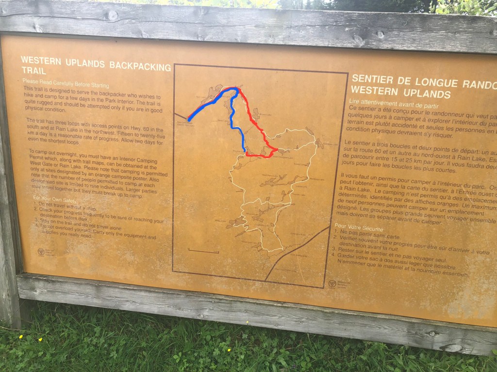
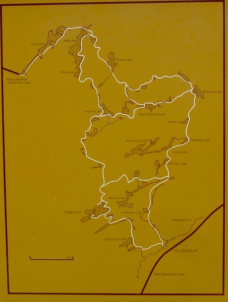
This trail offers a wide range of route options with loops ranging from 32 to 88km, lots of elevation changes as well as many options for campsites. I looked into booking a 2 nighter over Civic Holiday (first weekend in August) not long after returning from Ishpatina but quickly found, not to my surprise, that almost all the sites were booked solid due to the COVID camping craze. I found one site on Pincher Lake in the north of the trail and booked that for one night. I figured I could leave really early on Saturday, get almost a full day of hiking in, camp then hike a full day Sunday, returning home late. A great benefit of these quick trips is that I could leave the cat at home (just one night) and not worry about putting her through the stress of a long drive to the ‘rents place (she always stress poops and vomits in the car, even on short 45 minute drives).
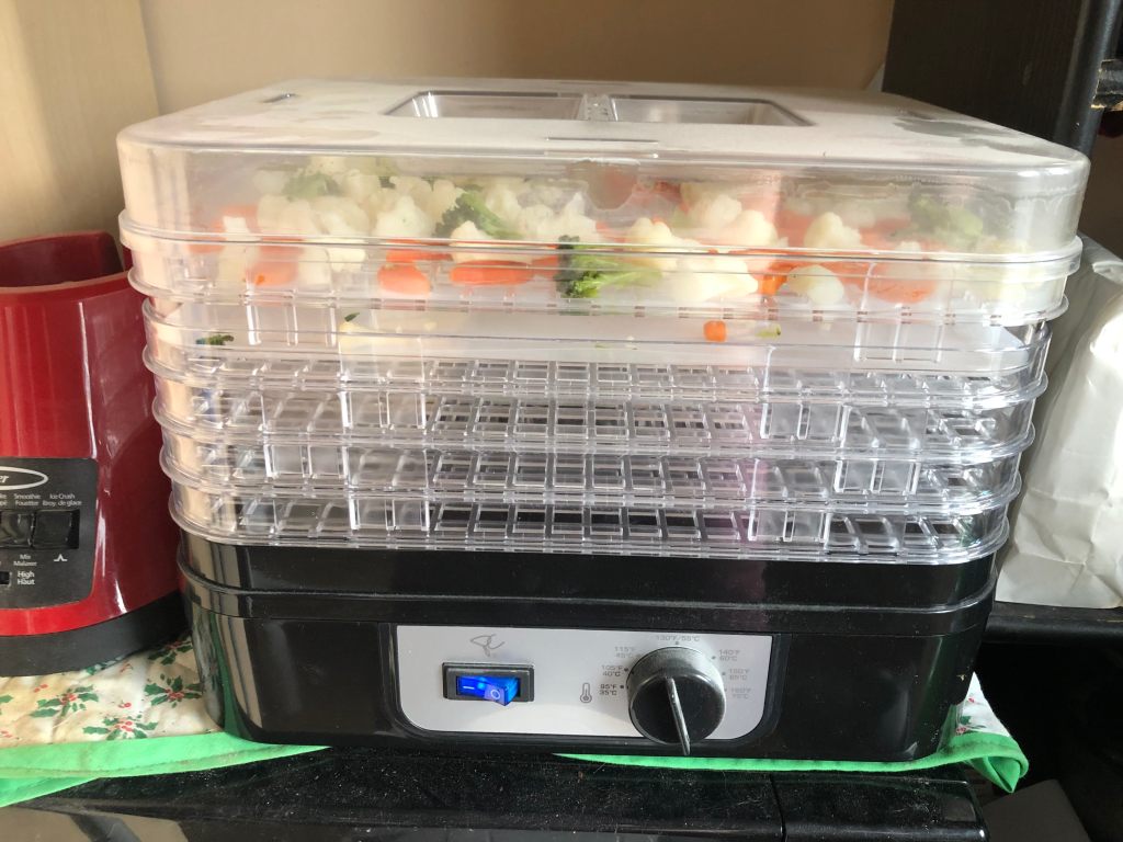
I had also recently picked up a few useful pieces of gear from MEC, including a camp stove (JetBoil) as well as a BearVault to keep my food safe from pesky bears. No more cold canned food! I had also bought a dehydrator way back when I spent $500 worth of (hoarded) PC points at Real Canadian Superstore, so this was a perfect use for it to prep meals. I pretty much rolled with the following meal plan:
- Breakfast: Oatmeal with granola, chia, flax, sunflower seeds, goji berries and walnuts (seeds and nuts vary)
- Lunch: Clif bars and protein bars (mid hike, very easy)
- Snack: Trail mix
- Dinner: Orzo pasta (super compact), red lentils (no need to soak like beans, cook super fast, also compact), and dehydrated veggies (frozen mixes)
All I really had to do was dehydrate the veggies, not much prep at all. That took a while since there’s a lot of liquid in vegetables! Also I was shocked how much they shrunk – a 1kg bag of frozen contracts to about a cup of dehydrated. I portioned out enough for one extra of each meal (just to be safe) and I was ready to go!
Day 1
I woke up extremely early (4:30am) and, after ensuring Pepper had enough food for the next 36 hours, I hit the road (all my gear was packed the night before). It was roughly 2.5 hours to the park – I planned to access the trail via Rain Lake Access Point at the north end of the trail. Upon arrival at the access point I realized I hadn’t downloaded the local area map on my FATMAP app, so I had to retreat 40 mins back into service range where I used all my remaining data for the month to download my map (and thus be able to follow my planned route). Finally at 10:00am, I was off on the trail.
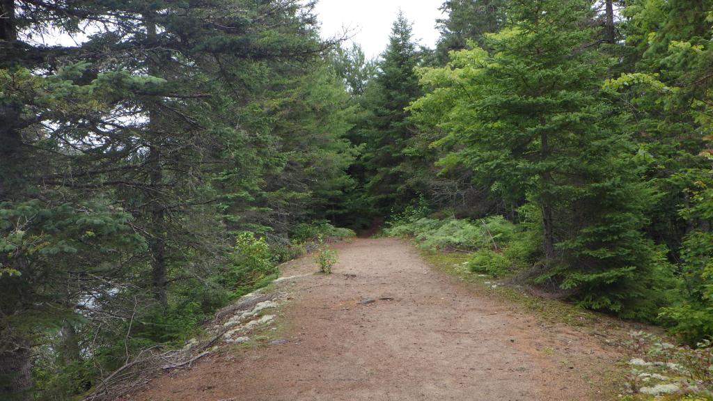
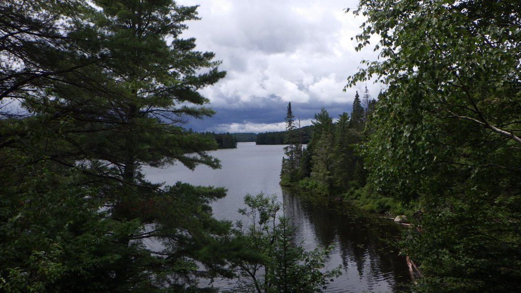
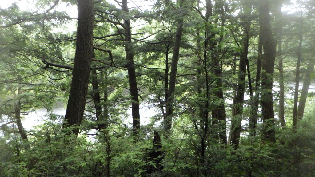
The hike started relatively flat, tracing its way along the south shore of Rain Lake, so I made good time. There was a 100m or so section that was a massive mud pit which involved a lot of stepping on logs to avoid getting a soaker. At the trail junction near Islet Lake, I was presented with two choices to get to my site at Pincher Lake. I opted for the longer route on Day 1 and loop around on the shorter path on my return the next day. From this point, the hike became a fair amount more unpleasant, with a lot more elevation gain, mud pits and swamps to skirt around, along with rainfall in the last couple hours. After about 25km of hiking, I was extremely exhausted but relieved to arrive at my campsite fairly late in the day at 5pm.
I quickly set up my camp, with the rain falling steadily, and collected water for drinking and cooking. For this trip I used my old Katadyn Hiker Pro pump filter system, which has definitely seen better days! Unfortunately the sparker built in to my JetBoil refused to light the gas (possibly due to wind and/or rain), so I switched to matches which I only expected as a last resort. Got a nice hot meal prepared, washed up, ensured all food and otherwise aromatic items were stowed in my BearVault, and it was off to bed at 7:30pm.

Day 2
The night was pretty warm and sticky – unfortunately I was not really up for swimming in the lake to wash off some of the sweat from the earlier day – but slept most of the 12 hours I was in my tent. The rain had not abated and had fallen all night and into the morning. I knew Day 2 would be another tough slog back to the car so I quickly got breakfast together, packed up camp and hit the trail again at 9am.
After relatively few breaks the previous day, I decided to put a hard limit and take a 10-15 minute break every 5km (roughly 1h 20min) of hiking to give my body rest. I took a slightly different path back to reconnect with the junction at Islet Lake. It was a bit more enjoyable as the rain let up a bit, but the bugs were still out in full force. Passed by the interestingly named Stutter Lake and Stammer Lake (the latter of which featured a decent climb up and overview of the lake). At this point I really started to feel it in my feet. My hamstrings also got super tight, likely due to lack of stretching and hydration. My pack was also hurting my shoulders – it is a bit small for my torso so a lot of weight shifted away from my hips. The last 5km, despite being on fairly flat ground approaching the trailhead, were brutal – I needed to take a lot of breaks to give my body a reprieve.
Eventually I reached the parking lot at 2:45pm, super excited to be done and to have completed a very challenging 30 hours in the wilderness. All in all, I had hiked around 45 kilometres, which was pretty crazy considering I was in my tent for 12 hours and at camp for 4 more. Suffice to say it was a good lesson in pacing and taking breaks! Drive home was uneventful, and as always I stopped for a plant-based fast food binge at A&W in Barrie, and arrived home at 7pm (yes, of course there was traffic).
Overall, quite a fun hike, super challenging and I’m looking forward to returning to hike more of this trail. From the map, you can see I only explored a very small part of it!