July was a pretty busy month for me, with a couple weekend trips (one back to Canada, one to a conference in Maine) but I was able to tag twelve more of the MA50HPP, with five of them on the July long weekend alone (this was a rough weekend but an excellent test of my knee resilience). I also went to a couple of the peaks closer to Worcester during the week to make up for being away on a couple of the weekends, and also tagged a couple of the MA county high points.
This is Part 1 for July as I want to keep things concise!
Warner Hill and Tully Mountain
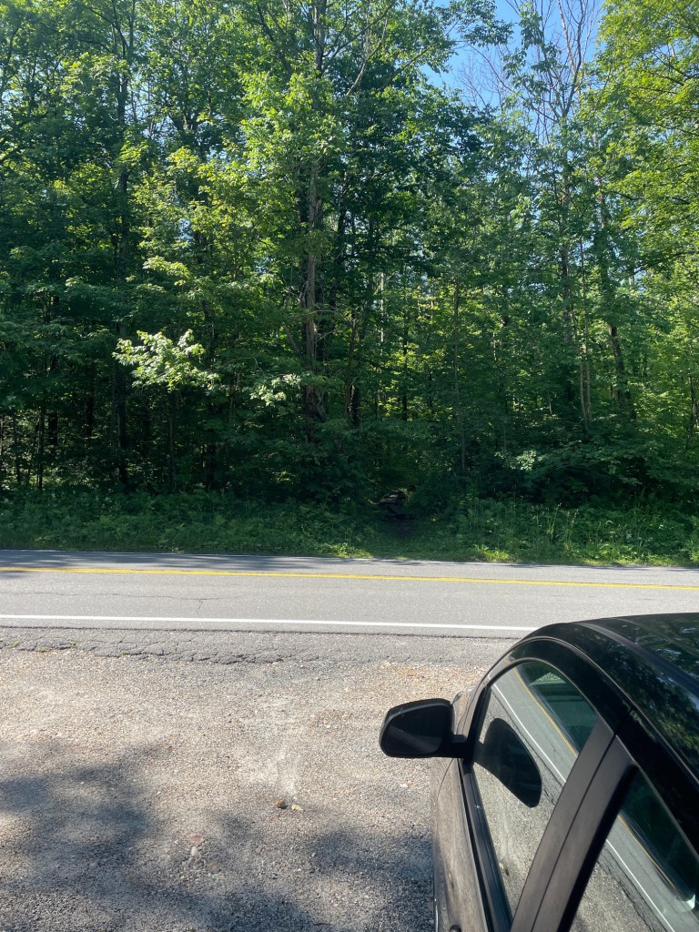
There are two possible ways to hit these two peaks. Both situated on the Appalachian Trail, one can park either on the south, at Blotz Road, or at the north, at Grange Hill Road. I opted to park on Blotz as the route was a bit shorter and it seemed to be the more popular direction. The total distance was about 8.4km and only had ~230 meters of elevation gain, so while it was longer than a lot of the previous hikes I’d done, there wasn’t much elevation to worry about with my knee.
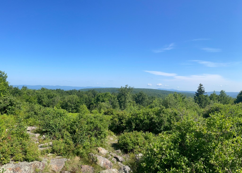
I reached Warner after about 18 minutes of hiking and it had a super nice overlook where I could see the Green Mountains in the distance. I stopped here for a quick break and stretch (staying in the shade as much as possible since it was HOT) before setting off towards Tully.
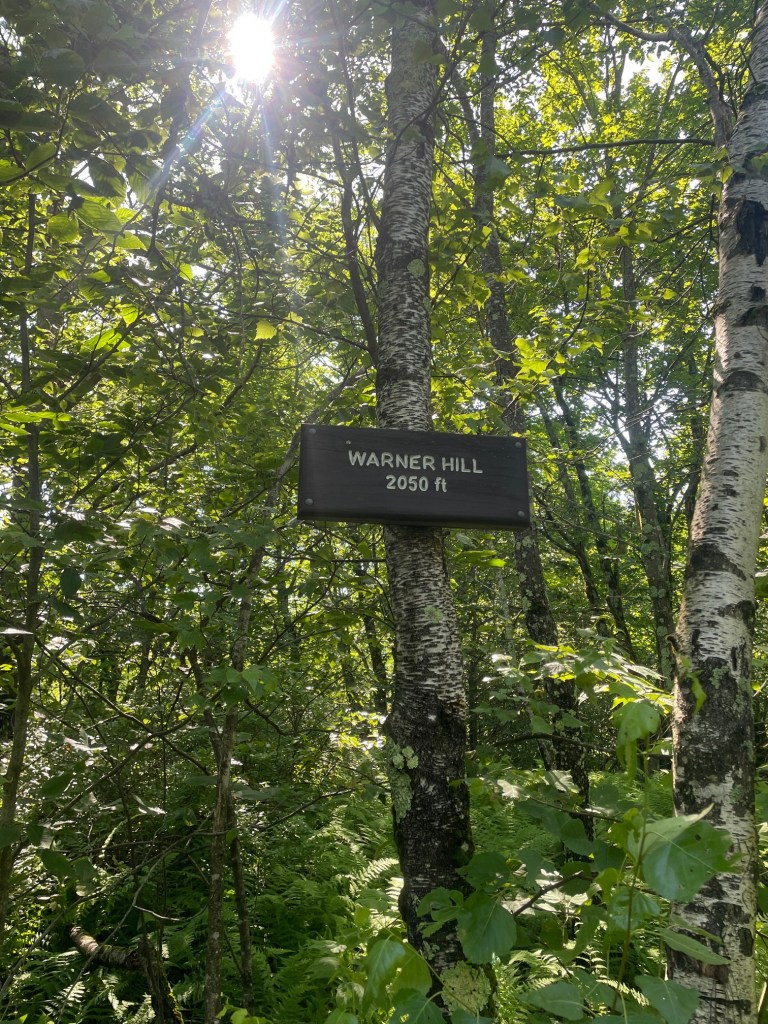
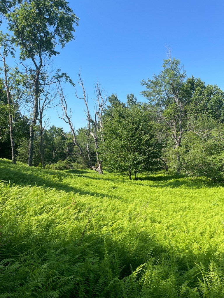
It took about 50 minutes to reach the sign marking the summit, but I knew the actual summit was a ways into the woods, so of course I did a bit of bushwhacking. It was a bit iffy as there were a lot of thick ferns to contend with, and I got lucky to stumble upon the survey marker for Tully Mountain, half covered in moss. I took a break at the survey marker before making my way out of the brush back to the trail.
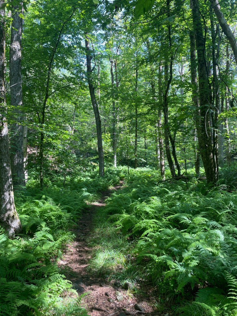
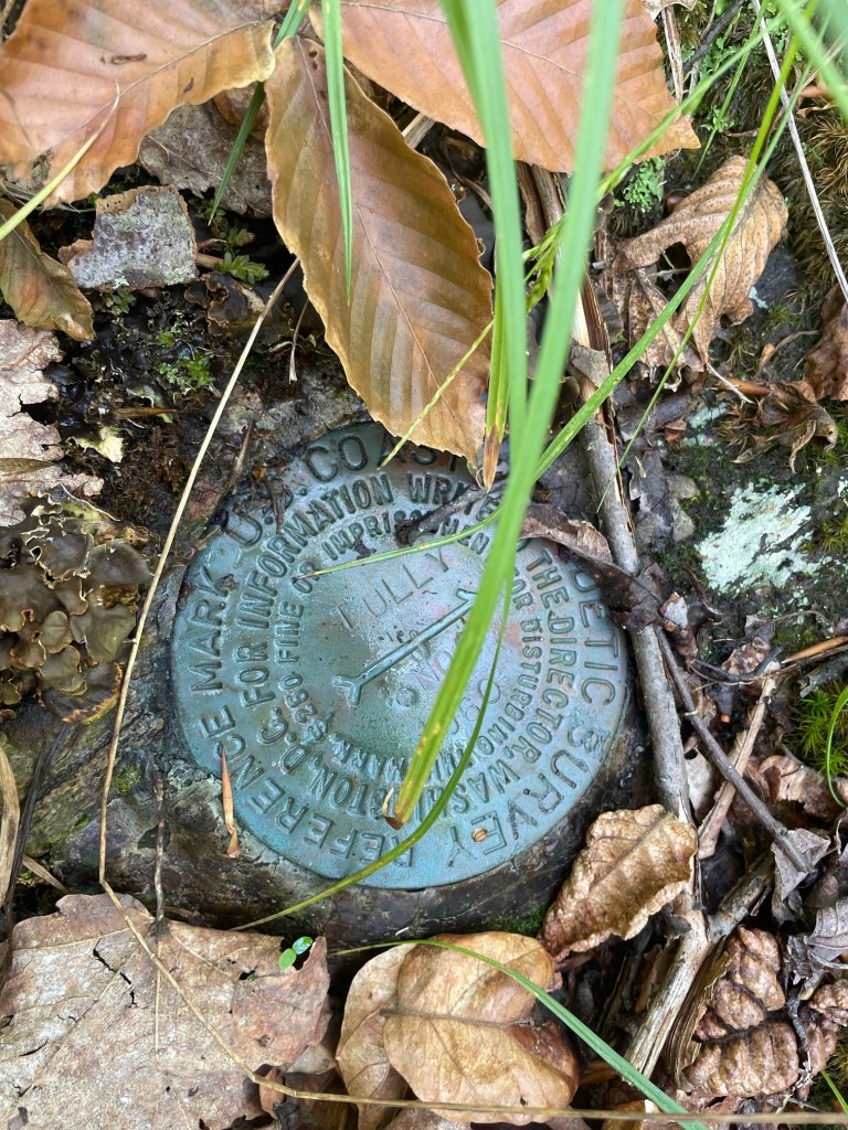
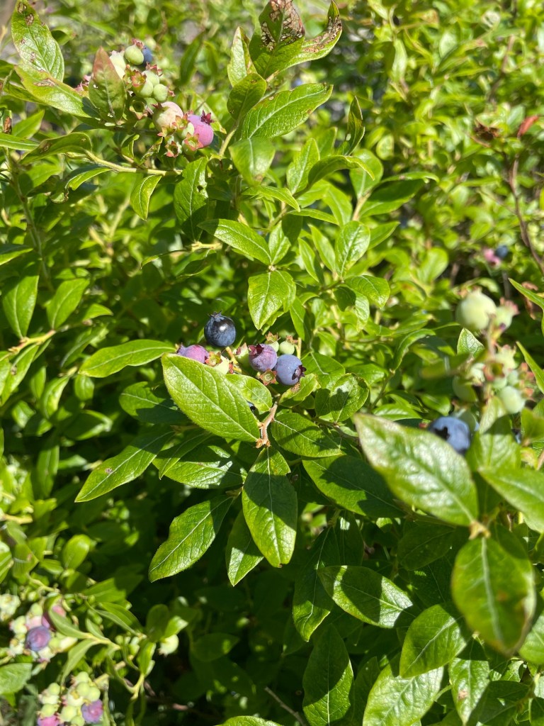
The hike back was fairly quick but it was brutally hot which made things tough. Thankfully I packed lots of water with me so I was able to stay hydrated but I wish I had brought more food. On the way back I ran into a few through hikers who were about 2/3 of the way done the Appalachian Trail. Super friendly and inspiring folks! I’ll probably never do anything that long but definitely want to do some ultras in the future once I fully recover and nail down a solid prehab/recovery/strength training system. Back at Tully for a quick break and I realized there were wild raspberries and blueberries growing on the summit! A bit out of season (especially the blueberries) but it was a nice little snack. The hike back to the car from here was short and uneventful.
Judges Hill
Judges Hill is about 25 mins from the parking area on Blotz Road, and is situated at the Notchview cross country ski center. The hike itself would be pretty easy, with little elevation gain, which was perfect to polish off the day. After strategically parking in the shade to ensure my car stayed fairly cool, I ventured in and noticed there was a fee to use the trail of $2, but no one was around, despite the clubhouse being open! After poking around and seeing no one, I decided to get hiking – perhaps I’d pay upon completion, pay on my next visit (definitely plan to ski here next winter) or maybe they don’t charge during the summer?
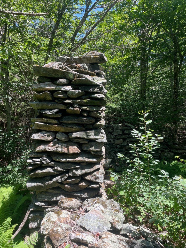
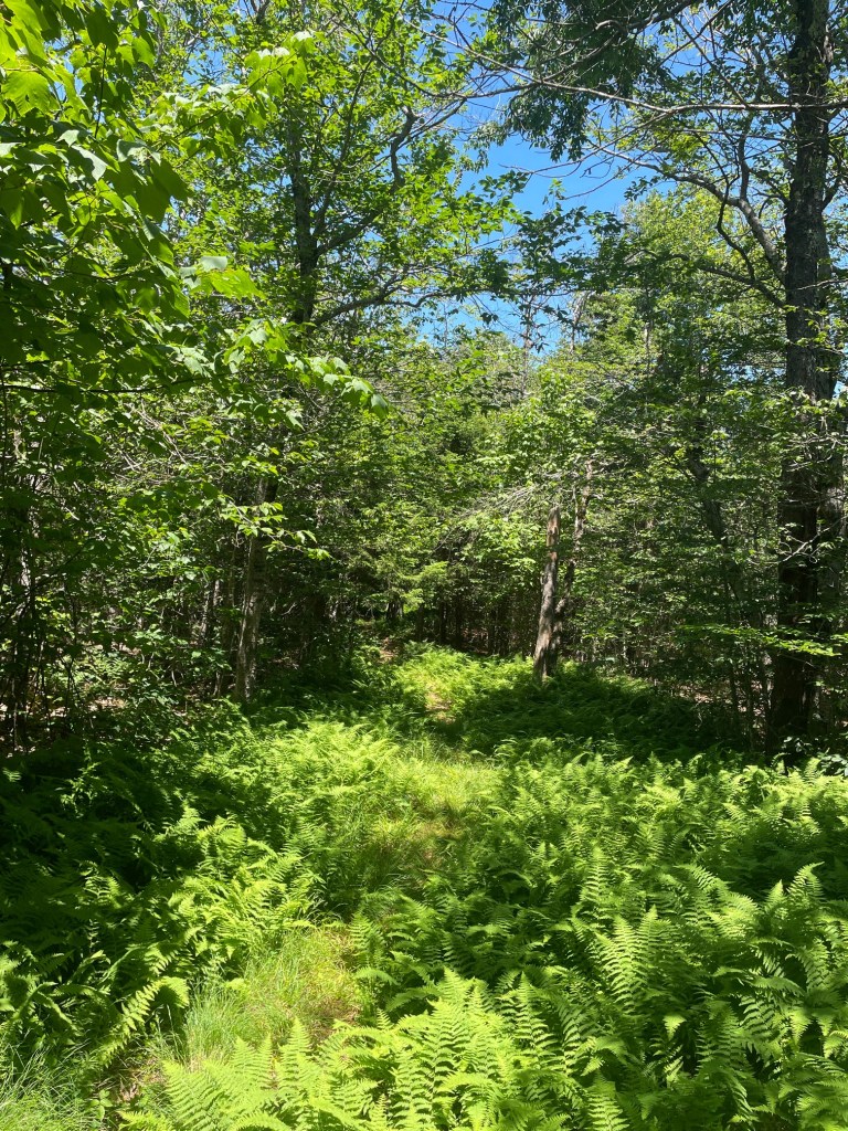
The trails were surprisingly overgrown with long grass and ferns but the travel was quick to the summit where a massive cairn was situated. GPS coordinates put the summit in the woods NW of the cairn but I couldn’t find anything that stood out as a high point, let alone a survey marker. I decided that the cairn was the summit and called it a day.
Overall, very solid day of hiking with 12.55km travelled with 420 meters of gain in just over four hours including breaks. My knee was a bit sore towards the end of Warner/Tully but I found that flossing my leg (putting the knee through full range of motion while lying on my back) helped relieve the discomfort immensely, which was gratifying). The following day (4th of July) the knee felt great so it was full steam ahead on my hiking plans for the next day (Sunday).
Spruce Mountain
Sunday was Spruce Day! Apparently there are a lot of peaks in NW Massachusetts named Spruce – and two of them were on the MA50PP list, so I decided to pair them up. Spruce Mountain was first up – this one is one of the highest on the list (ranked #4) and is situated in Monroe State Forest and is pretty close to one of the MA county high points that are on private land (Crum Hill). I initially planned to hit Crum as well but backed off when I realized there’d be access issues.
My ascent route (the confusingly named Spruce Hill Trail) was a bit hard to follow in places as it doesn’t seem well traveled or maintained, and the incline started off strong immediately. About halfway up I was shocked and thrilled to encounter a porcupine waddling along the trail. Thankfully (and also a bit disappointingly) it beelined into the woods pretty quickly so I couldn’t get a picture, but it was still a really cool experience – I’ve never seen one hiking before, at least not in the last 25 years or so.
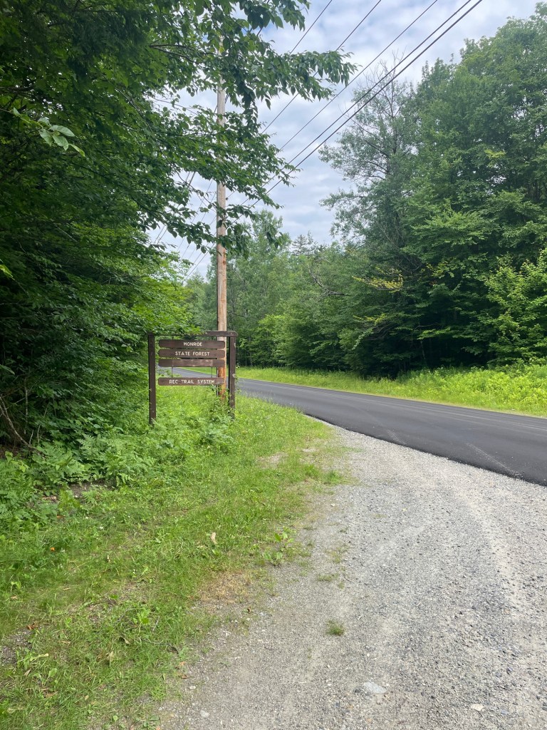
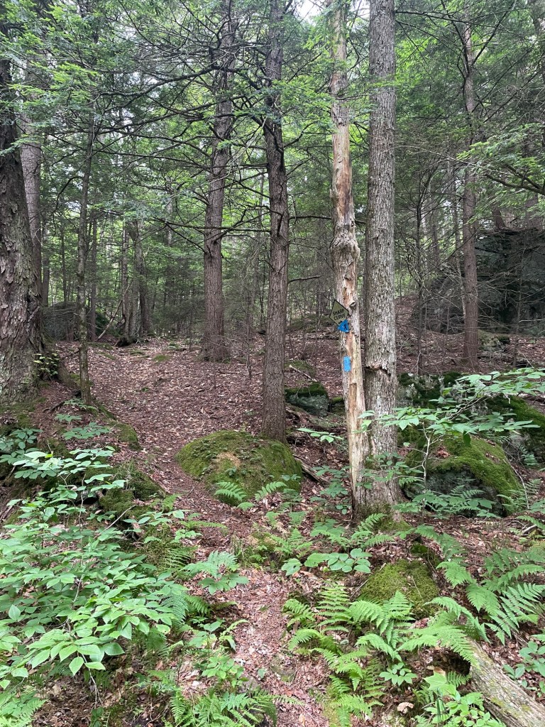
I made it to the summit after about an hour of hiking and wasn’t able to find a sign or a survey marker, so after checking out a few candidates for the highest land, I took a break at the overlook which didn’t offer the greatest view but at least it was a nice place to sit. After 20 mins, I started back down.
I opted to take the logging roads back down – despite being a bit more distance, the terrain looked easier to descend (there were quite a few sections that were steep and needed hands on the way up). Unfortunately the higher up road was washed out in places so I had to tread carefully. It was still way faster on the descent than the ascent (which is not the case for out and back hikes for me generally) so it was nice to save some time. I still felt pretty good so it was time for my next two peaks named Spruce! Back in the car and on to the next one.
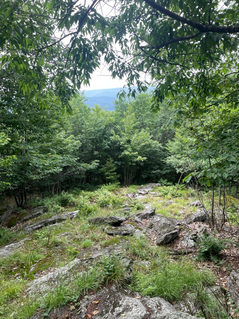
Spruce Hill North Peak and Spruce Hill
Spruce Hill is a pretty popular hike in Savoy Mountain State Park, with excellent views of North Adams and the Greylock massif, but isn’t even the highest point of land in the area. That distinction belongs to Spruce Hill North, which is about half a mile north and about 200 feet off the Hoosac Range Trail. So yes, another bushwhack, and from the trip reports I’d read, a fairly gnarly one.
The Busby trailhead, where I began my hike, was only a short 10 minute drive from the Spruce Mountain trailhead, so it was a quick turnaround. I took some time to get a quick stretch in as well as get hydrated – I had brought my 3L jug with me to refill my bottles and it was nearly empty. That meant, with the pre-filled smaller bottle and a Body Armor electrolyte drink I’d grabbed at a gas station in the morning, I’d be drinking almost 5 liters of water that day.
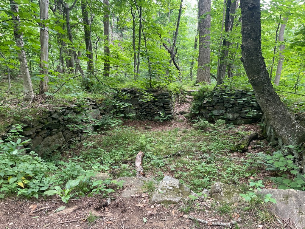
The hike up to the ridge was pretty fun on fairly easy terrain. The trail passed by an old foundation of the Busby Farm, which was last occupied in 1933. After a slightly steeper ascent, I reached the turnoff for Spruce Hill, which I opted to save for the return trip. At this point, I was getting pretty tired as I moved north along the Hoosac Ridge Trail to find the bushwhack to Spruce Hill North Peak.
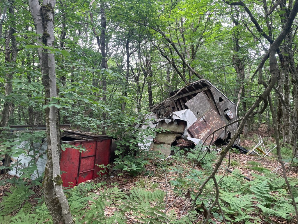
Eventually I reached the point roughly west of the waypoint marking the summit and began climbing up through steep brush. Very sketchy and would not recommend if you have an iffy knee. I quickly found some milder terrain and was able to find the summit – a large boulder with a cinder block on top. A bit further back were the remains of an old radio tower, which I didn’t spend too much time exploring.
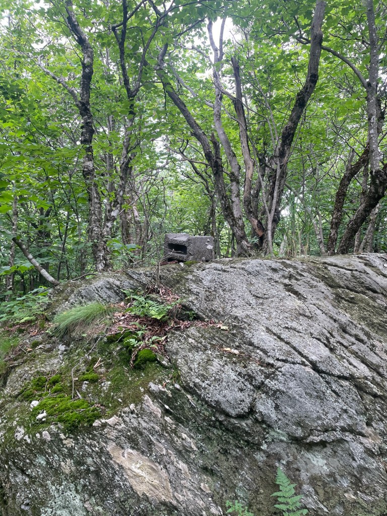
I took a quick break sitting on the cinder block, before cautiously descending a slightly different route which was definitely better aside from the four foot cliff I had to drop off of (luckily, just tall enough I could reach down with my foot after sitting). Back to the trail with some relief and then backtracked to the smaller, but more scenic Spruce Hill (South?). Some incredible views of the Mount Greylock massif and North Adams, looking forward to getting over there eventually.
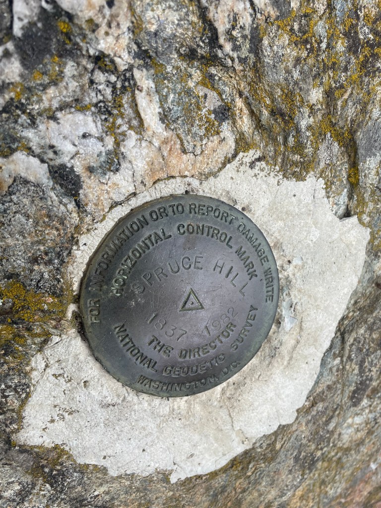
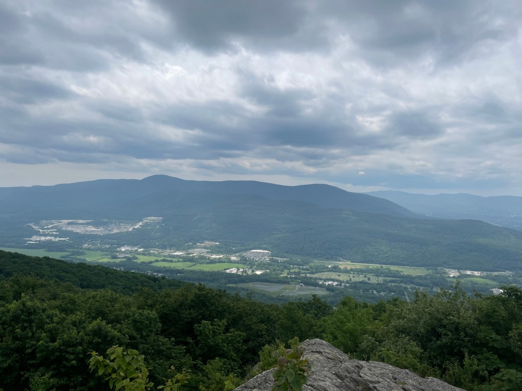
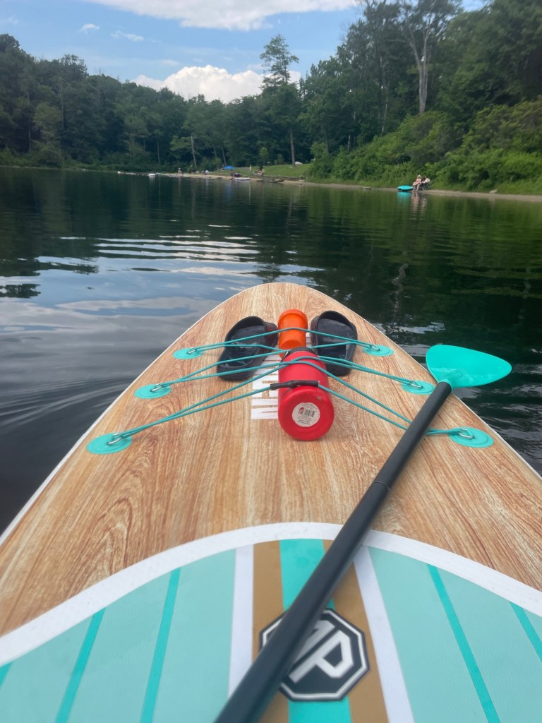
The descent was slow owing to the large amount of miles I had put in the last couple days but overall a very successful weekend! I then took a short drive down to North Pond and spent about 45 mins on my stand up paddleboard and cooled off with a quick swim. A great way to finish off a day of hiking for sure.
That concludes Part 1 of Massachusetts hiking for the month of July. Part 2 coming soon!


Thank you for sharing your adventures!
LikeLike
Thank you for reading! 🙂
LikeLike