Following Spruce Hill, I completed probably the most enjoyable set of peaks in Massachusetts to date since I started the list. Below is Part 2 of 3 for my very busy July!
Mount Watatic
Watatic is the second closest of the peaks to home (less than an hour away), so it was logical to squeeze this one in before or after work. This peak used to be home to a ski resort with slopes on its northern side, but competition with other resorts such as Wachusett caused it to close down some time ago.
For this hike, I planned to tag another MA county high point, the northeast slope of Nutting Hill (a subpeak of Watatuc) as well as Nutting Hill itself for about a 5km loop. I expected to finish within 90 mins as the route is pretty popular and well maintained compared to some of the other peaks I’d recently climbed. The hike up to Nutting Hill was fast and fun – super wide trail with just enough variability to keep things interesting. I was able to find approximately the location of the county high point on Nutting Hill – the county border is marked by a low stone wall, but a tree with a blue trail marker which once marked the exact high point was missing.

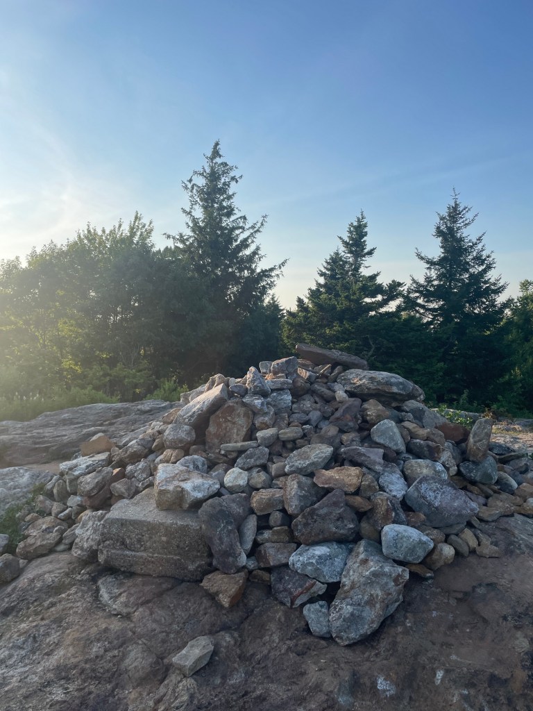
Quick pass over the true summit of Nutting Hill (nothing special) and it was off to Watatic. The terrain was a bit more rocky here so I moved a bit slower to keep things safe knee-wise. Another short climb up and I was on the summit of Watatic, marked by a large cairn. The view was mostly obstructed by trees (I’m sure it would be better in winter) but it was nice being out close to sunset. I slammed an energy bar and some water before setting off down the trail.

The descent trail was fairly steep and rocky but also wide – if it was filled in with a ton of snow this would be a great ski tour! I quickly made my way back to the car after 5km and 1h 20 mins of hiking. Definitely a fun one – shame it’s a bit too far from home to come back regularly but I hope to return again!
Negus Mountain
This one was awesome! A few days after Watatic, I went to Montreal that weekend to catch up with a friend and decided to make a detour to bag 3 peaks in the Mohawk Trail State Forest which are a bit closer to me – Negus, Todd (a different mountain to the Todd I’d hiked the previous month) and Clark. My plan was to hike Negus Friday evening then come back for the other two in the morning. These peaks are in some of the more steep and rugged terrain in Massachusetts, so i was curious to see how my knee would hold up. In particular, Negus has been compared to the White Mountains and features a steep scramble gaining about 300 meters in less than a kilometre. Also nearby was the Deerfield River which people paddle down – a bit too gnarly for SUP (you can’t paddle upstream!) but looked like a fun float.
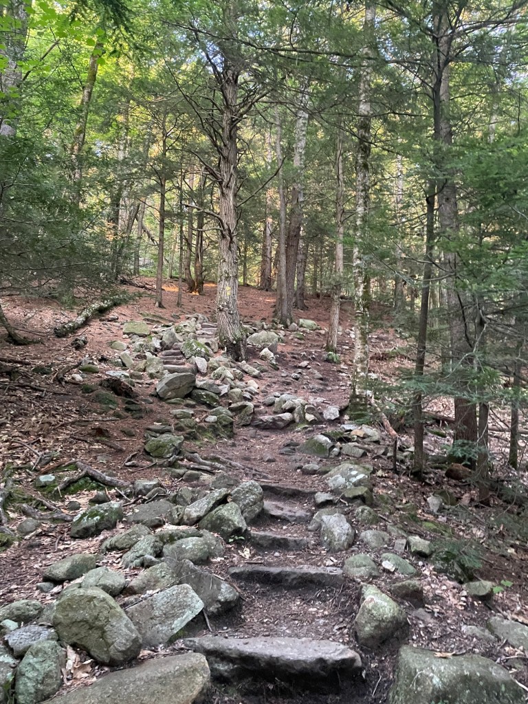
Upon arrival and after realizing my bug spray was nearly dead, I quickly set off as I didn’t have a whole lot of sunlight left and wanted to blast the uphill as quickly as possible in order to take my time coming down. The high grade immediately started and before long I was confronted with the first of many rocky sections which required the use of hands. Some sections were pretty tricky and I was (not) looking forward to trying to descend them later.

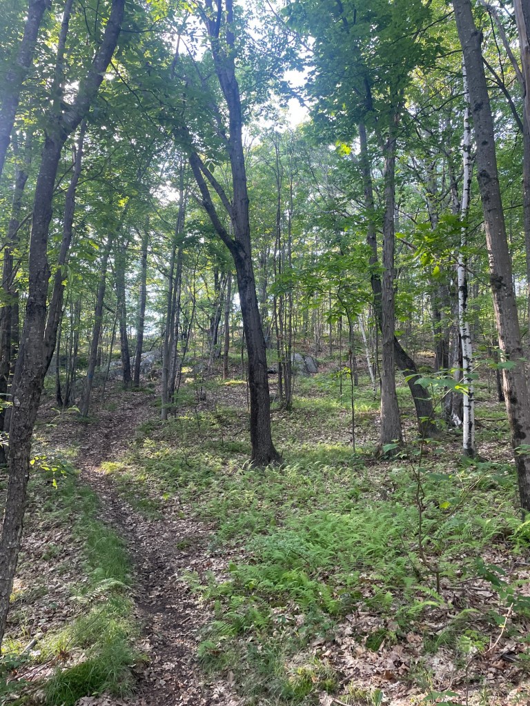
It was a pretty hot afternoon so I was drenched in sweat pretty quickly but made great time up the steep section, which, after about 800m, mellowed out. It was still about a kilometer to the summit, but from there it was super easy, fast travel over rolling terrain on the summit plateau. Super pretty forest and very peaceful – was thinking this would be an excellent place to camp out in the winter (climbing up Negus that time of year would almost certainly require crampons).
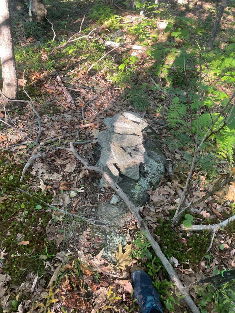
After a final short incline, I set off into the brush to locate the true summit, which was slightly off trail. After a bit of wandering, I found a small cairn which lined up more or less with the GPS coordinates of the summit. I grabbed a quick drink, and immediately set off back to the trail – I had about 90 mins of sunlight left and had been on the trail just under an hour, and had no clue how long the descent would take seeing I planned to take it conservatively.

The descent only took about an hour, and it ended up fairly dark by the end – since the terrain is so rugged, the sun dips behind a neighbouring peak a bit earlier than official sunset. The climb down the steep sections went pretty well – my trail shoes were pretty grippy and I down climbed a few parts. No huge issues overall. Definitely my favourite MA peak so far and one I’d love to do again. It really felt like the Adirondacks on the steep sections and the mellow forest walk on the summit plateau is a great reward for your hard work on the climb.
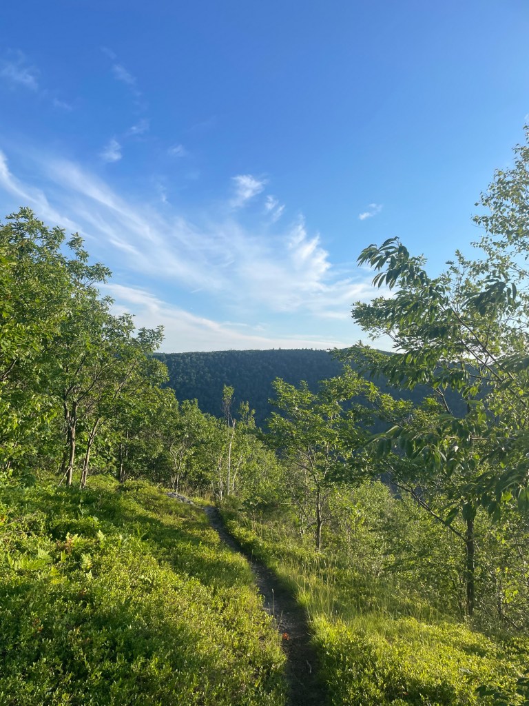
Todd Mountain (2) and Clark Mountain
After Negus, I stayed overnight in Shelburne which was about 20 mins away from Mohawk Trail State Forest. This made it quite easy to drive back over the next morning to hike the other two peaks on the list in the area. Todd and Clark are connected along a long ridge which is accessible via one of three possible routes. The first, from the south, required parking outside the state forest and walking nearly a mile each way on the road to access the trailhead – steep but not as steep as Negus hike. The second option is from the same side as the Negus trailhead and is about the same distance as the first, but that route is muddy and steep, and the road hike of the first option would be faster overall. The third has the least elevation gain but is apparently sketchy parking wise, from the west. I opted for option 1.
About 10 seconds before arriving at the pullout at tte entrance of the camping area where I would start the road walk, I was lucky to see a young black bear in the bushes on the side of the road. First time seeing a wild bear in the northeast, very cool. Thankfully I did not see any bears while hiking but I did yell out “Hey-oh” a bunch of times to make sure if there were any around, they knew I was there.
The trail itself started steep immediately, but it was far less rugged and technical than the Negus trail. It was a pretty quick hike up to the ridge, taking about 25 minutes. I saw tons of toads and even a wood frog scampering across the trail on my way up.
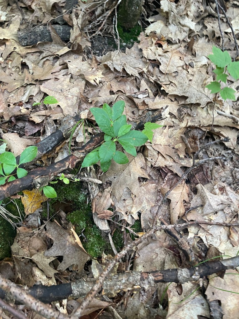
First up was Todd, which was about half a mile east of the junction at the top of the climb. Made short work of that and was able to find the summit after a bit of looking around. The views south across the valley were very nice – no views over towards Negus unfortunately.


Clark was a bit further away than Todd but it was a fairly easy, flat ish hike west. Towards the summit the trail became faint and difficult to follow. I located the summit (a nondescript area in the trees – no views), then tried to find the trail to no avail. I ended up roaming around the woods trying to find the route line on my map app and eventually stumbled upon the trail – a bit annoying but didn’t get into trouble so all good.

I made quick work back to the trail junction and the descent was pretty quick. I was pretty tired walking back to the car but overall feeling good about getting a couple more peaks done. This area is incredible and I’d highly recommend visiting.
Holt Hill
This one isn’t one of the 50 highest public peaks in MA, but it is a county (Essex) high point, and was on the way to a conference I was attending in Portland Maine, so I figured I’d make a stop to stretch my legs on the way.
It’s a pretty short hike from the parking lot, and despite it supposedly being a paid parking lot, the kiosk didn’t seem to be working. So I decided to quickly stealth it, and did a quick 30 min loop on some of the side trails. Pretty nice area and it was great weather after some pretty bad wildfire smoke which nuked my plans to hike Mount Grace (a fairly close peak in the 50 list) earlier in the week. I had also suffered a bit of a calf pull at the beginning of the week on a morning hike at Wachusett so it was good to get outside.

This one put me at 3/14 MA county high points and while it’s not super likely I finish that list (one of the peaks is on a US military base, so being a Canadian citizen I highly doubt I could get access even if I asked nicely), it was a great little evening hike. It was also my first hike in my new pair of trail shoes – my old pair of Bushidos were in really rough shape and I was glad to finally retire them.
That concludes Part 2 of Massachusetts hiking for the month of July. Part 3 coming soon!


