Not much to say for an intro for this week’s post – let’s just get into it!
Shaker Mountain and Holy Mount
After Perry Peak (covered in my previous post), the next hike was only 5 minutes away and would feature two peaks connected by a nice loop, with a pretty modest elevation gain of around 1000 feet. It is technically possible to link the Perry Peak hike with this one, but that would be a long day.
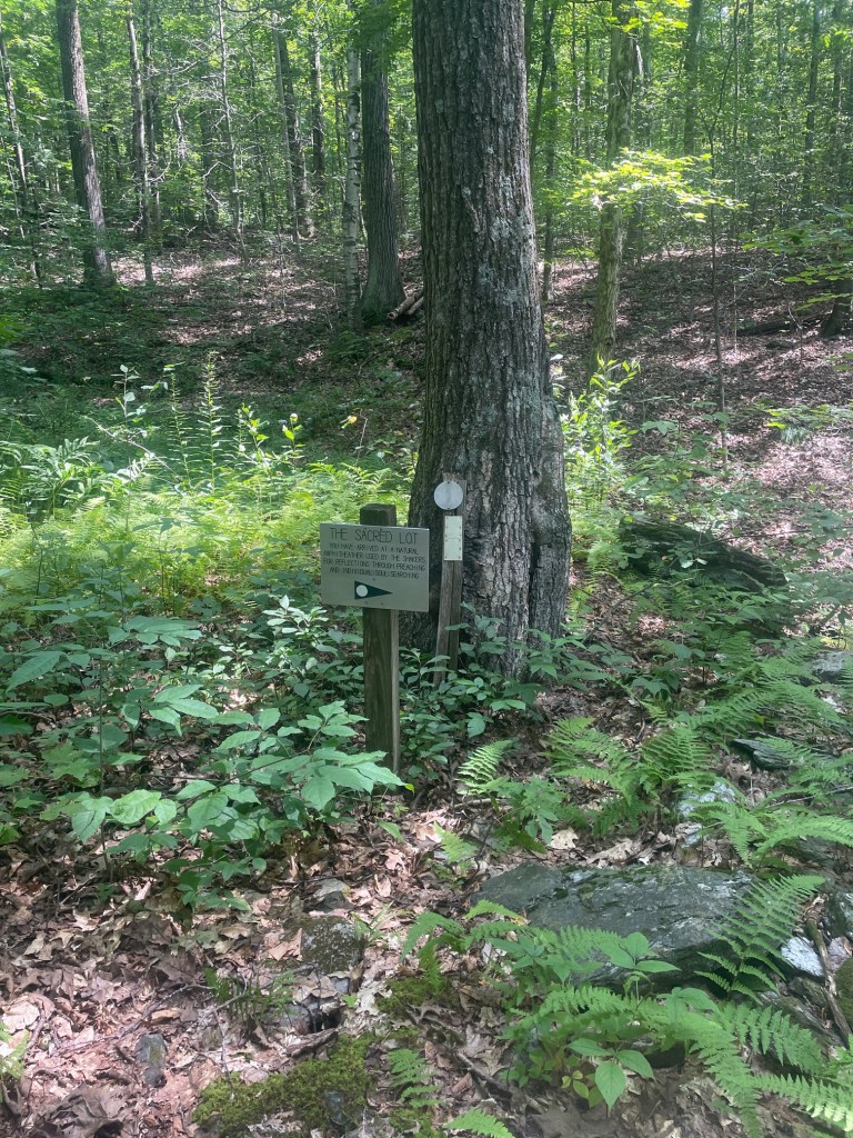
Shaker (and the second peak on this hike, Holy Mount) has a rich history with the Hancock Shaker Village, a former Shaker commune. Shakers are a restorationist Christian sect similar to the Quakers. The Hancock commune ceased to exist around 1960 and was sold to a local group who operates the area as an open air museum, which is part of the National Register of Historic Places. There remain plenty of historical artifacts across the slopes of these two mountains. While not religious myself (recovering Catholic), I was interested to learn about the history of the community.
After a quick warmup and refilling my water reservoir, I set off at a brisk pace. The trail started off pretty flat and passed by the Shaker Reservoir, which looked to me like a murky pond (this was previously used by the Shaker community), before crossing the Shaker Brook and winding east and north up the Shaker Trail. At the brook was apparently where the North Family dwellings were situated – only faint traces remained as the site was dismantled in 1867.
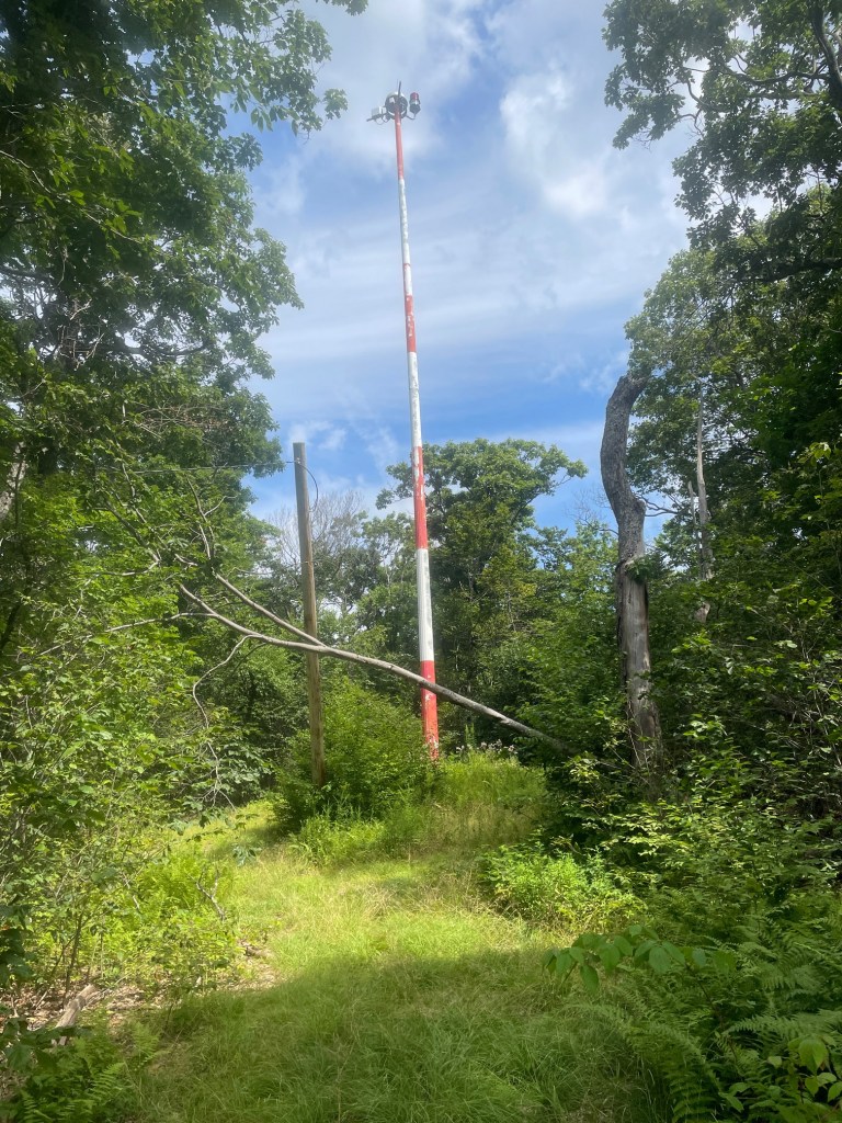
I noticed I could take a very steep straight shot (logging road) up to the summit rather than the winding Shaker Trail, so I did so. Near the summit was a large tower; I dipped down to reconnect with the Shaker Trail and proceeded northward. This area was once the Feast Ground or pilgrimage site for the Hancock Shakers, though not much stood out! Apparently back in the day non-Shakers were forbidden from entering this area. The geographic summit itself was marked by a small rock cairn about 200 feet east of the trail which required a fairly tame bushwhack.
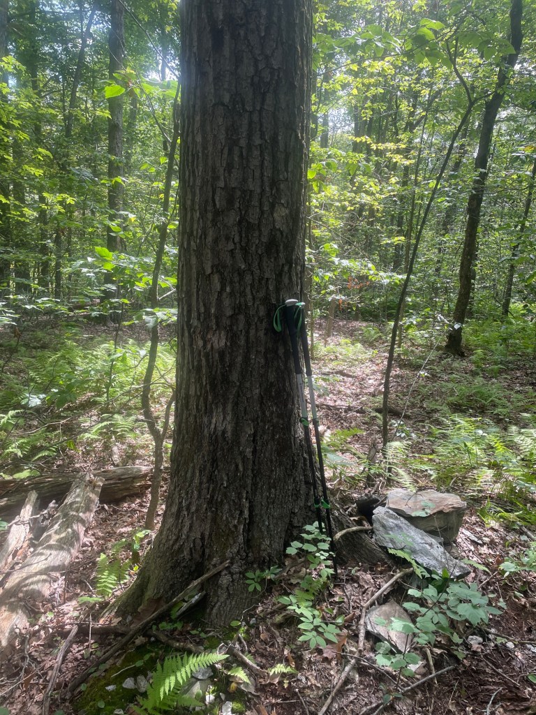
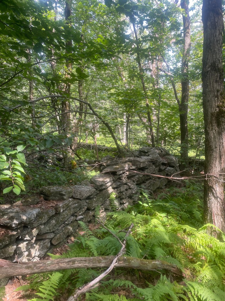
After Shaker, I bore north a bit before taking the westbound Shaker Brook Trail, which passed along the col between Doll Mountain and its south, taller peak, the latter of which was my goal. Doll Mountain South Peak is also known as Holy Mount and would be a fairly straightforward objective, my last of the day. Pretty fast travel here as well, though I began to tire a bit and opted to slow down to avoid any awkward missteps. The area of the summit was pretty cool, very serene spot. Definitely had a bit of a spiritual feel to it – Holy Mount was used by the Hancock Shaker community for religious ceremonies. Close by was a very meticulously placed stone wall.
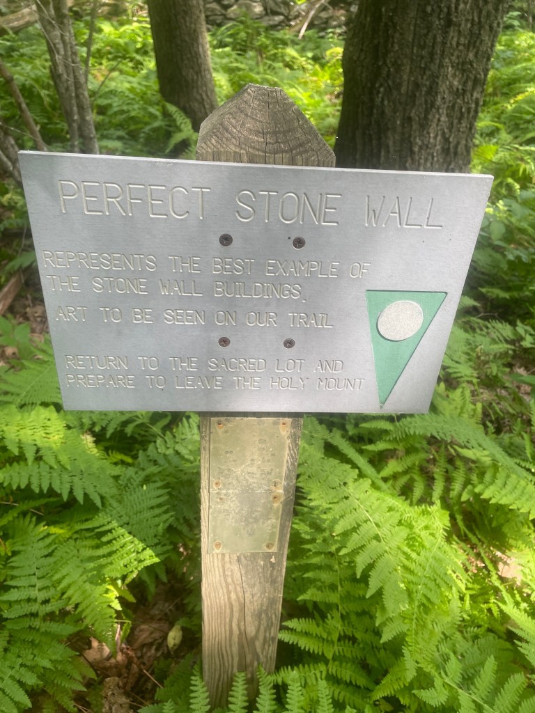
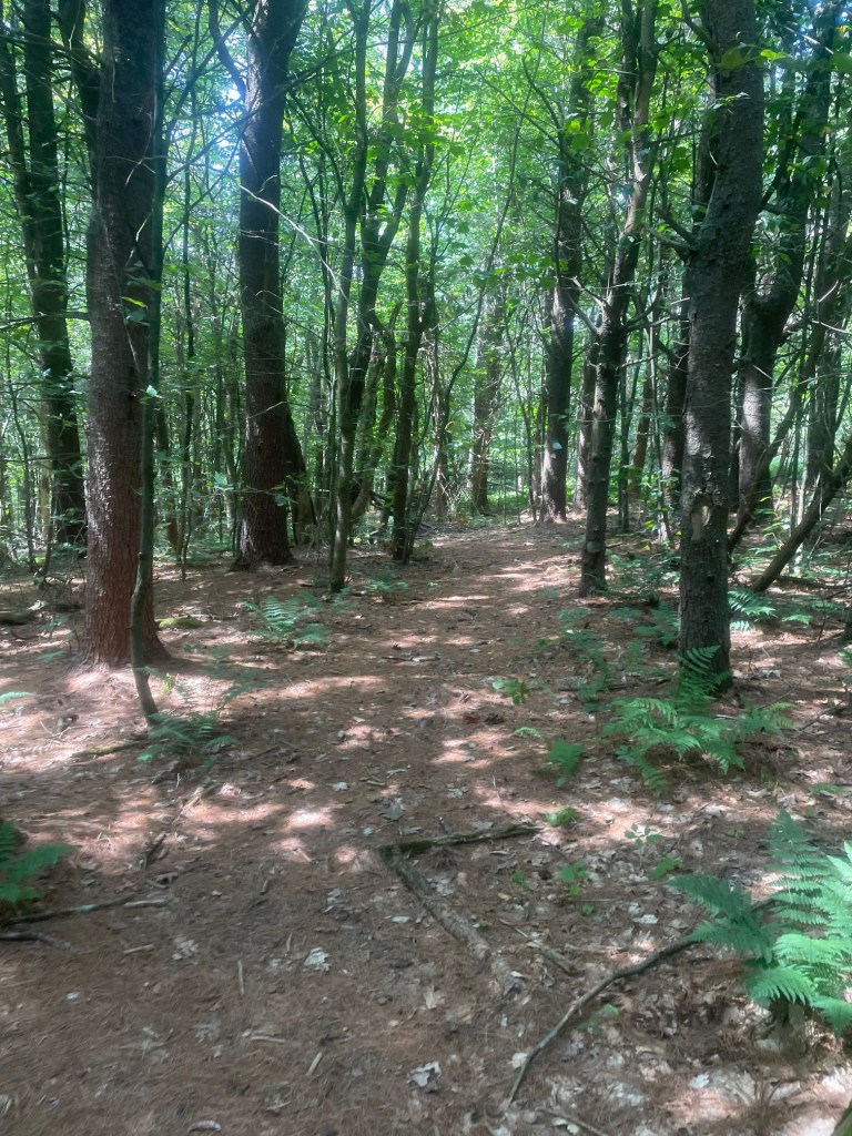
Descending back to the trailhead, the trail entered a section of terrain that once served as the Shakers’ amphitheatre. I had to navigate past some pretty heavy blowdown which covered the trail but had a smooth, fast descent back to the car. I ended up taking a dip in the reservoir (which might have been a no-no) to wash off the sweat from hiking and make my drive back a bit more comfortable. Solid day overall!
Hunger Mountain
The next set of objectives the following weekend were located in southwestern Massachusetts, and consisted of four peaks situated close together, done in 3 hikes. I decided to go with the shortest hike first, Hunger Mountain. This one would be one of the easiest on the list, with a modest 1.5km out and back route and less than 100 meters of elevation gain. Apparently, it was quite challenging at the top.
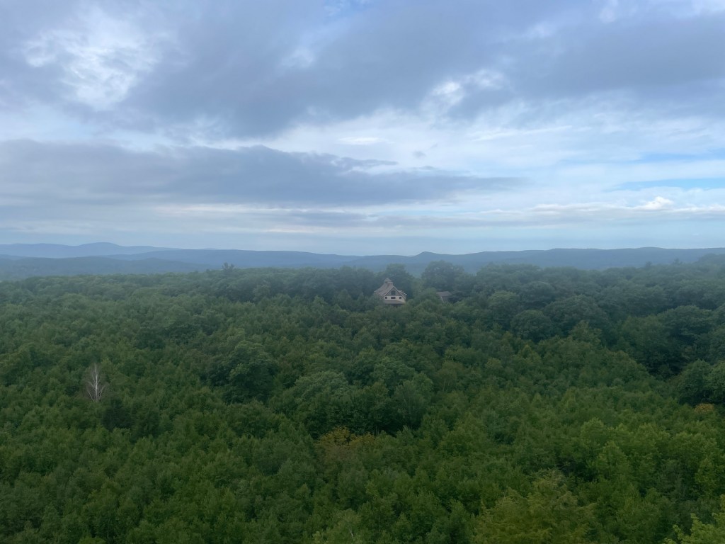
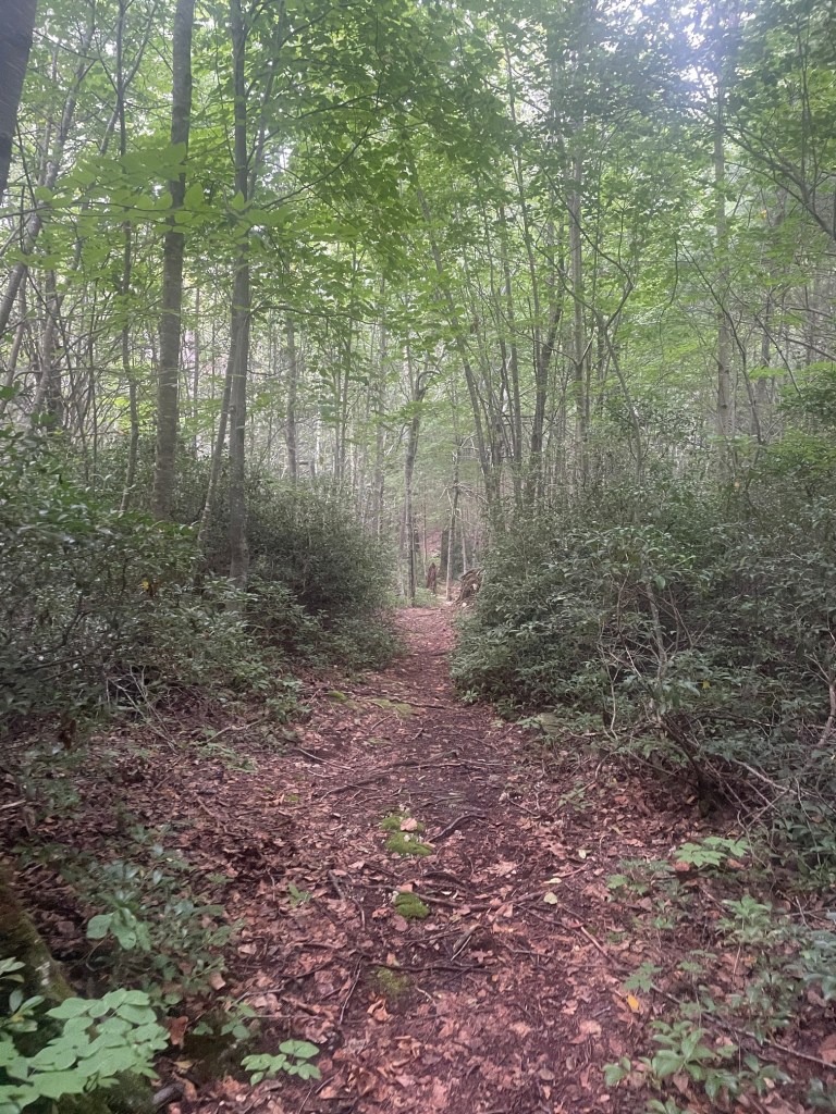
I parked at the trailhead on Hupi Road and got to the summit in less than 12 minutes. It was indeed quite steep towards the top, and a bit tricky with pine needles underfoot and not many rocks to grip onto (this was more of an issue on the descent). Great view! Once down the steep section, I jogged back to the car for a quick 26 minute car to car effort.
Peeskawso Peak
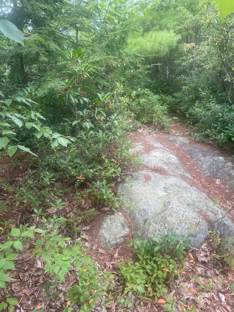
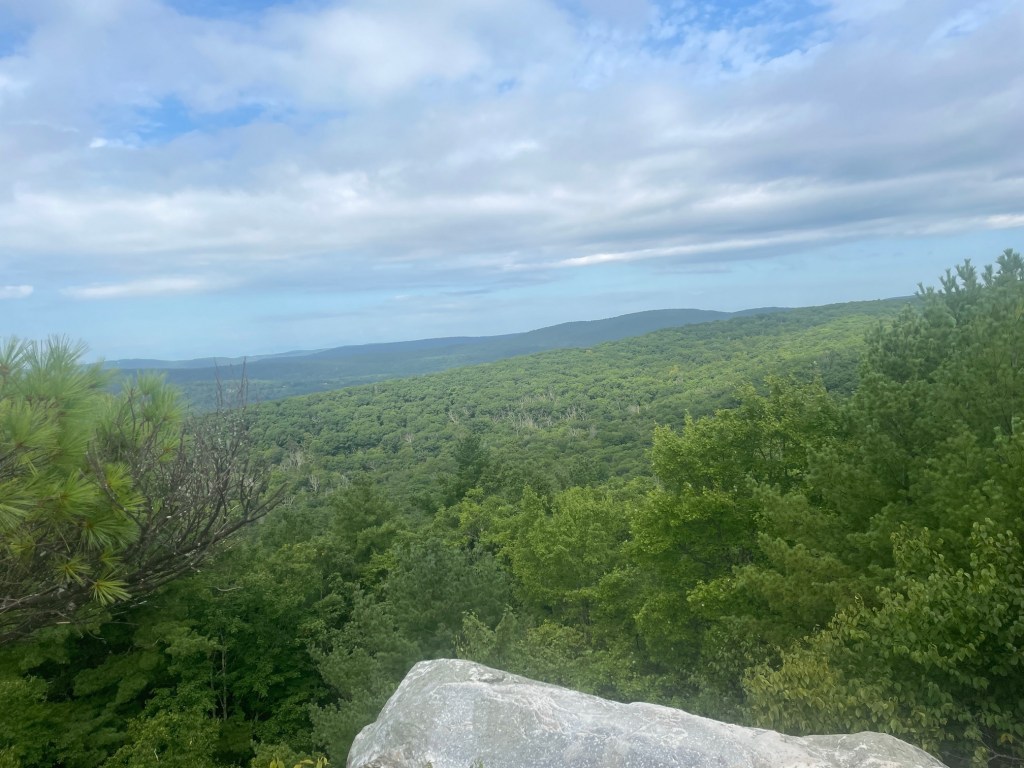
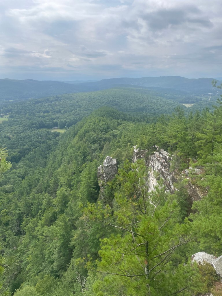
After Hunger, it was about 20 minutes to the Monument Mountain parking area, where Peeskawso Peak was situated. This peak is one of the busiest on this list of 50 peaks, but the lot was pretty empty when I pulled in around 9:30am. I planned to do a loop of about 4km which has a bit of a scrambly section at the top along with phenomenal views. Apparently the highest point of Monument Mountain is a bit further north, and, according to Patrick Browne, is inaccessible by trail, but upon getting home from the hike and doing a bit of “homework” to write this trip report, it looks like there is an unmaintained trail that gets close, but a small bushwhack would be needed. Maybe I’ll come back and explore this in the future! Momument Mountain and Peeskawso Peak are significant to the local Indigenous natives, the Mohican people.
This hike was super fun – I ascended via the steeper Hickey Trail which connected to the Peeskawso Peak trail near the top – a traverse of a quartzite ridge where there are signs warning people to be careful – apparently people have fallen off the cliffs and gotten seriously injured/died in the past. Really great views at the top and I made sure to stop by the Devil’s Pulpit – an interesting rock formation – though I lost the trail and had to bushwhack a bit to get back to it.
The descent was via the Mohican Monument Trail, which is longer and less steep, so I (probably foolishly) ran a good chunk of that. I say “foolishly” because I really suffered on the next objectives! I finished in just under an hour and the parking lot was completely full when I returned – it was a busy day and honestly it felt odd to see so many people on the trail – most of the MA 50 Highest Public Peaks are not popular or touristy.
Benedict Pond Peak and Wilcox Mountain
The third and final hike of the day would hit two more peaks, Benedict Pond Peak and Wilcox Mountain. Situated in Beartown State Forest, this is a popular area for paddling, hiking and camping. It was about 10 mins from Monument Mountain. I spent some time stretching and eating an early lunch before setting off. This hike would be long (10-11km) with a pretty modest elevation gain, but would still be tough given the two hikes I had done earlier in the morning.
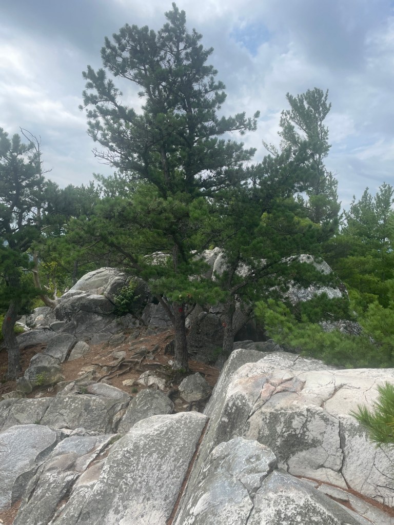
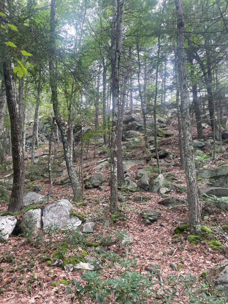
The hike started off easy on the Pond Loop Trail, which circumnavigates Benedict Pond, before departing onto the more rugged Beartown Mountain Trail, continuing north along the Lookout Trail. Benedict Pond Peak summit is deep in the woods just off the Wildcat Trail, a pretty rough trail that looked like a former logging road. The GPS coordinates marked a small rock which looked like a good candidate for the summit, but I found a larger boulder which was definitely taller and a bit to the north, so maybe it will get resurveyed (unlikely)?
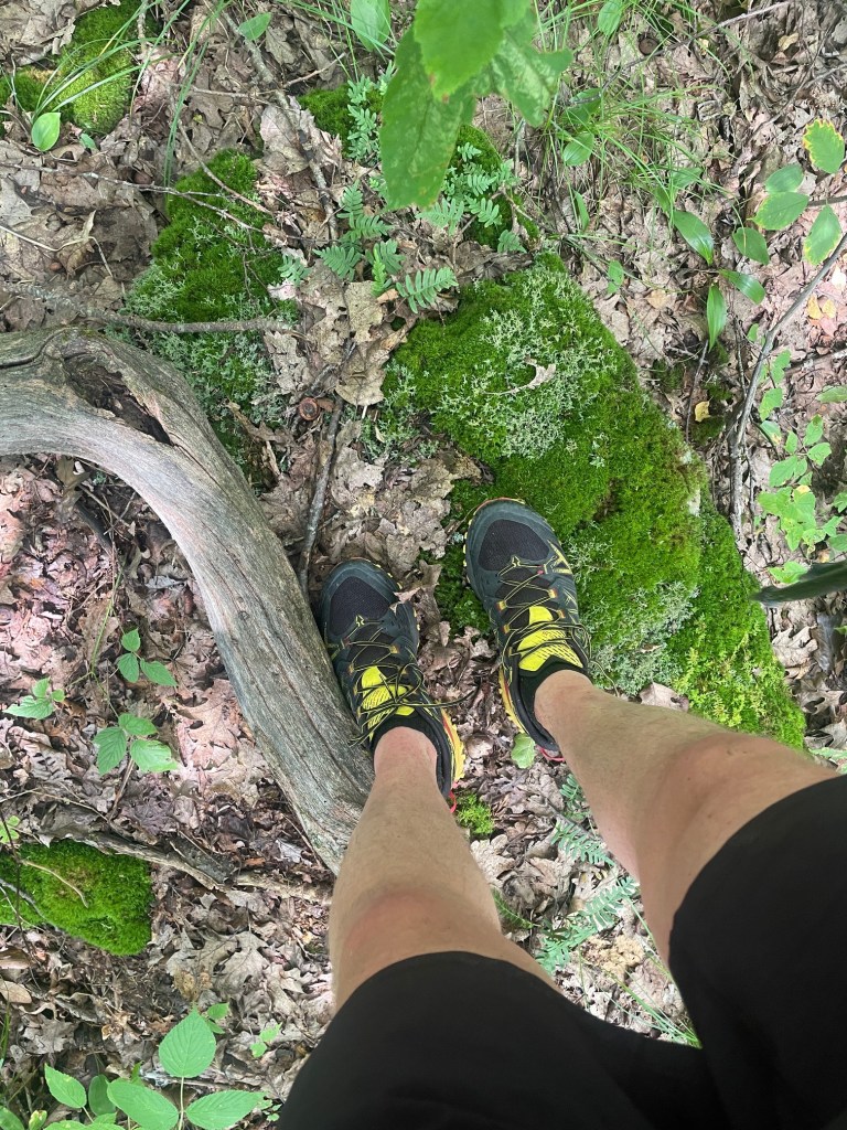
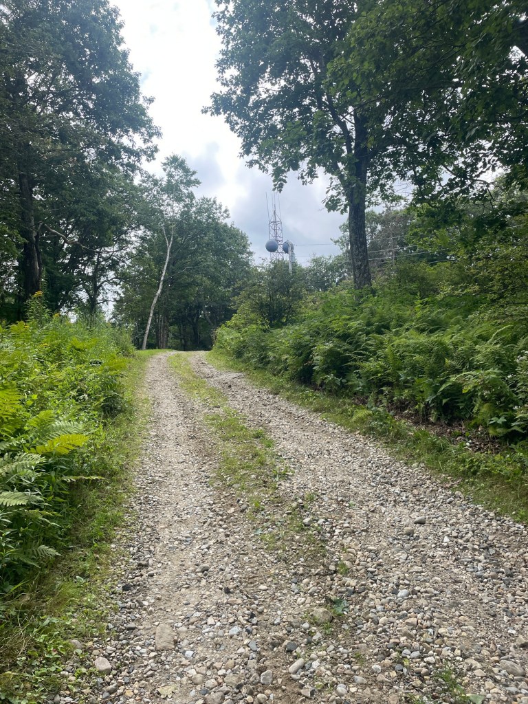
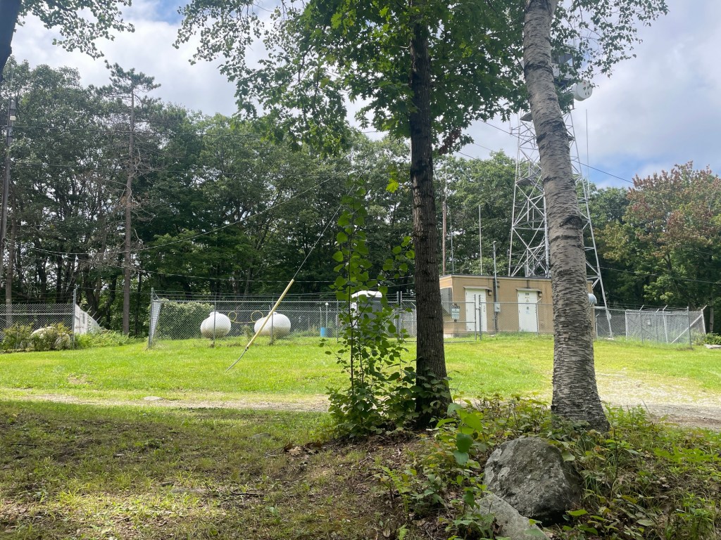
After making my way back to the trail, I continued east and south, where the trail became the Mount Wilcox Trail. Annoyingly, this trail goes nowhere near the summit of Mount Wilcox; the only way to get there was via a 3km approach on the gravel Mount Wilcox Road. I was pretty exhausted at this point and about one hour into the hike, I stopped for a break on the side. Several guys on dirt bikes came blasting by and I resolved to take out one earbud to be safe. The summit of Wilcox featured a fenced in fire tower, where the true summit was situated. I got as close as possible and was satisfied with that – trespassing was not an option.
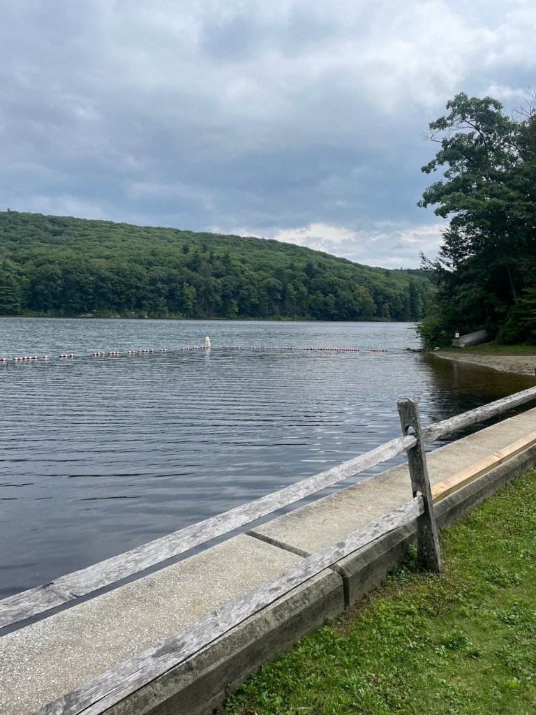
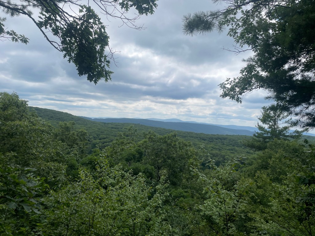
After a quick break, I began my return to the car. I had noted on my way up that the Appalachian Trail approaches within 70 meters or so of Mount Wilcox Road; a small bushwhack would be required. I was not fond of retracing my steps along the unexciting and painful gravel road and Wildcat Trail, so I opted for this. This made the return slightly more enjoyable, including a stop at a vista (The Steps) and traversing another section of the Pond Loop trail around Benedict Pond. My knee was pretty sore at this point but was otherwise still moving well, and finished in just over 2 hours 45 minutes including breaks. As is my custom, I took a dip in the lake before driving home (I had specifically selected Wilcox/Benedict Pond as my last peaks of the day for this reason). Definitely not my favorite hike on this list, though the AT section made it a bit more fun. If I was to recommend an approach for Mount Wilcox, I would definitely say to approach via the AT and bushwhack to Mount Wilcox Road (the opposite of my return route). One could also take the Mount Wilcox Trail and bushwhack east to Mount Wilcox, though the bushwhack would be longer and steeper.

 Veg 'n' Alpine