Entering August, I had completed 18/50 peaks on the list of Massachusetts 50 Highest Public Peaks. A little over a third of the way there, but I was getting into the more challenging phase of the list. Two areas (Mount Greylock and Mount Washington State Forest) have high concentrations of peaks on the list but are very long hikes.
I therefore decided to split this project into two phases. Phase 1 would handle the first 37 peaks, involving a lot of the shorter routes as well as standalone peaks, and Phase 2 would consist of the final 13 peaks over 2 hikes. Phase 1 was initially 27 peaks as I misidentified the location of one of the peaks I was saving for Phase 2 and it turns out that hike is short enough to be suitable for my strength and fitness for Phase 1. I also decided to break up a long point to point hike that was around 30km long and include those peaks in Phase 1.
Between the phases I planned to shift gears and focus on some easier 4000 foot peaks in Vermont, New Hampshire, and Maine (continuing to work on the NE 115) to bridge the gap in distance, elevation gain, and effort between Phase 1 and Phase 2. Phase 2 would be completed in October and November, with the final hike (on the Greylock massif) occurring on my 37th birthday (I made sure to create a route that was 37km long, naturally).
Round Top Hill
The rest of the peaks in Phase 1 are more in the southwest of the state, which meant my driving route would shift from the lovely (and now very familiar!) Mohawk Trail (shoutouts to the scarecrow on a tractor waving his hand to passing motorists, and the Little Red School, both near Charlemont) to the boring, fast, and expensive (toll road) I-90. If I have time to kill, I’ll probably just take slower free roads instead, but not fond of ponying up. Part of the reason I’m trying to be efficient on my trips out there!
Round Top Hill is also a Massachusetts county high point (Hampden), and is a pretty short hike, so I figured I’d do that one first on my way in early on Saturday. I stupidly booked an appointment Friday after work, so it wasn’t viable to drive up in the evening and bang this one out before dark. There are apparently two trails to the summit but neither are shown on OnX, so I was relying on .gpx tracks from Peakbagger.
I departed Worcester at 7:30am, now armed with my Roll Recovery R8 Plus Massage Tool for mid hike recovery. I had been bringing my foam roller on hiking trips to keep loose and limber (including before hikes) but it’s a pain to roll at trailheads. I saw this tool on social media and immediately thought it would be a great idea for hiking since I don’t need to lie in the dirt to use it. I hopped on the I-90 and got to the parking area near Round Top Hill at around 9am. The plan was to hike a bit on Round Top Hill Road for 650m to the trail, but the map at the parking lot indicated there was another parking area at the trailhead. I had another big hike planned later that day and since it was an official parking area, I had no qualms driving up the road. After a quick chat with a state trooper who was looking for “number 35” (they u-turned and left shortly after), I started up the trail.
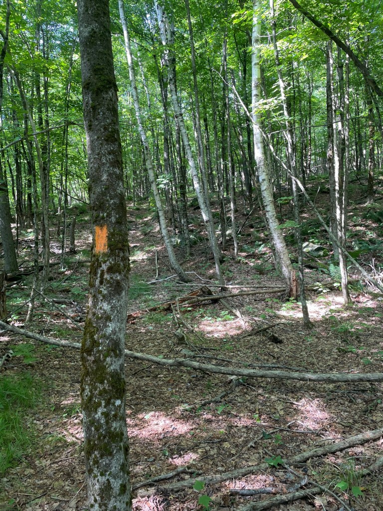
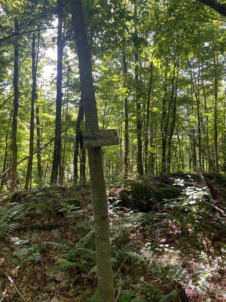
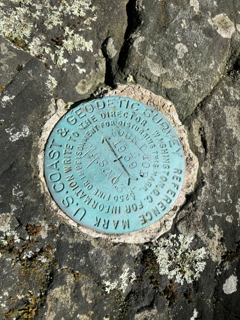
Short hike, but easy to follow the orange blazes. From the road it’s about 750 meters of distance and about 150 meters of gain so decently steep. It was also a bit slick due to recent rainfall during the week. I quickly got to the summit in just under 15 minutes, found the survey marker (these are actually quite rare in the MA 50 Public peaks) then turned around and got back to the car for a 30 minute C2C hike time.
Lenox Mountain and South Lenox Mountain
Next up was the biggest of four hikes on this trip – Lenox and South Lenox. I was initially planning on approaching from the south, but then I learned that there is a pretty cool and scenic ridge to the north called the Yokun Ridge, so I modified my route slightly to start from the north, giving me the option (2km add on to an 11km out and back) to hit the Yokun Ridge if I was feeling up for it. Ideally I’d hike this loop clockwise, but the end (descent to the trailhead from Yokun ridge) would be super steep and I wasn’t fond of hammering my knee like that after a long hike. So my decision to tack on the ridge would have to come immediately.
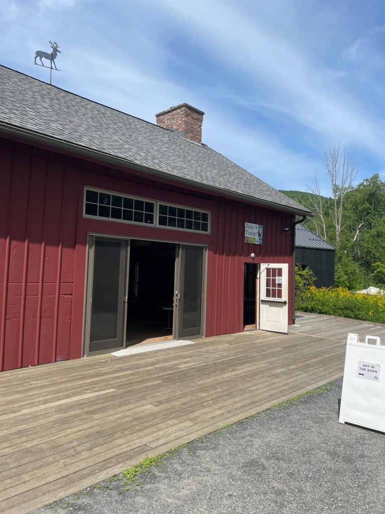
I pulled into the Mass Audubon Pleasant Valley parking area where the trailhead was situated – super cool nature area and would definitely recommend! They do encourage paying $5 to park which I was happy to do and support the great work going on there. After having my breakfast and topping up my water (the bird artwork they had on display in the barn was super beautiful), I loaded up my day pack with a ton of snacks, water, along with my Roll Recovery tool (yes I lugged this thing the entire hike) and set off along the All Persons Trail which linked up with the Trail of the Ledges.

Starting out on easy family trails, the route quickly started steepening. The climb up to Lenox was pretty tough especially with a heavier pack than usual especially given there were some slippery sections and areas where I needed my hands, but it wasn’t too bad.
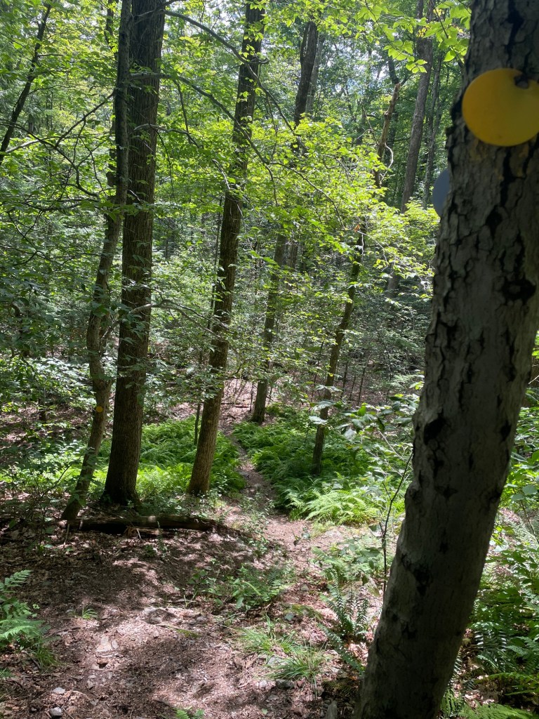
Approaching the summit, I encountered quite a few other hikers descending the other trail that comes up from Mass Audubon – the Overbrook Trail. At the top there was a fenced off tower; the true summit appeared to be a slightly higher rocky section just to its south.
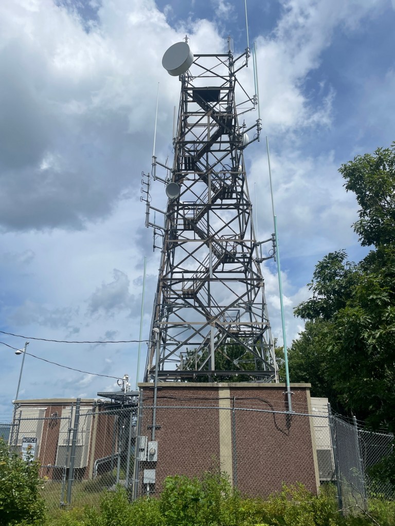
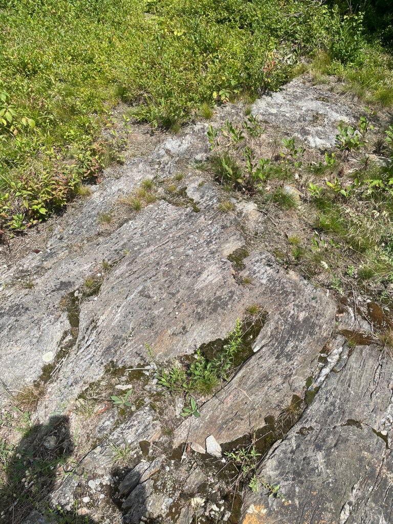
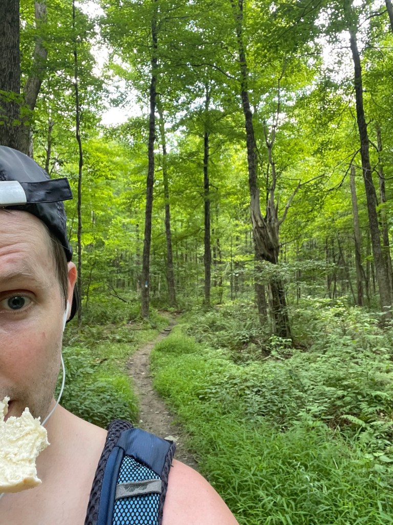
I took a long break here and ate a lot of food – I brought an entire six pack of cheese bagels up with me but had forgotten my hazelnut spread so it took a while to down the bagel – I ended up munching on it once I resumed hiking.
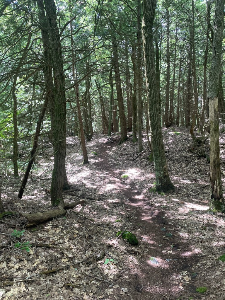
The hike over to South Lenox started off on the fun, long, winding Veda Trail that I was pretty sure was a mountain bike trail. This ran for about 3.5km before hitting a road, and took a break because I was really tired. South Lenox Mountain is not marked on a lot of maps (it wasn’t marked on OnX) and I wasn’t surprised the summit was another one in a nondescript patch of woods. But I was able to find it after a short bushwhack then it was time to return to the car.
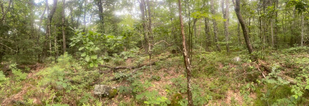
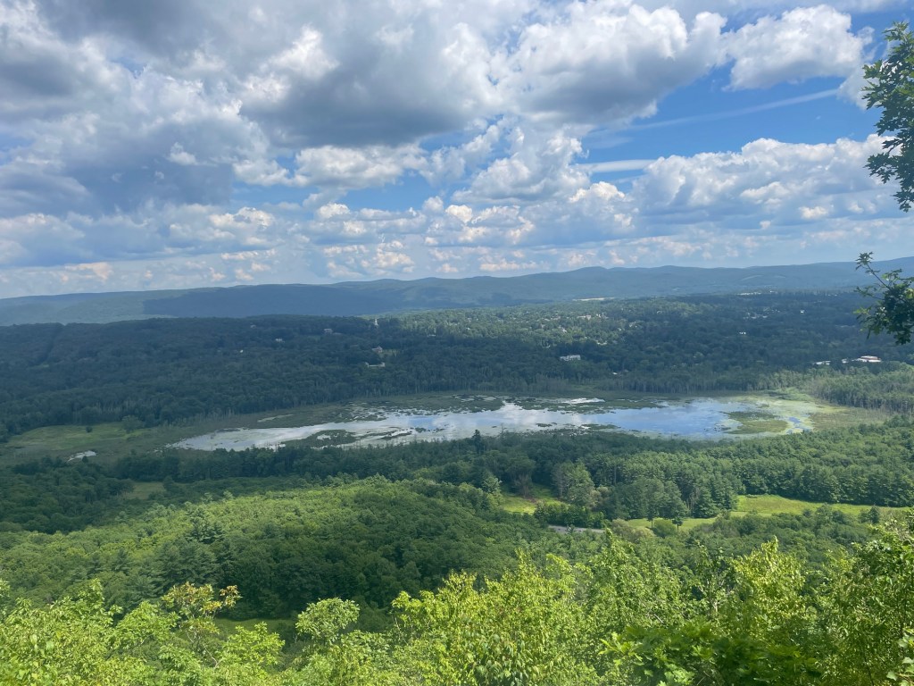
I made a pit stop at a nice vista at Kennedy Cliffs and got great views of the surrounding area, before taking another winding trail back to the road, with a short 800 meter final section on pavement (not a fan) back to the car.
Walling Mountain
My accommodations for the night were at the Berkshire Lake Lodge, which, conveniently, was steps from the Appalachian Trail from which the Walling Mountain trail branched off of. So I wouldn’t even need to drive to this one, meaning I could start bright and early. The downside is it added 2.5km to my route – this would now be a 7km out and back with a bit more elevation gain.
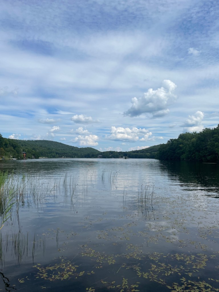
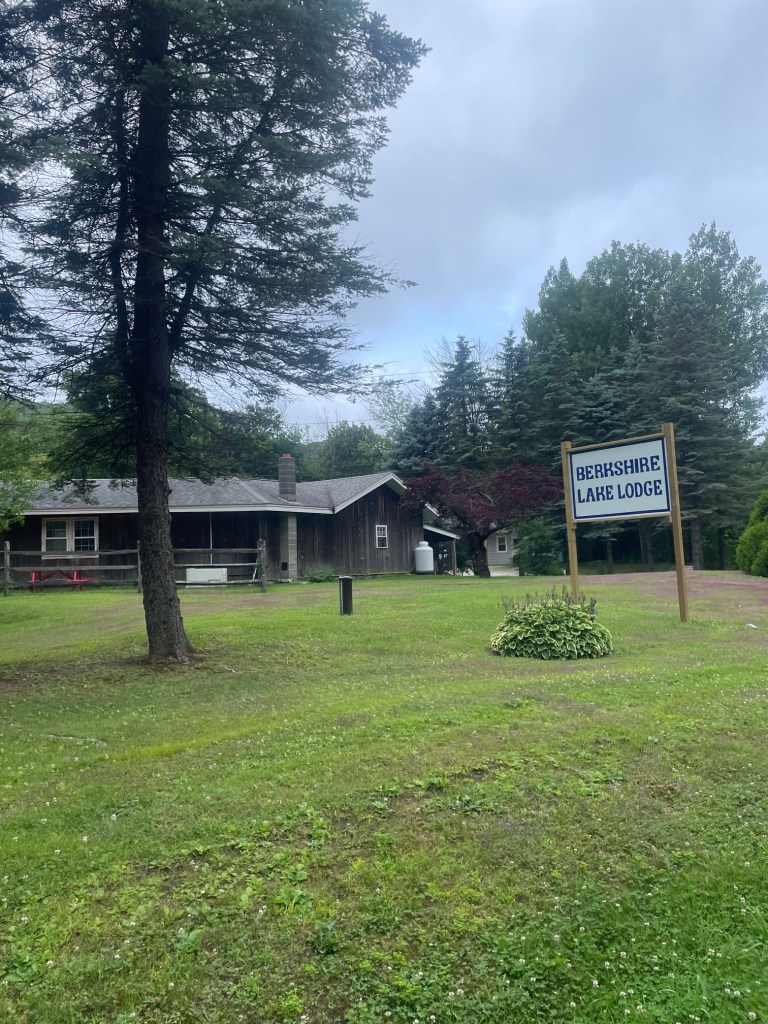
After a relaxing evening at the lodge (which had a lake, shame my shoulder was still a bit iffy so no paddleboarding) and a restful nights sleep, I was up and at it first thing in the morning. I had two hikes planned for the day and wanted to squeeze both in early and get back to Worcester before 1:30pm which was the last possible time I could squeeze in a contrast therapy (sauna + ice bath) recovery session at the clinic I go to. The plan was to hike Walling, return to the lodge and check out, then head over to Hunger Mountain which was a short ways away. I figured starting Walling at 6:30-7am would give me a couple hours to do it, then I could refuel and recover at the lodge before checking out.
The trailhead, just across the street from the lodge, was a bit obscured by the forest, but was able to find it and start hiking. The trail quickly merged with the Appalachian Trail and it was pretty easy, fast travel. It took about 20 mins to ascend to a subpeak, Becket Mountain, and I quickly carried on, passing some through hikers who were waking up in their tent.
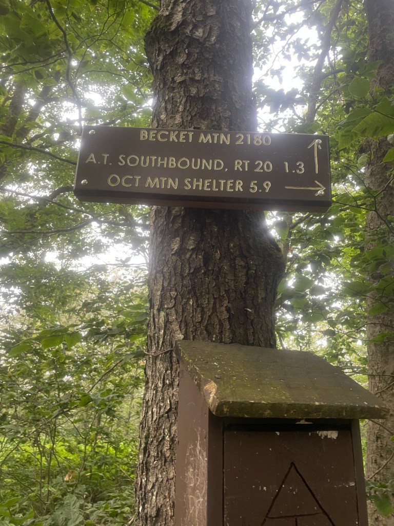
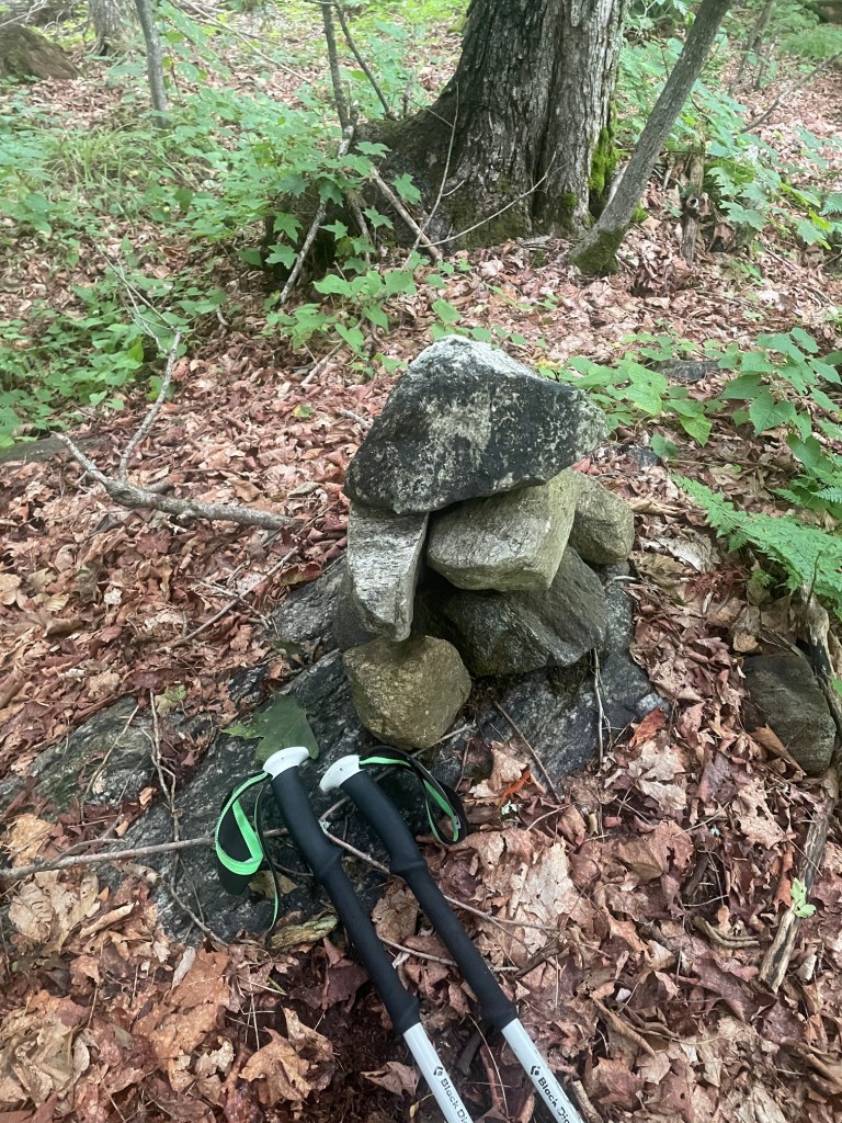
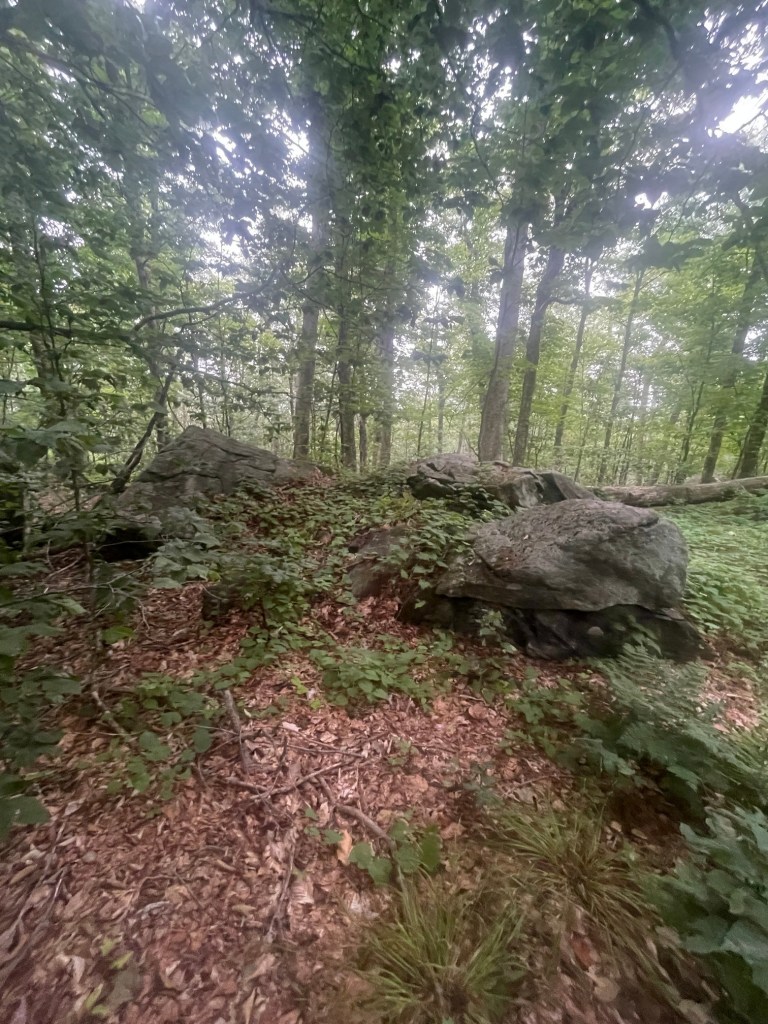
I reached the point where the trail most closely approached the summit of Walling Mountain, then stomped off through the brush to find the true summit. I found a cairn which lined up with my waypoint, but noted several large rock formations nearby which looked taller. So I hit all of them, sat down for a quick snack (the last half of the second cheese bagel I had started the previous day) and nibbled on it as I retraced my steps.
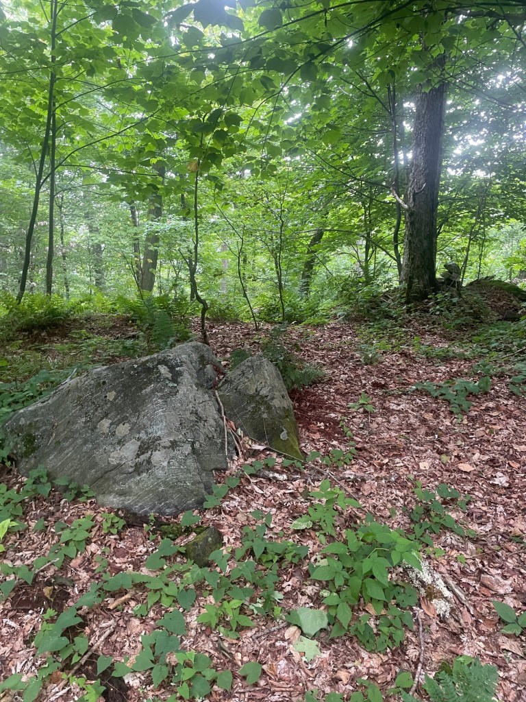
I ran into a lot of through hikers on my way back, including the couple in the tent I had passed – a bit surprised how quickly they broke camp, though I guess if you’ve been on trail for months, it becomes pretty routine) and had no issues getting back to the lodge. Was nice to not have to drive to this one! I took a quick dip in the lake and was sure to thank Peter for his hospitality, before taking off and on to.. the next (and last) hike of the day!
Gobble Mountain
This one was a short, steep and sweet. Gobble Mountain is one of the shorter peaks elevation wise on the list, but it, like a lot of its fellow “low” peaks, definitely offer great workouts. The trailhead is on the side of the road with no great parking other than the shoulder, so I pulled over as far as possible, did some quick massage to loosen up, then started out. I could already feel my legs and the toll I’d put them through thus far that weekend.
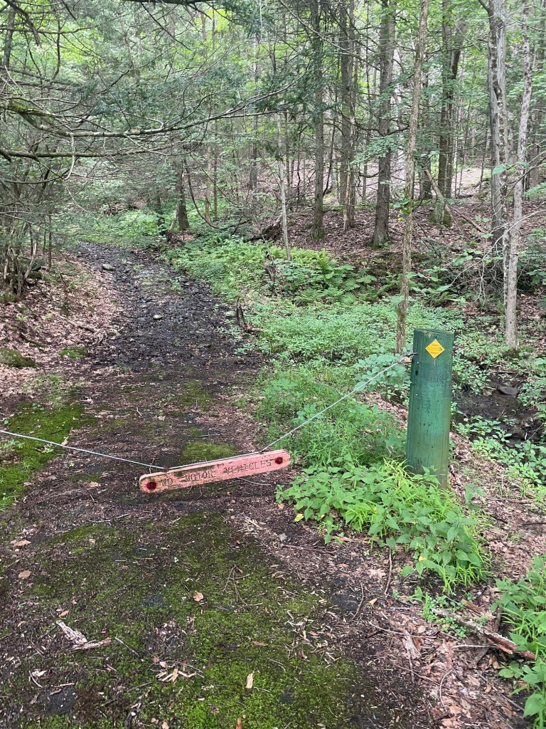
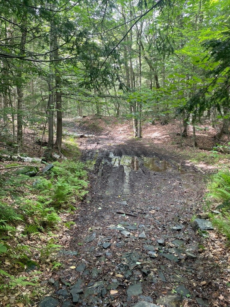
The hike up was quite steep, and was a mix of swamps and rocky terrain. The trail was quite wide and I immediately thought it would be a great place to ski if there was enough snow in the winter. The trail, though easy to follow, had no blazes, which became relevant later on.
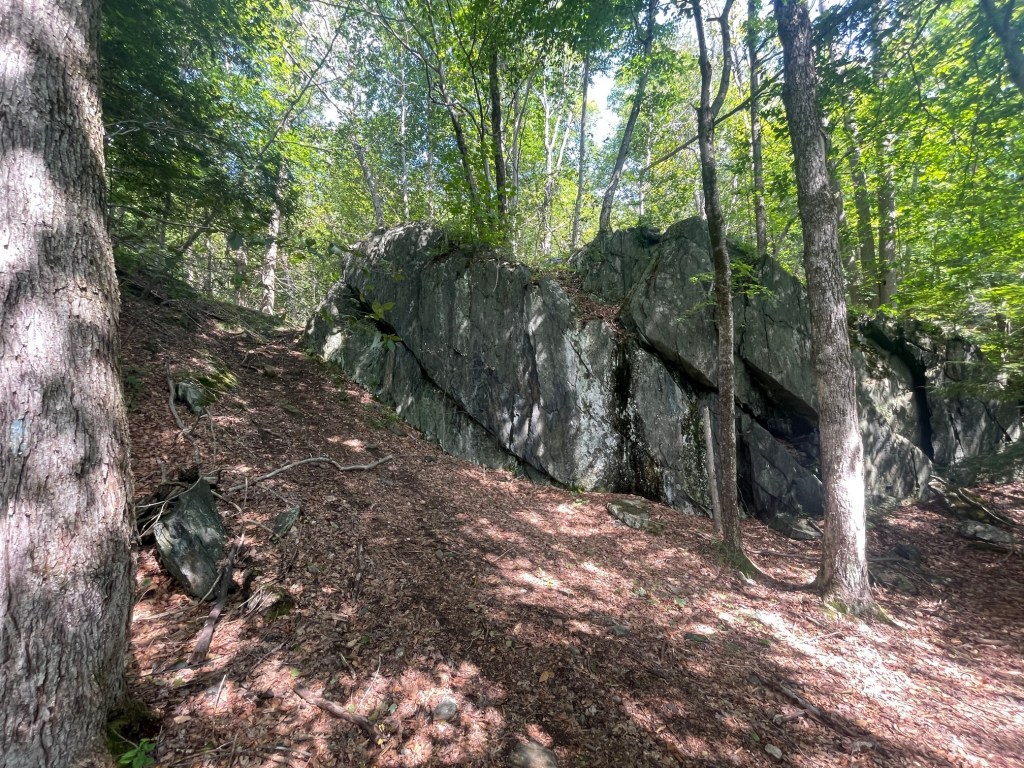
At the top of Gobble is a tower which people have climbed in the past, but the bottom ladder rung is about 12 feet off the ground and there’s no protection. So I opted to skip climbing it (would have been a decent view) and set off north a ways to a grassy knoll where the true summit was situated. After locating it, I immediately began my descent.
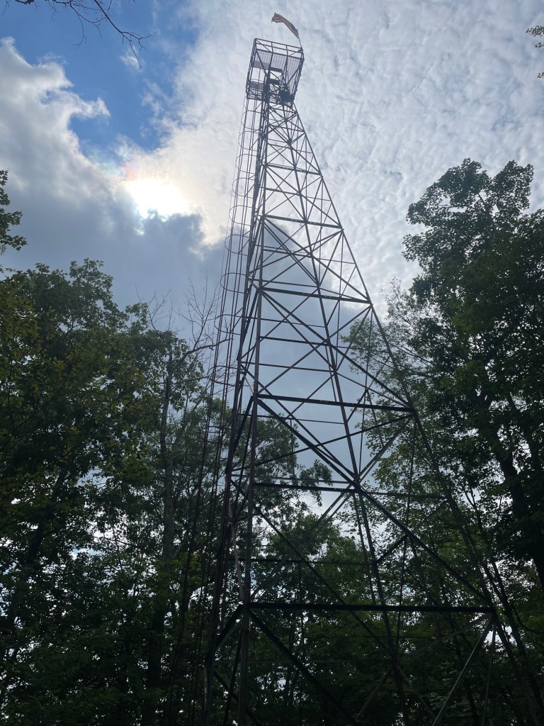
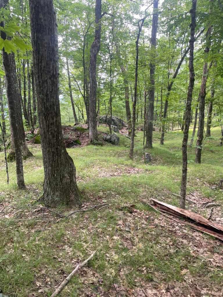
The descent was a bit slowed down due to a wrong turn which added about a kilometre to my hike, including a decent extra chunk of elevation. Turns out there’s another trail from the west which I took instead of the trail I came up (thank you lack of blazes) but I quickly got back on track. The descent was a bit tough due to the steepness and soreness in my legs, but I managed to finish in about 90 mins. Then it was a rush back to Worcester for a quick contrast therapy session (unfortunately shortened due to the wrong turn).
Perry Peak
In mid August when I was looking at my planned peakbagging schedule for the month, I realized I had miscounted and there was one lonely peak, Perry Peak, which stood alone in the far west of the state that I had missed when planning out my hikes. I realized my mistake – I had marked Mount Frissell (part of a massive 38km, 6 peak hike in the far southwest of Massachusetts) as a peak I hadn’t hiked yet, when I had hiked it back in October 2025. Thus I added an extra hike day to tackle Perry and also take on a couple neighbouring peaks which I had initially intended for a long 30km point to point hike. That point to point ended up being scrapped and split out into several smaller, but lengthy loop hikes to be done throughout August.
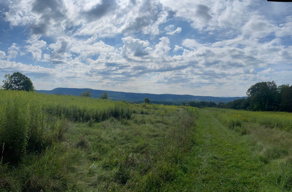
I pulled into the Hollow Fields trailhead just after 8:30am. Really pretty area – great views of Lenox Mountain and Yokun Ridge where I had hiked a couple weekends back. My plan was to hike a loop trail but at the trailhead, there was a notice that said one portion of the trail was closed due to it being on private land, so it would have to be an out and back. After a lengthy warmup and ensuring I was well hydrated and fuelled (I bought a 2L water bladder recently so I could hydrate on the go) I set off just after 9am.
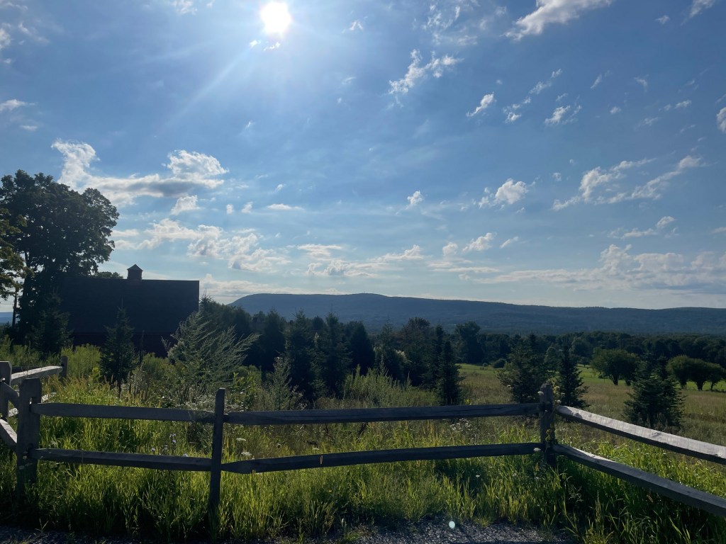
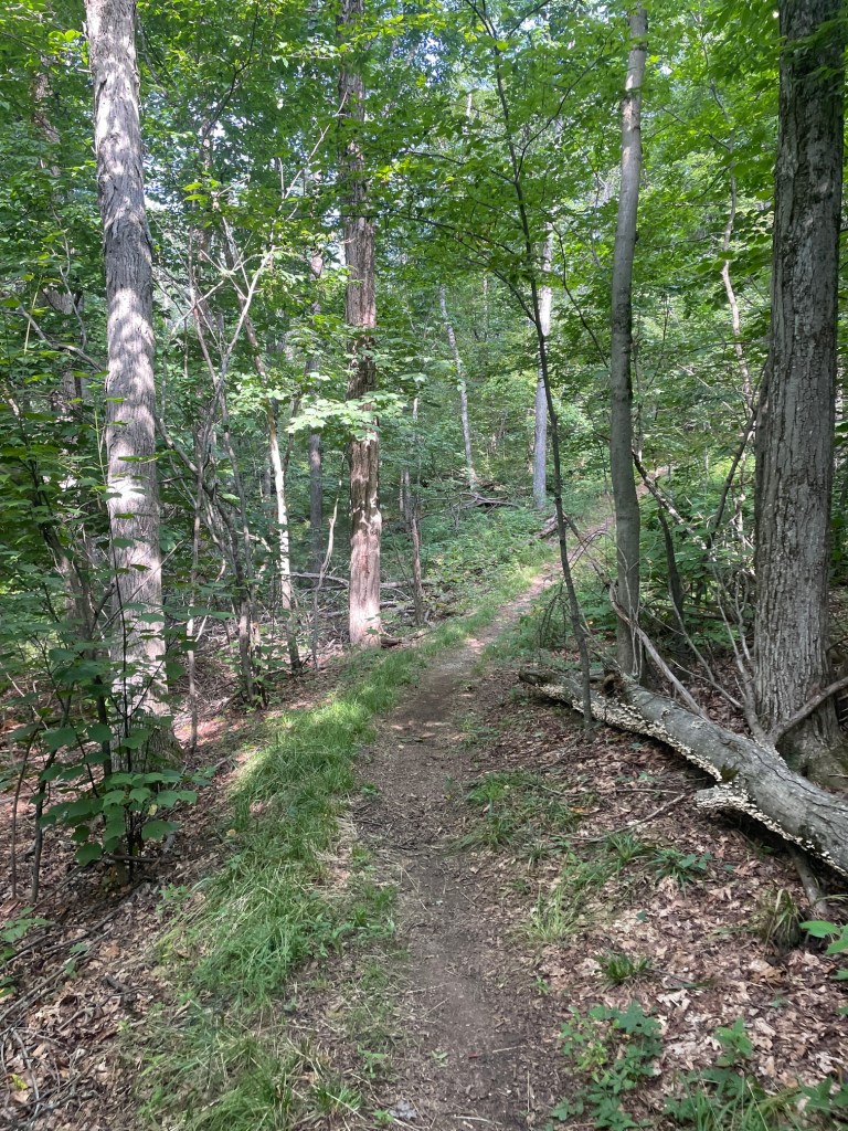
The trail started on a grassy field, and it got quite hot with the sun out, but the trail eventually entered the woods. It was a fast 35 min climb up to the summit, not a lot of elevation gain and I ran part of it. There was a vista partway up but not the greatest view towards New York.
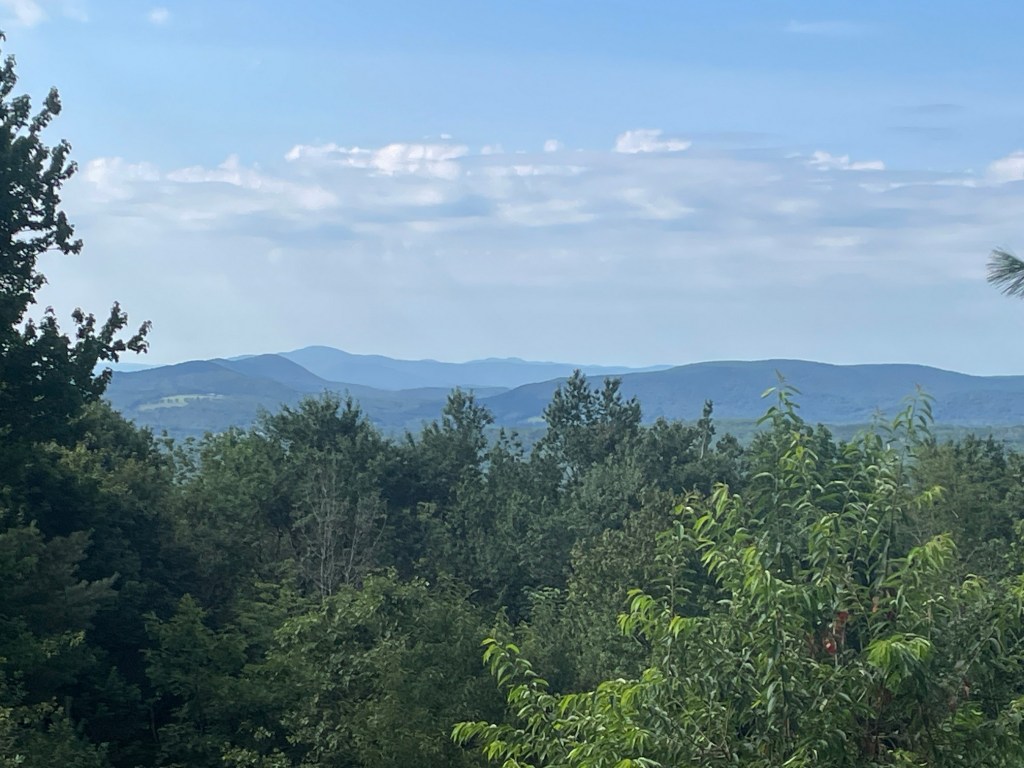
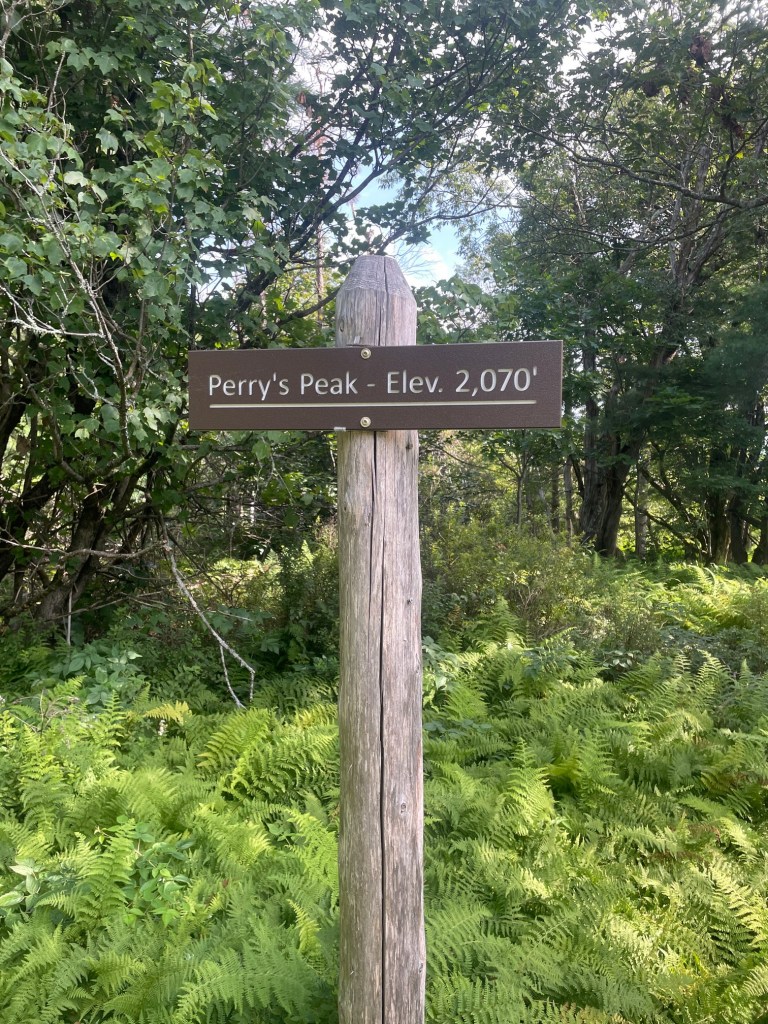
After a quick break at the summit, I began my descent, which, thanks to the relative smoothness of the trail, was almost entirely ran. It felt really good getting the opportunity to go a bit faster, thankfully I had been practising at Wachusett a couple times per week. Finished up in just under 1 hour 10 mins over 6.2km, a fast and fun little hike. After a quick mobility session and refuel, it was off to the next hike and peaks of the day!


One thought on “Massachusetts Peakbagging (August 2026, Part 1)”