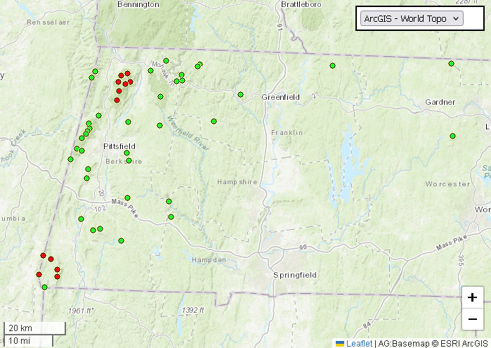
Bit of a weird post title this time. This post covers the final hikes in Phase 1 of my MA 50 Highest Public Peaks project, and I had one hike in September to round it out. So, rather than make another post for September and to keep things together a bit more, I combined August and September. This will be the final post for the overall project until October/November, when I hope to do the last two hikes (and 13 peaks, 1 of which I have already done) which will complete the full set of 50.
Misery Mountain North Peak and Misery Mountain
Initially I had identified this hike to be about 22km in length, with over 1000 meters of elevation gain. A bit too crazy for Phase 1 of this project. Then, in early August, when I should have been in bed to get sleep before an early morning Wachusett spin the next morning (I postponed it – sleep is important), I discovered that OnX had labelled Misery Mountain differently than Patrick Browne (the architect of the 50 Public Peaks list). The Misery on OnX was NOT the highest point on the Taconic Ridge, that honor belonged to an unlabelled point about 13 meters taller and 4.5km (as the crow flies) to the northeast. That high point also matched with the GPS coordnates on Peakbagger. Thus, I added this hike to Phase 1. The hike would now be about 10.5km and 635 meters of elevation gain – the most intense of the hikes I’d done so far (next to the Lenoxes) but still very doable for where I was in my return to my fitness and strength.
Two days before the hike, I suffered a mild strain of my left tibialis anterior (the “shin muscle”) during an aggressive morning trail run at Wachusett. Very odd issue that I hadn’t experienced before, likely from taking longer strides while running downhill. I got the area looked at by my physiotherapist and massage therapist (thankfully had appointments lined up with both already that afternoon) and they recommended to rest and tape it, along with playing the weekend hike by ear. It improved a lot and I decided to go ahead with my plans for the Miserys, though I decided that I wouldn’t run any part of the hike.
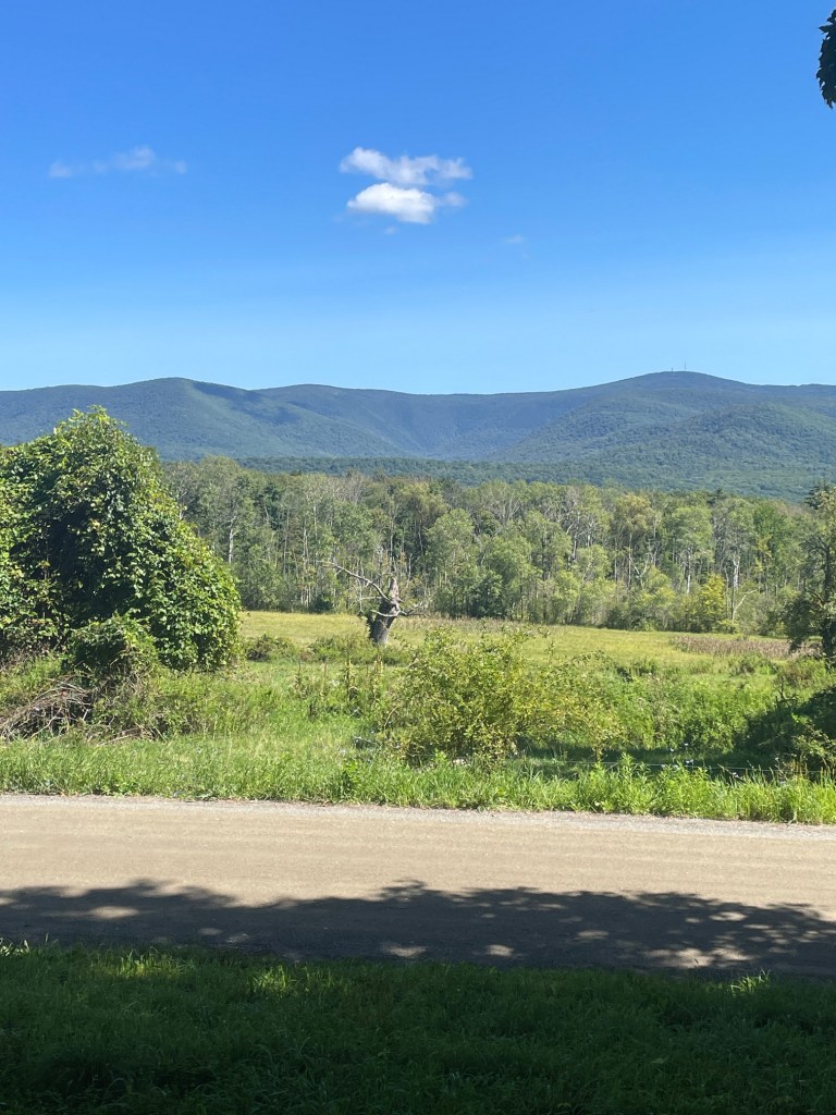
I opted to drive to the trailhead via the Mass Pike which was a bit faster at the cost of a toll. The route was interesting – I dipped into New York for about 10 mins before arriving at the Phelps Trailhead, situated on Oblong Road. Across the way were magnificent views of the mighty Mount Greylock. I spent about 30 mins warming up (including a few bursts of moderate jogging) just to make sure all my muscles and joints were ready.
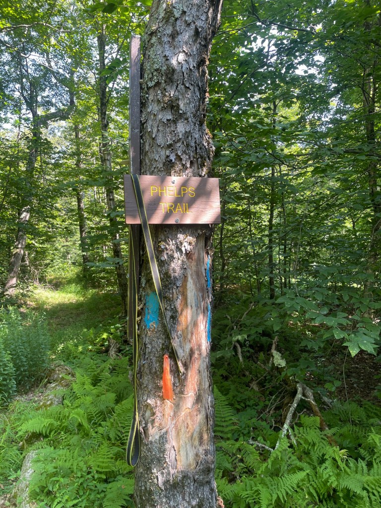
The hike started off with a steady two mile climb up to meet the Taconic Crest Trail, a pretty epic 50 mile trail that runs along the MA-NY border. I kept a good consistent Zone 1-2 pace all the way up and felt really good. Upon reaching the junction, I hung a right and headed north towards my first summit of the day – Misery Mountain North. The summit was just off trail in the woods but Patrick Browne’s website indicated the summit was right on the trail. In addition my GPS was going haywire so I quickly gave up trying to find the exact coordinates.
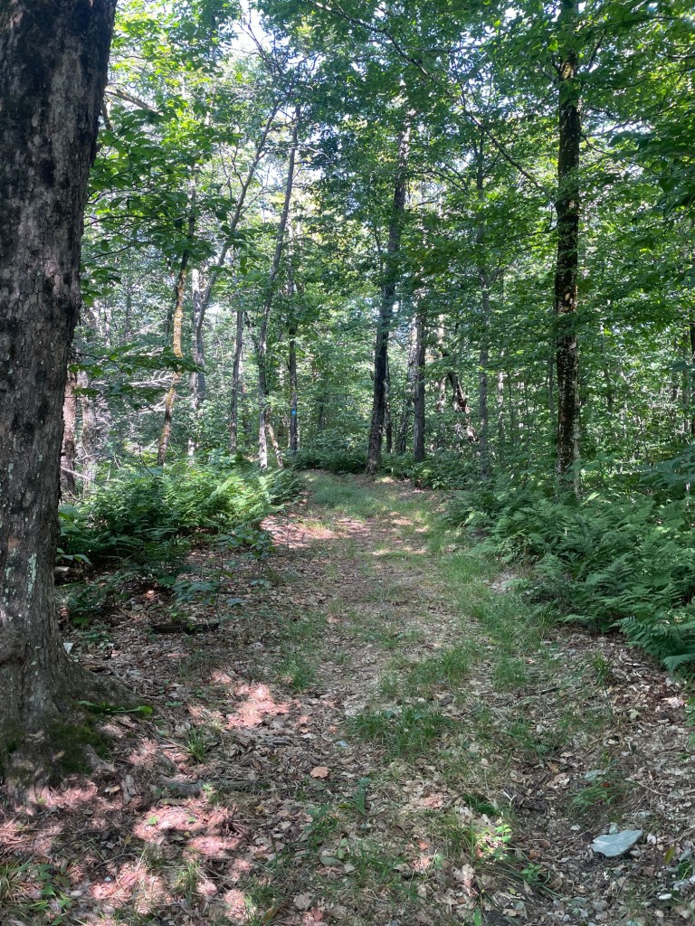
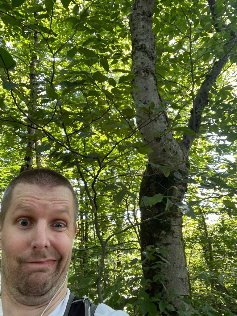
The trek over to Misery Mountain’s main summit (south of its North peak and also the highest point on the Taconic Crest Trail) was really quite pleasant. While entirely wooded, there was still lots to see as I traversed through the forest along with the occasional meadow. After reaching the junction with my planned descent trail, the Mills Hollow Trail, the incline got fairly steep once again as the TCT ventured into the state of New York. I reemerged into Massachusetts just before the summit, where I took a long snack and hydration break. The summit, like its northern neighbor, was also wooded and situated in the middle of the trail.
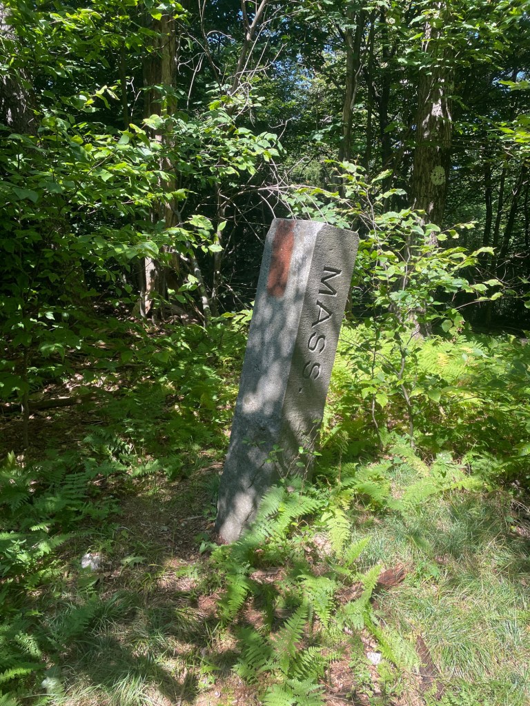
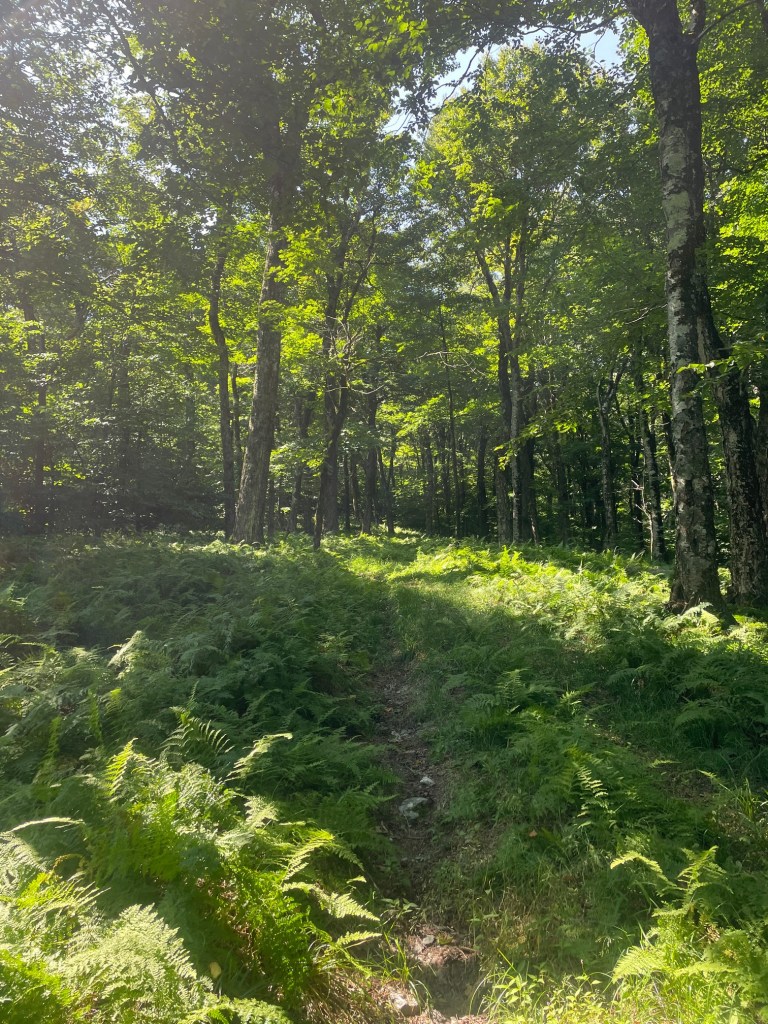
The descent back to the car was long and tiring. This hike was at the time the one with the highest elevation gain (and loss) on the list of 50 and I could really feel it as I descended the Mills Hollow Trail. That said, it was a very easy trail to walk on, no terrain obstacles like roots and big rocks to contend with. I was pretty relieved when the trail opened out onto a big field which was separating two private properties (trail was on public land!) but then it was a fairly long gravel road walk back to my car at the Phelps trailhead. All in all, a fun hike and definitely one of my favorites so far on this peakbagging list!
Potter Mountain (Widows White Peak)
This one is listed as Potter Mountain in the official peakbagging list, but OnX Backcountry lists the peak as Widows White, with Potter Mountain sitting some 60 meters or so lower in elevation, about 400 meters to the southwest.
While the peaks discussed in this post were hiked on two different days (Widows White was done by itself after the Miserys), one can technically link all of them, along with Shaker Mountain and Holy Mount, in one monster point to point hike over 30km in length. I was originally planning on tackling all eight of these peaks in this manner until I decided to split it up. The last set of 5 peaks of that group would be coming up the following weekend.
After a big lunch at the trailhead after finishing the Miserys, I was back in the car for a short drive up to the Jiminy Peak area. Widows White is the tallest point in the immediate vicinity and can be approached in two ways. The first, and most common, is to ascend the ski slopes at the nearby Jiminy Peak resort, and bushwhack over to a dirt bike trail called the Taconic Skyline Trail, before bushwhacking to the summit. The second way, and the one I opted for, was to take that same dirt bike trail all the way up. The trailhead was at the side of Brodie Mountain Road, with barely enough space to pull over onto the shoulder. The trail wasn’t even marked!
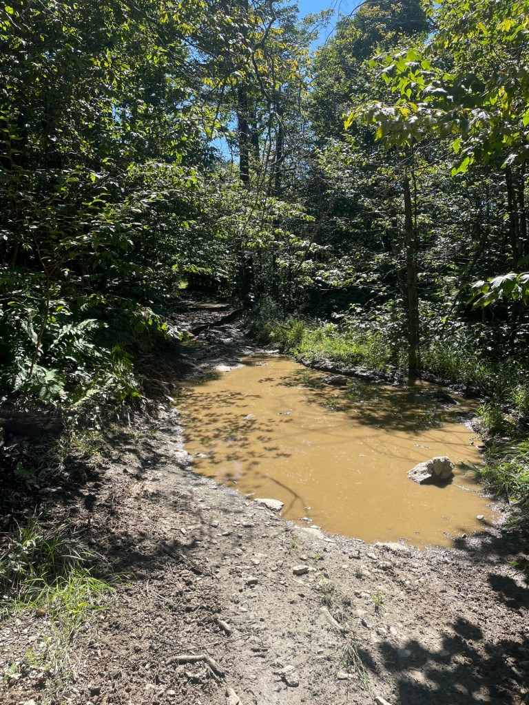
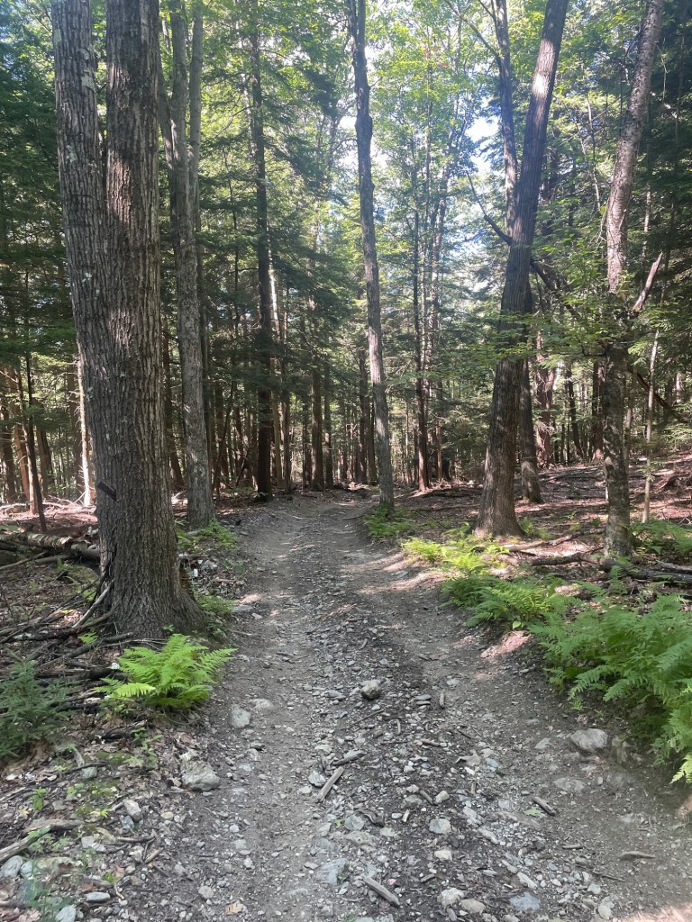
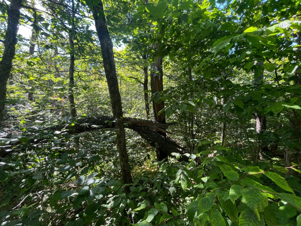
Pretty smooth going up the trail. A bit rugged but pretty easy travel. I did encounter a couple of dirt bikers on my way up, so the trail definitely gets some use, perhaps not so often by hikers. I quickly made it as high as possible on the trail, then set off eastbound into the brush to find the summit. This bushwhack was long, close to 350m in length, and also gained a fair amount of elevation. I got pretty scratched up by the brush which also tore the KT tape off my leg, but otherwise no issues. I found the summit, snapped a couple photos then returned the same way I came. Unlike the Miserys, definitely not one of my favorites!
Pine Mountain and Smith Mountain
The next hike was my biggest day on trail in close to a year – a massive route covering five more peaks (interestingly, all roughly the same height, with the difference between the highest and shortest being only 120 feet) and nearly 20km in length, though with a fairly modest 740m of elevation gain. Still, this would be a big test for my knee, along with my fuelling, pacing and mobility strategies. I planned to bring my 30L day pack for this one (a bit overkill, but I was able to bring lots of food as well as my Roll Recovery massage tool for some mobility work).
There are lots of ways to approach this hike; I opted to start at the Lulu Brook trailhead in Pittsfield State Forest. There are a lot of interesting trails near here, including some ski trails (Ghost and Shadow) which I was hoping to check out but it would have added some extra mileage. The route was a loop going clockwise (with northern and southern out and backs to hit two of the five summits). After warming up, prehydrating (I was only planning on carrying three liters of water) and loading my pack (it weighed 19 pounds at the start), I was off.
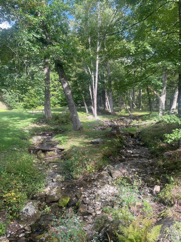
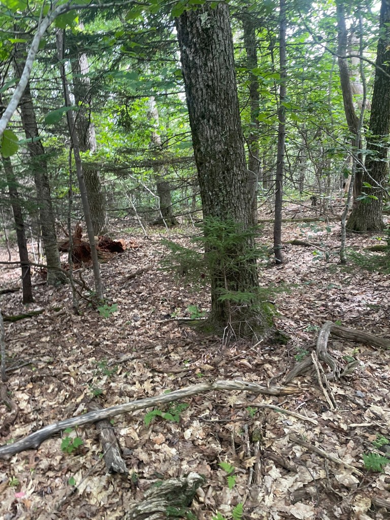
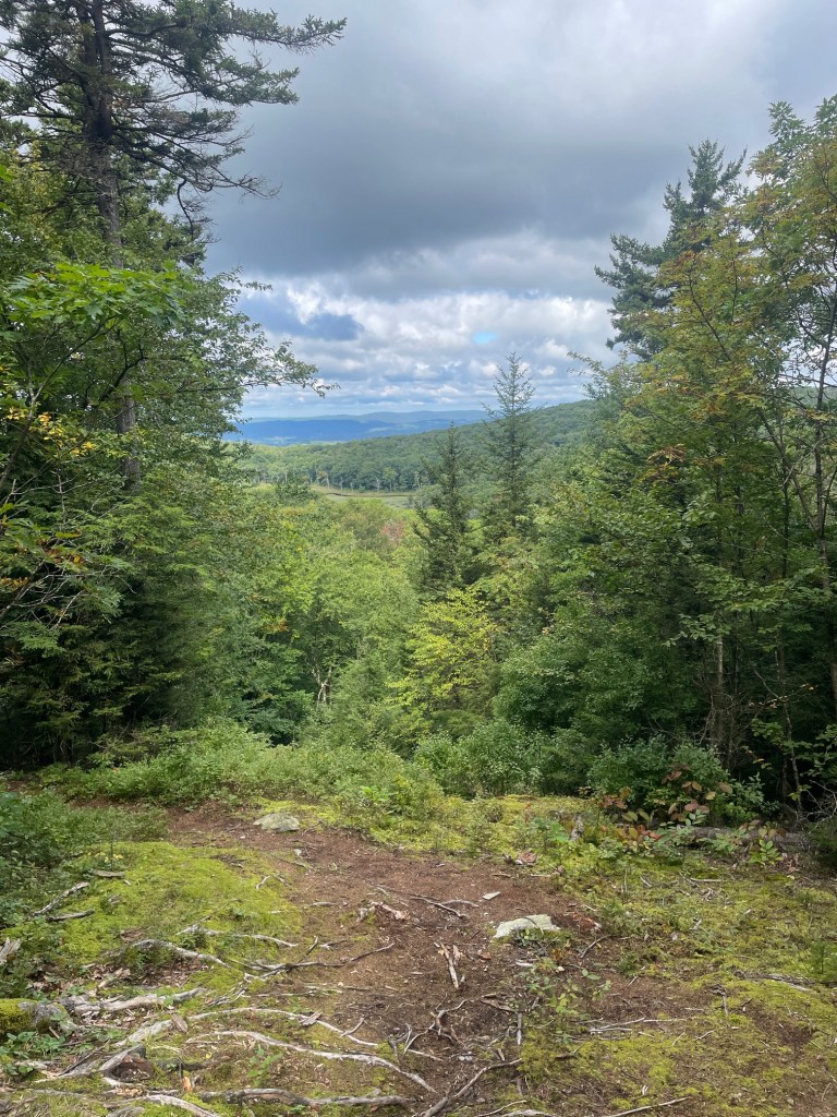
The first part of the hike, the main ascent portion, turned out to be the nicest trail I took the entire day, the Hawthorne Trail. Relentless climb, but still pretty fun. I reached the summit of my first peak of the day, Pine Mountain, in about 48 minutes. The actual summit was just off trail so it required a short bushwhack (the first of many..). Leaving the summit, great views were had looking northwest into New York.
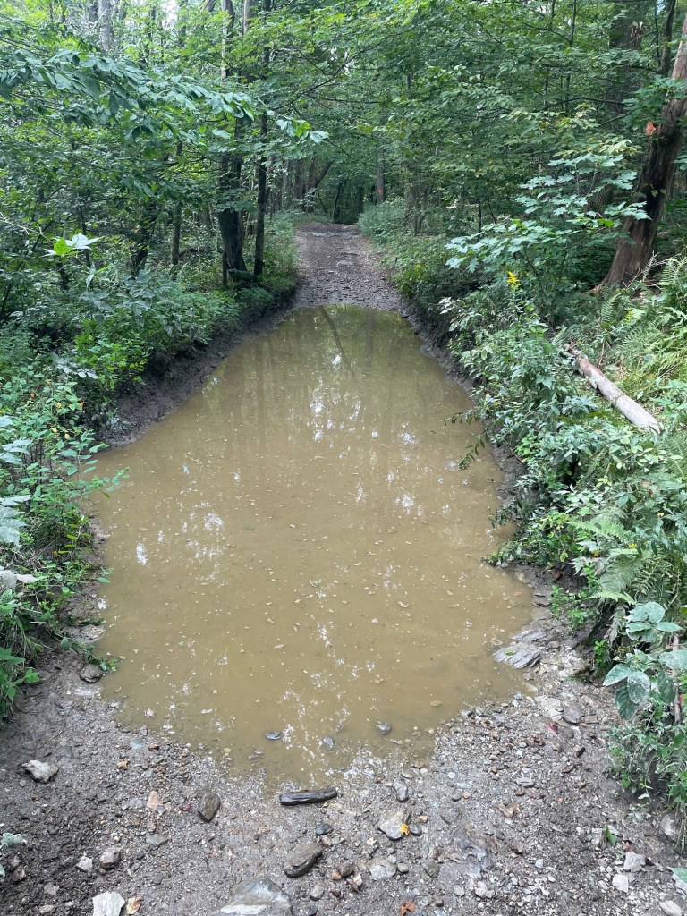
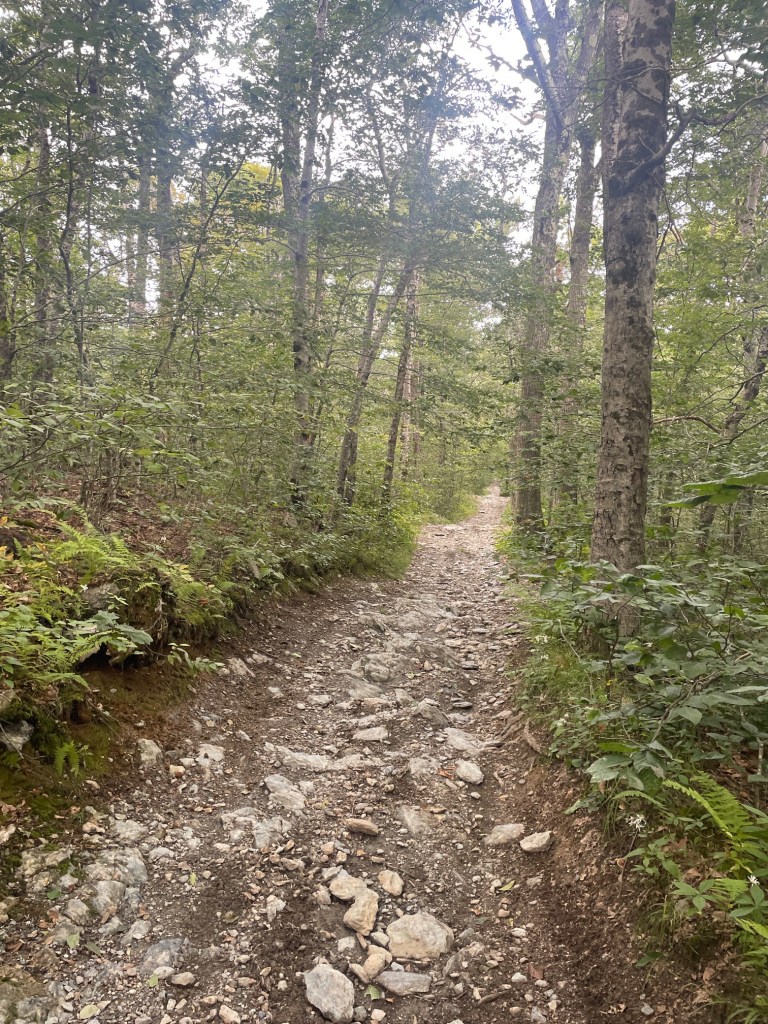
After departing Pine Mountain, it was about a 7km (4.5 mile) detour to snag the second peak of the day, Smith Mountain. I was entertaining the idea of tacking Smith on to the Shaker/Holy Mount hike I had done a few weeks prior, but wanted to keep the mileage that day down a bit (would have been a smaller, but still sizable detour on that hike as well). This section of the hike (along with most of the rest of the hike) was on the Taconic Skyline Trail, part of which I had hiked the prior weekend when I bagged Widows White Peak. I really disliked this trail – a muddy, rocky ATV/dirt bike trail which was terribly unexciting. Partway through and about 1/4 of the way through the hike, my hiking/running IBS made a rude reappearance (it usually only strikes during high intensity trail runs) so I needed to step off the trail and attend to that. Thankfully I was done just before three ATVs went roaring by.
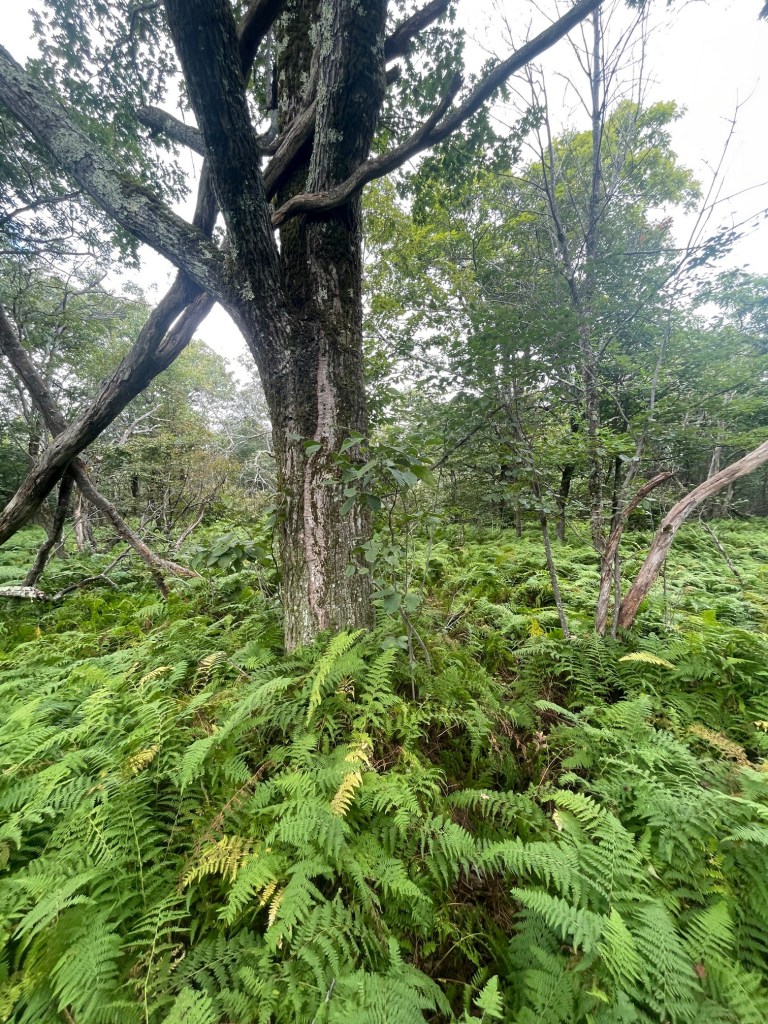
Excluding that stop (which, after sanitizing my hands I had some snacks), it took about 50 minutes to reach the summit of Smith Mountain. Not much to write about here, though the bushwhack to the true summit was made easier because a path through the ferns was evident – it seemed like someone had been hunting for the summit recently.
Berry Mountain and Pease Hill Poppy Top
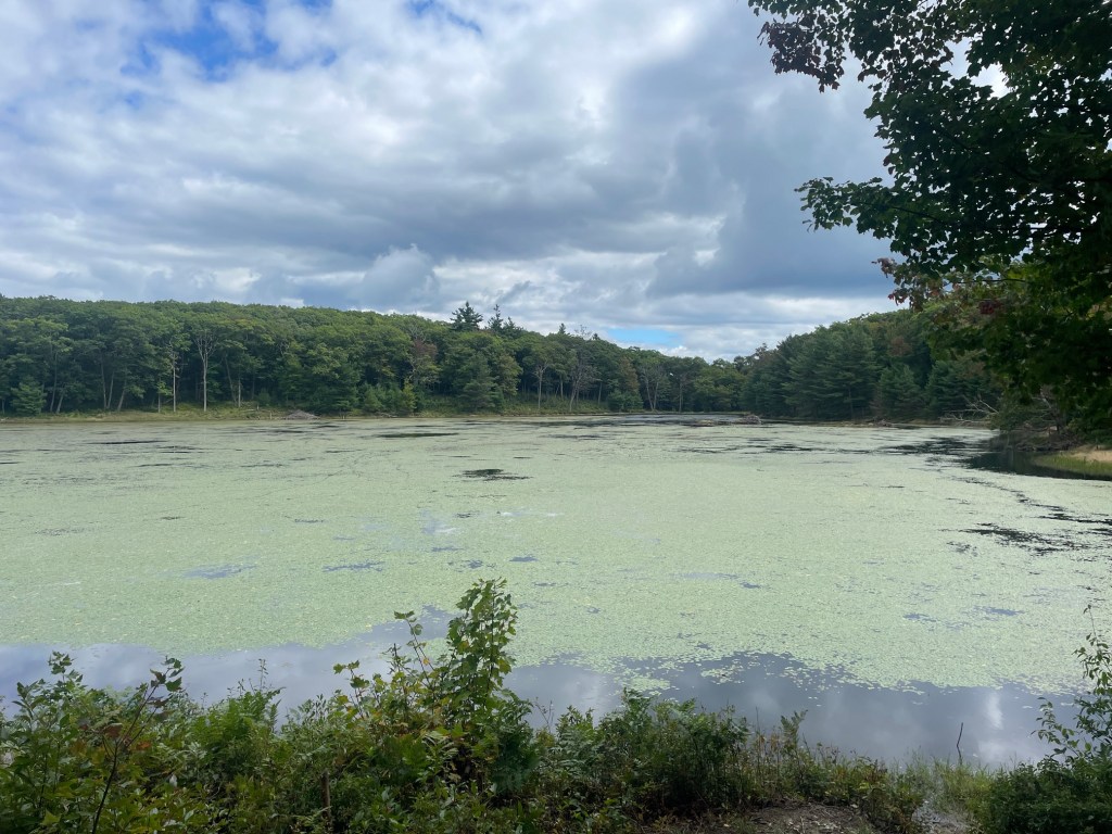
Up next, I planned to take a long rest stop at Tilden Pond, which was pretty much exactly halfway through my hike. So I first had to backtrack from Smith Mountain which was long. I was very relieved to see that my target rest stop location at Tilden Pond had a picnic table, so I was able to lie down for a bit, as well as stretch, massage my legs, and eat a ton of food to refuel.
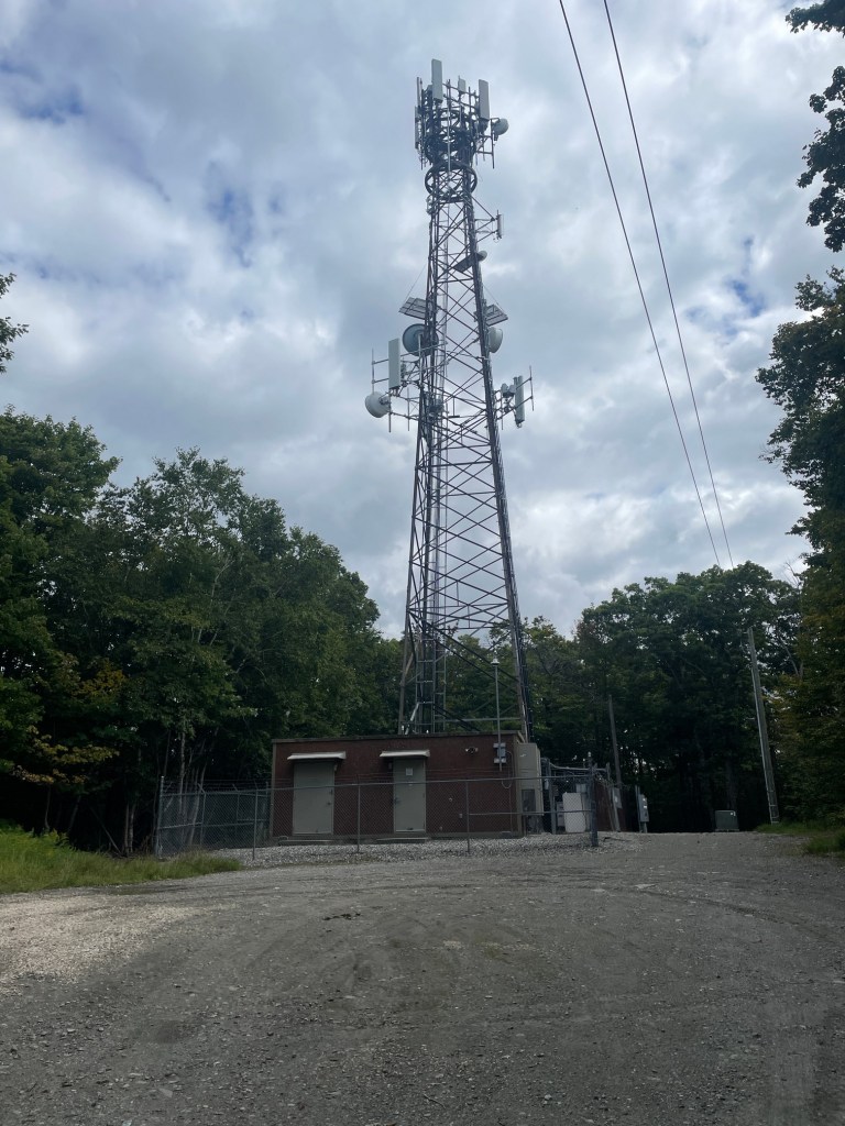
After about 50 mins I was back on the trail. It was a short push over to my third peak of the day, Berry Mountain. I passed by a few campsites on the way, and the travel was pretty easy. Berry Mountain is similar to Mount Wilcox in that a fenced off tower is located at the summit. However, Berry Mountain differs in that the true summit is outside the fencing, and was the only non-bushwhacked summit of the day. I quickly jumped on the highest land, then immediately set off.
It was about 50 mins and just over 2 miles to the next peak, Pease Mountain or Pease Ridge Poppy Top. This one actually sits right on the Taconic Crest Trail (the better trail named “Taconic”). Not much of note to mention here, other than my knee was starting to get angry, nearly 14km or 8 miles into the hike. The terrain became quite rugged with tons of loose rock, so my pace slowed so I would minimize the odds of a mishap.
Honwee Mountain
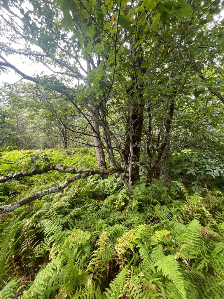
One peak remained for the day, Honwee Mountain. After leaving Pease, I took a short break partway back to the trail junction with the Honwee Trail. The Honwee Trail marked my departure from the ATV/dirt bike trails and back to actual hiking trails, though the trail was a bit overgrown in places. It took about 30 minutes to reach Honwee from Pease, and, naturally, it featured a bushwhack. I then began my final descent down the Honwee Trail back to the car.
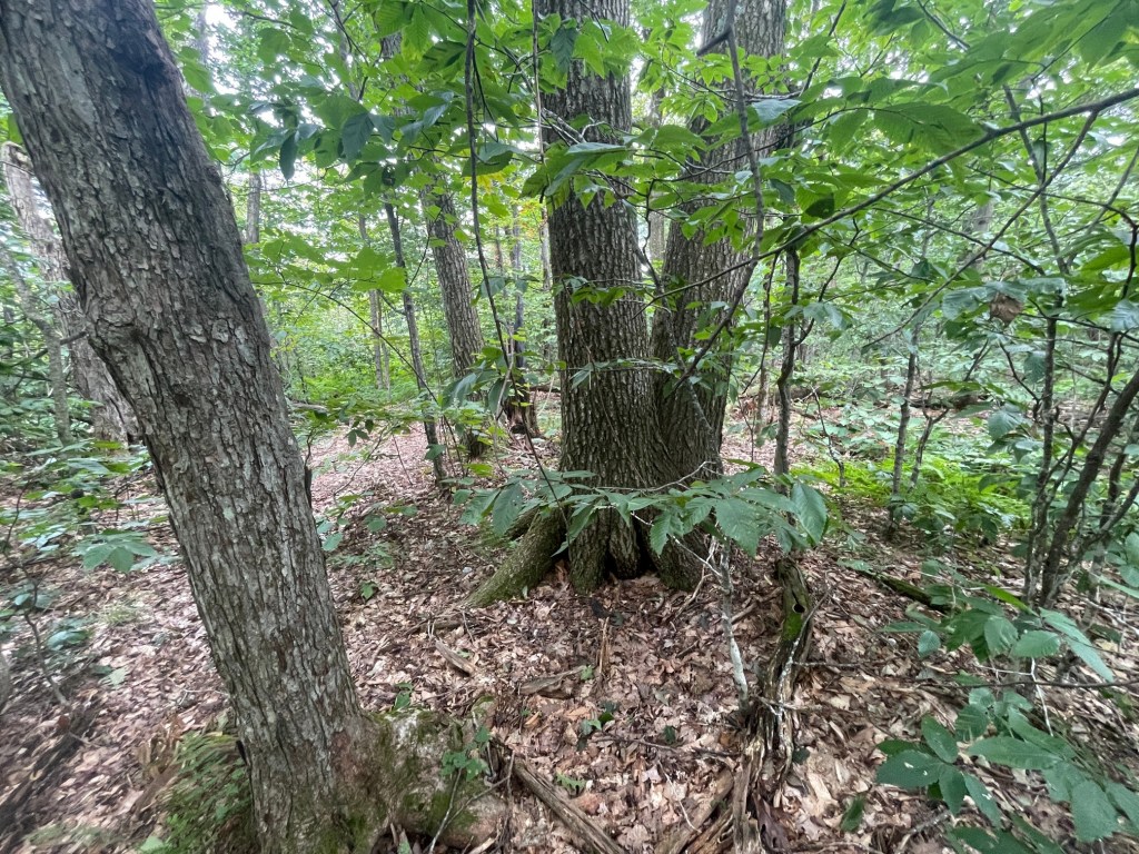
The Honwee Trail crisscrosses with the winding Honolulu Trail, which is about 2km longer, but less steep and actually was more maintained – the top part of the Honwee Trail was completely overgrown. On top of being steep, I had to be very careful with my footing given my fatigue. Eventually the trail became a bit easier to navigate, but had a ton of loose rock under leaves which was a bit finicky to hike down. I took my time and finally re-emerged into civilization after a 36 minute, 2.3km (1.5 mile) descent which dropped 307 meters in elevation (over 1000 feet). Ouch. Definitely not my favorite hike in this group, though I didn’t do myself any favors by electing to string five peaks together into one hike. Still, happy to finish my longest effort on trail in a while, over 19.5km and just under six hours on trail including breaks (probably 4.5 hours moving).
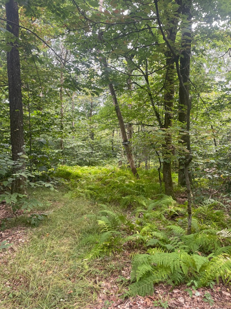
Lulu Brook, which runs past the parking area, feeds into a small pond which has a beach and swimming area. I decided to jump in to clean up a bit before driving home and was shocked at how cold it was, nearly as cold as the cold plunges I do several times a week in Worcester. It ended up being pretty soothing for my achy knee!
What’s Next?
And with that, I’ve completed 38 of 50 Massachusetts’ Highest Public Peaks. This project has done wonders in my knee recovery and gradually building volume. Though, I did take quite a while to recover from that last hike, so this justifies saving some of the longer routes for later.
Prior to the last hike, my PT tested my quad strength as well as symmetry to see how the exercises and hiking has improved things. My results were very good and I’m super stoked to continue improving and building towards ski season:
Left (uninjured) side: 379N -> 565N (49% improvement)
Right (injured) side: 318N -> 524N (64% improvement)
Symmetry: 84% -> 93%
The last 12 peaks are ones I’d like to do in just two efforts, each over 35km in length and well over 1200m of elevation gain. Since I’m not quite ready for those just yet, I’m planning on switching gears for a couple of months to refocus and retool. I have a trail running camp next week in western MA, so I’m dialling down the intensity and volume in the two weeks leading up to it. The plan is to focus on recovery, strength and fine tuning the small things. At the camp, I’m looking forward to learning a lot about all aspects of the sport including nutrition, recovery, and mobility. And also hopefully meet people to run/hike with in future.
Prior to returning to the MA50HPP, I plan to tackle some easier NE115 4000 foot peaks and play around with some more challenging (longer) routes on Wachusett. I have a super cool 10 mile route planned out on Wachusett which will probably get its own post, likely in October.