Following Holt Hill, it was a short break from hiking as I attended a conference in Maine, but I was quickly back at it the following week. My knee was starting to improve a lot as well which I was pretty happy about. Here’s the final part of my Massachusetts hiking adventures for July!
Mount Wachusett
Wachusett is a peak I’d hiked before (and skied on a lot the previous winter) but since it’s the closest to home, and my plan is to hike all 50 peaks on the list this calendar year, I figured I’d hike it again. I plan to hike here during the week after work once or twice a week and perhaps three times per week once I become much fitter, we’ll see. My plan was to do a quick ~3.2km loop which involved parking at the Mountain House trailhead on the east side of the mountain, taking the Bicentennial Trail north, then ascend to the summit via Pine Hill Trail, the steepest trail on the mountain. After tagging the summit, the plan was to descend the Mountain House trail back to the car. A quick hike that I was hoping to finish in under an hour.
I arrived after PT around 6:45pm, hastily got a stretch/warmup in (was worried about calves tightening up) then set off around 7pm. The Bicentennial trail features rolling terrain, starting off pretty easy but then turning into a boulder field closer to the bottom of Pine Hill. I got to Pine Hill (just over 1km) after about 15 mins then started my climb and it was a burner! I definitely felt out of shape compared to the last time I hiked this trail just after moving to MA, when I did two summits back to back! I got to the summit after another 14 mins, took a quick drink, then began my descent.

It was a bit tricky to find the trail due to some fencing near the summit around a pond, but eventually found Mountain House and began my quick shuffle/jog down. I’m starting to run parts of my hikes where possible to test the knee and ankle further, but obviously taking care on more rugged terrain. It was a speedy 25 minute descent back to the car. Total was 3.33km (just over 2 miles), 233 meters (777 feet) of gain, and just under 55 minutes in total. Not bad!
I returned the following week, this time in the morning, and despite being pretty wiped the previous day from a big day the previous Saturday (North and Borden, see below) and needing to take some extra time to warmup and loosen up my sleepy muscles and joints, I blasted the same route in 45:20 which I was really happy about. Good sleep is key, I’m quickly learning the hard way. Also getting much more comfortable moving quickly through rough terrain and also jogging downhill (being strategic and efficient with my line and foot placement). Looking forward to hopefully completing this route in under 40 mins eventually (as of publishing this post, I’ve gotten down to a 41:xx) and also tackle some other trails on Wachusett, it’s a great spot only 25-30 mins from home!

Mount Grace
Mount Grace is the third-easternmost of the MA 50 Highest Public Peaks, and thus it was the one remaining of those three (Wachusett and Watatic being the others) that is viable for me to do after work during the week, being about 75 mins from home. It would mean hiking fast though, as it was about 1 hour 40 mins from work and sunset was around 8:20pm. Google Maps said the state forest was closed, but I was confident that they wouldn’t be structly enforcing trail closures (I was right).
Grace has a couple trails on its east side which can be done separately or as one loop. The short trail wasn’t super appealing, being only about 4km out and back, but the longer trail (at just over 5km) had about 100m more of elevation gain. The loop was about 1km longer than that, but I was worried about running out of daylight (I had two headlamps with me just in case), so I opted for the longer out and back, via the Net M&M Trail.
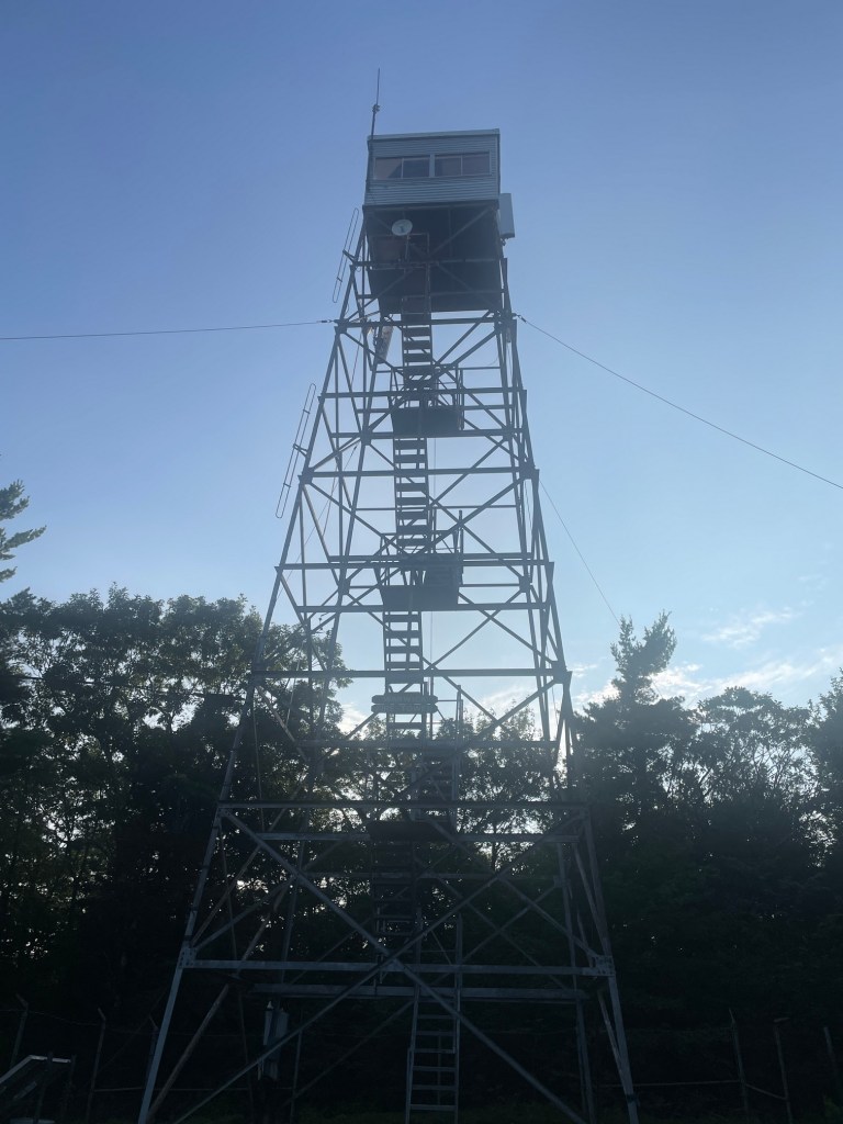
This was another speedy hike, with easier terrain than Wachusett and a pretty forest to walk thrugh. Near the start was a lean-to and apparently there used to be a ski resort here – there are remains of a rope tow somewhere on the mountain but I didn’t see it. I blasted to the summit in 35 minutes where there was a pretty sweet fire tower, the Warwick Fire Tower. I climbed it (definitely felt better than my last fire tower on Massaemett) and while it was a bit windy, it was nice to get some views, including Mount Monadnock in New Hampshire.

After about 10 mins on the summit I began my descent and ran most of it, though the top section had some slippery rock (it had rained earlier in the day) and I also slowed down on sections of the trail with lots of roots. But overall it was fun and felt great! I made it back to the car in 30 minutes for 75 minutes car to car and just enough daylight to spare. Pretty fun little hike, not quite as fun as Watatic or Wachusett but not the worst MA peak I’ve hiked. This one could be a fun winter climb and ski perhaps – the trail was definitely wide enough. I’ll have to see how the short trail looks – being a bit steeper that could be a good descent option on skis.
North Mountain
Back to regular programming on the weekend. My next mission was to tackle two stand alone peaks – North Mountain (another of the 50 on the Appalachian Trail) and Borden Mountain (along with Spruce Hill, another peak on the list in Savoy Mountain State Forest). The total hiking for the day would be around 13.5km with 600 meters of gain, though the second hike of the day (Borden) was a bit more flexible distance wise as you can technically drive to the summit.
This time I brought a ton of food as I typically run out by the end of the day, and was sure to include lots of healthy, protein rich options (as well as some Little Debbie’s cakes as a treat). A lot of that food would be eaten between hikes for lunch. I also brought a ton of hydration – about 4.5 liters of water and a liter of Gatorade.

The hike for North Mountain started steep as it climbed up to the Cobbles then leveled out after that. I encountered a few overnight hikers, going in the opposite direction to the through hiking route, and the terrain was pretty easy approaching Borden so my speed picked up. The summit is about 20 feet off trail and I found a rocky feature corresponding approximately with the summit GPS coordinates. This brushy area was quite pleasant and I took a refueling break here before backtracking.


The return hike I was getting pretty sore (hamstrings and calves specifically) so I was careful to stay hydrated and not push too hard. My calves are pretty weak thanks to bad ankle mobility which is something I’m working on. Got back to the car after 2h 45 mins, 8.5km and 440m of ascent and promptly gorged on a massive lunch at the trailhead (I was actually full by the time I was done!)

Borden Mountain
My start point for Borden Mountain was about 20 mins away and I elected to start at a location that isn’t normally chosen (to be fair, this isn’t a popular mountain in general) – Burnett Pond. The lake unfortunately was a no swimming allowed lake so I couldn’t take a dip after my hike, but I passed a beach on the way over to North Mountain so I had an option to cool off on the way home. From Burnett Pond, my map indicated that the HH Fitzroy trail would take me through the woods down to Adam’s Road, a gravel road that is technically drivable, before turning onto a steep gravel road (definitely not drivable in my car at least) to the summit where a radio tower was located.
There was a trail which started at Burnett Pond, but it did not perfectly coincide with HH Fitzroy on the map. It was quickly clear that the trail I saw was a different, possibly new trail. I wasn’t keen on hiking the gravel road all the way, so I decided to take this mystery trail anyway and see where it led me. My concern was that it would hit a dead end or end up on someone’s property.

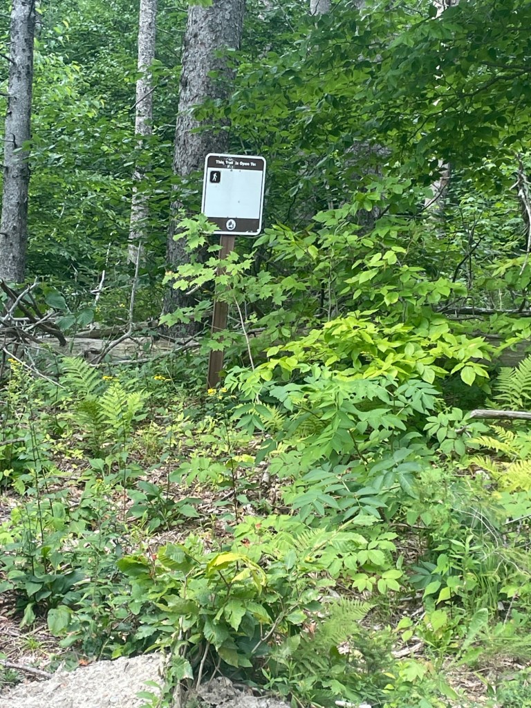
The trail was clearly recently cut but there were blue blazes which indicated to me it was a hiking trail. The terrain was a bit uneven, but offered a gentle slope through the woods – it wasn’t too bad! It gained about 65 meters over 1.2km and spat me out on Adam’s Road, about 200 meters west of where the Fitzroy trail was supposed to end. I saw a trail sign (presumably for Fitzroy) and saw a ton of blowdown, which indicated the trail I took might be a reroute.

The gravel road section was fast travelling but more in the open and the sun was shining brightly, so I was careful to pace myself – I was starting to feel the cumulative effects of that days hiking. I made good time to the top (the road was steep!) and quickly found a survey marker in the woods which lined up with the summit GPS coordinates. I then found some shade on the grass near the radio tower and had some food and water as well as a quick stretch, before backtracking to the car. Definitely not my favourite peak but was an interesting adventure to say the least!


That’ll do it for July. Another 3-parter for August coming soon!


